
It is not easy to compare prices of boating software, both options proposed by each publisher, duties included or options to add may vary. Nevertheless, since I started in the register "How much does it cost" with navionics charts, here's a quick comparison of price quotations on the internet in October 2009. Some prices in dollars or pounds have been converted at exchange rates at mid-October and include VAT. (Prices updated 14 December 2009)
Software
 MAXSEA
• MaxSea Easy V12.6
raster maps + GRIB + Current
charting 24 Road World + 1 Area retail choice (France / Spain / UK,…)
499 €
• MaxSea Navigator V12.6
vector maps + raster charts + GRIB + currents
charting 24 Road World
598 €
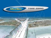
• MaxSea Time Zero Navigator Classic 749 €
• Optional modules MaxSea (Routing, Performance, AIS), Module 300 €
• MaxSea Time Zero Navigator Pack World 5680 €
 FUGAWI
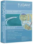
• Fugawi Global Navigator 4.5
Raster charts
129 €
• Fugawi Marine ENC 4.5
vector maps + raster charts + GRIB + AIS
249 €
• Fugawi Marine ENC 4.5 + USB Card Reader
vector maps + raster charts + GRIB + AIS
Charting 1 Navionics Gold XL9 Region
459 €
 EURONAV
• SeaPro 3000 Lite / Lite
Vector Livechart / + raster charts (Lite ) + AIS + Tides + TCP/IP
1 carte Live Chart GB / France Manche-Atlantique
Lite 160 € / Lite 270 €
Option holder Navionics USB drive 107 €
• SeaPro 3000 Standard
Vector charts + raster charts + currents + AIS + GRIB
375 €
Media player option Navionics charts 107 €
SCANNAV
• ScanNav
Vector charts + raster charts + Navionics USB (card reader not included)
120 € downloaded + dongle 45 € (to use multiple PCs)
Options : Tides 60 € 40 € by atlas SHOM • GRIB Weather 60 € • AIS 60 €
NOE
• Noé
SHOM scanned raster charts home made or C-Map Max NT or Navionics USB + currents + AIS + GRIB
159 € Unmapped or USB drive
199 € Navionics USB card reader (chartless)
Option : Tides France 100 €
This regards the main software for PC. You may find it difficult to get an idea, all options are often numerous and the bill can rise quickly.
In this "jungle", our two applications for the Mac are much better placed in price / features :
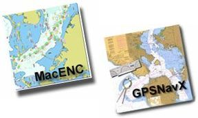
GPSNavX
Raster charts + GRIB + AIS + Tides
48 € ($60)
MacENC
Vector charts + raster charts + GRIB + AIS + Tides + SailTimer + TCP/IP
145 € ($180)
Not to mention the ergonomics, but that is another story.
Charts
• MAPTECH Raster Charts (Western Europe) 131 €
• NAVIONICS Gold XL9 36XG (Western Europe) 238 €
• C-MAP WIDE MAX MW3 (Western Europe) 357 €
Francis hello,
Your plea for mac-navigation is convincing. User of a system comprising card reader, Radar, pilot, VHF (Raymarine) AIS transmitter and receiver (ACR Nauticast-B Class B AIS Transponder) visible from the cockpit on the card reader, I wonder if it is possible to connect a mac to NMEA multiplexer that would allow me to recover all data (with the exception of the mapping, I would do in this case, the purchase of software and compatible maps MacENC) and prepare my sailing comfortably at the chart table.
Thank you