
A little history
Imray charts, Laurie, Norie & Wilson LTD is the private publisher of nautical charts and nautical books the best known of England. It is also the oldest, heir of the first private publishers of nautical charts of the 18th century, les « bluebacks » ou « blueback charts », who owed their name to the blue manilla paper highly resistant used by these manufacturers.
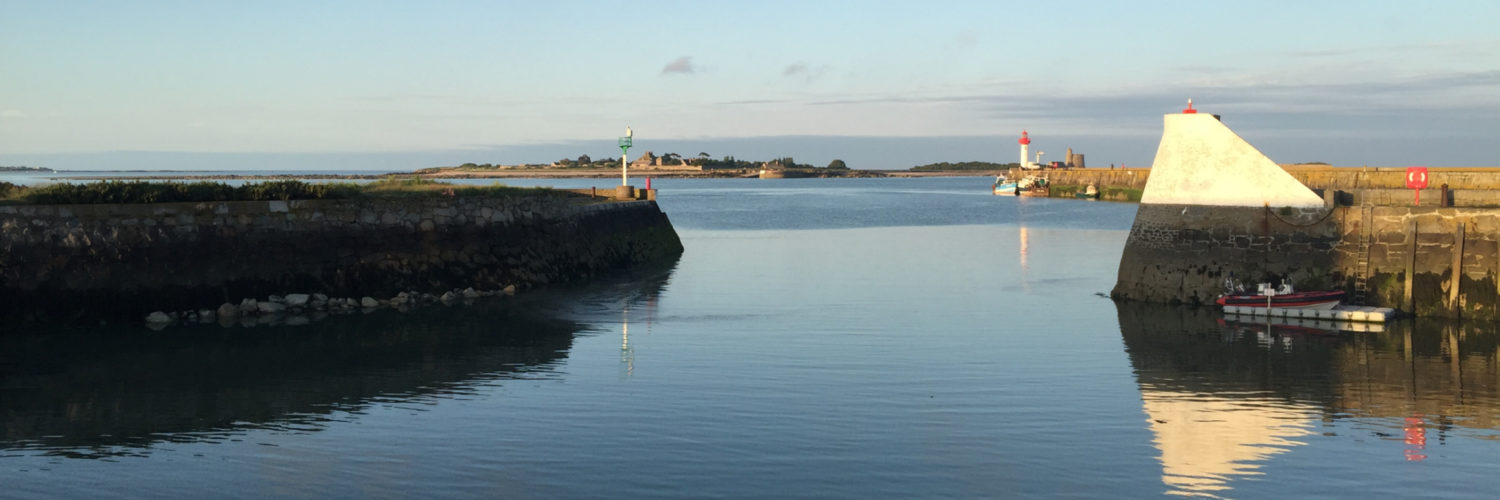
I found out the Imray charts for yachting during my first trip to the West Indies, the late 80. All rental boats which I was involved were equipped with these charts, a smaller format so convenient to spread on the chart tables, Water resistant, folded and presented in robust clear pockets.
Featuring beautiful colors, very readable, they had many cartridges details of ports and anchorages, extremely useful for navigation.
This format, A few years later, largely inspired by SHOM for folded “P” pleasure cards. I sold it for several years in my shipchandler store in Nantes, and I always use a few copies I have treasured.

Imray charts for boating
 Imray Chart Navigator
More than two centuries and a half later, in March 2011, Imray charts hit very hard in partnering with Tucabo to publish its charting on the iPhone and iPad, by including a navigation application of very high quality translated into seven languages.
Functions :
- Imray raster charts with display rotation
- Selection of charts with Cover Flow display
- Waypoints, Routes and Tracks with distances and bearings
- Position and destination
- Route fond, speed and heading
- Magnetic compass
- Calculating distances and bearings between any point
- Electronic Bearing Line (EBL)
- GPS Instruments
- Tidal Predictions of the Day, features completed by Tides Planner (*)
- Aerial photos of places and port plans
- Email sending waypoints, routes and tracks in KML (Google Earth)
- Download the Help in PDF for reading with iBooks
(*) Tidal predictions beyond one day be derived from the application Tides Planner if it is installed on the same device.
The charts provided with the application updated with corrections up to February 2011. Until February 2012 they will be updated for free. The application will be replaced each year by a new version (Buy) with revised charts.

Imray Chart Navigator with iPhone
Areas available from 1 April 2011 :
- North Sea (Belgium, Netherlands, East England, North and East Scotland) 43 €
- The Channel (England, from Scilly to Dover Strait, France, Pas de Calais to Brest) 40 €
- Atlantic (France, Spain, Portugal, Brest to the Strait of Gibraltar) 45 €
Areas to come :
- British Isles, west coasts and Ireland
- Caribbean Islands
Languages:
- German, English, Danish, Spanish, French, Italian, Japanese
My first impressions
Imray had the good idea to provide a free version to get an idea of all the features and use of their application. No limitations, except that only two general charts of the Channel are available, without detailed chart.
Positive :
- The interface was well designed, the upper instruments banner and lower functions banner allow a maximum screen area to the chart.
- Imray raster charts are impeccable quality.
- The display is fast, Cover Flow window for the chart selection is a good idea, though less readable on an iPhone.
- Tips are welcome as a small image of the chart, in the top banner, that can enlarge thumbnail sized for a tap, a new tap on an area of the thumbnail, center the map on this area (iPad only).
- Most useful features are found to navigation, icons thoughtful.
- A single application for both iPhone / iPad.
Negative :
- Learning the application requires a certain time, many functions, many icons to learn, and presentation are not always intuitive.
- Reading the items on raster chart is impossible without a certain zoom level, instead of vector charts.
- The Goto function, after tracer, used in quite all navigation applications, is absent and replaced by the notion of "destination", this affects the ease of learning.
- No imports waypoints and routes.
- Tidal harmonics files are very approximate
- Price, reduced to the geographical area, is quite high. Each year it will buy the geographical area release for latest update .

Imray Chart Navigator with iPad
My opinion
Without having tested at sea, is undoubtedly a better level of application of those we know about computer. Raster charting performed by Imray certainly made the most of those still available to date.
However, this type of scanned charting, although very attractive, I feel completely overwhelmed to use electronic. Vector technology is more suited to the digital display, where chart information are contained in separate files with much greater flexibility in viewing and ease of updating. In a word, that is chart of the 20th century with media of the 21st.
Given the technical quality of the application, and Imray cartographers indisputable technicality, I hope they will develop quickly to a vector charting.
At that time, they will probably be at the top level publishers of electronic navigation.
C’est un article intéressant.
Pensez-vous que Imray est un meilleur produit et plus simple a utiliser que iNavX?
There is no answer to this question. iNavX is an application developed to use several types of mapping, raster and vector. Imray est, comme Navionics Mobile, charts editor who created and built an application to use its mapping. The choice is not necessarily to be made between two applications, but between two types of mapping. I already expressed my views in this article : despite the undoubted quality of the mapping Imray, it remains a raster format that does not seem appropriate to use computer. My personal choice is made long : iNavX, for software quality + Navionics charts for quality vector maps.