![]() After the end of the contract which allowed iNavX to benefit from the beginning all the Navionics charts (¹), and after several unsuccessful attempts to include C-Map charts, NavX Studios LLC finally contracts with the Canadian company SiiTech Inc. to provide iNavX with a charting gradually covering the world.
After the end of the contract which allowed iNavX to benefit from the beginning all the Navionics charts (¹), and after several unsuccessful attempts to include C-Map charts, NavX Studios LLC finally contracts with the Canadian company SiiTech Inc. to provide iNavX with a charting gradually covering the world.
Called Professional+, this vector charting is based on ENC charts produced by various world hydrographic services. The big news is that – finally ! – the European continent sees the arrival of charts for the coasts of France, United Kingdom and Ireland, The Netherlands, Belgium, Spain, Portugal, Italy, and many others.
Pricing
For the whole of the coasts of France (including Mediterranean, Corsica and also Sardinia), the price of the annual subscription remains reasonable = 90€/year. For United Kingdom and Ireland, the price is quite surprising = 45€/year ! But if you feel like sailing in Iceland, to sail around it you will have to pay 5 x 230€ ! All right, you don't go there every day, but precisely ! Compare to coverage and details equivalent to the 34€ of Geogarage (Weather4D R&N) or the 36€ of Transas (iSailor) This seems to be a deterrent, to say the least. Also count 230€/year for Greece, The other of available countries range from €23 to €90.
On the other side of the Atlantic, the offer is sparse in the Caribbean : no coverage of the Greater and Lesser Antilles, only Cuba and the Dutch Islands. For America, outside the USA, Panama Canal (200€/year), Argentina, Chile, Uruguay, Suriname. Other countries of the World, Not much better covered, can be found on the dedicated website page of iNavX.
Chart display
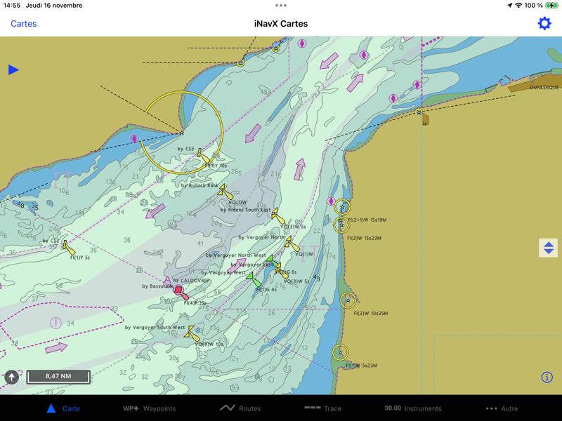
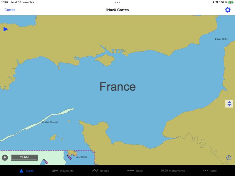
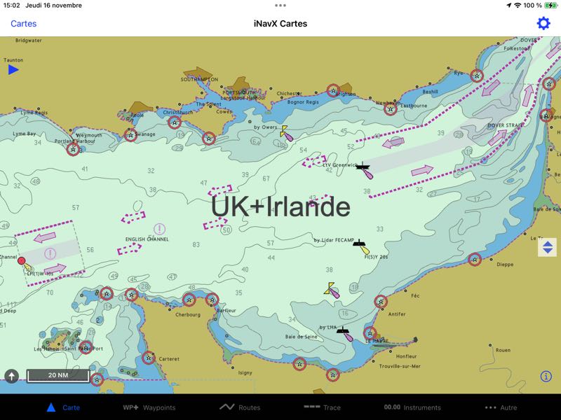
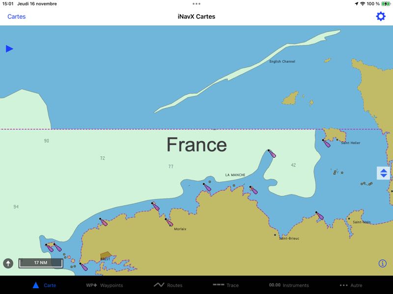
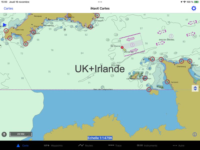
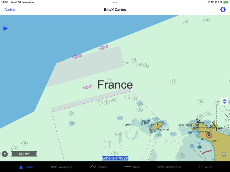
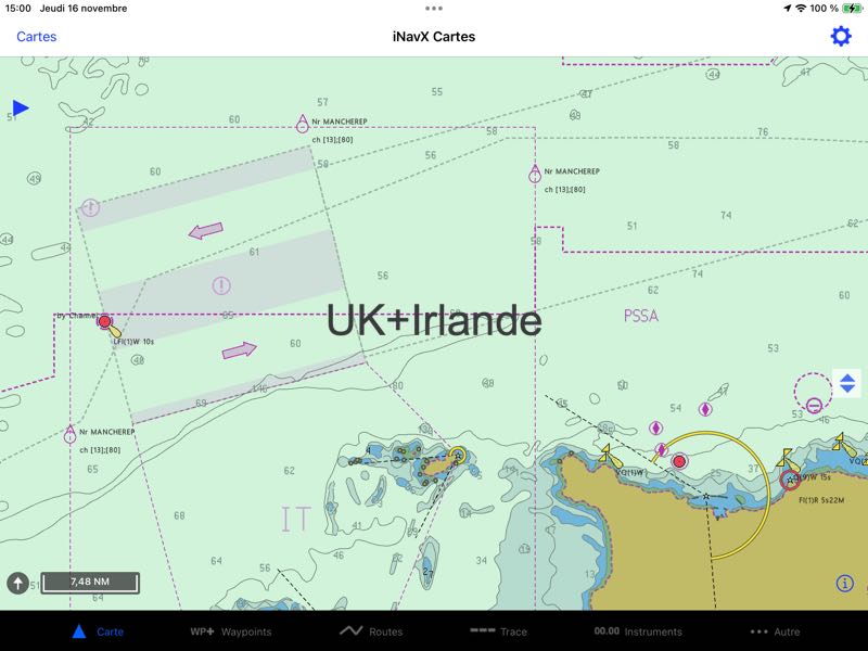
If the user interface is neat, fairly smooth handling, there are still a number of defects that should be fixed soon. The names of the islands are absent everywhere, tested for France and the UK, and above all, the marks do not comply with the international standard. In the display settings there is always a button to switch from international to US symbols, but it is inoperative and it is the US symbols that are displayed.
Charts cutting
The cutting of regions where two catalogues overlap is the result of a curious distribution. In the English Channel, in example, France charting information is absent at several scale levels in UK territorial waters, while the UK charting covers the entire Channel. This is particularly annoying when you have to cross a traffic separation zone on a North-South route and vice versa. You have to switch from one catalog to another, which is not at all practical, and even less secure.
There would therefore be definite progress to be made in the choice of assemblies.
Application
For all other features, nothing has changed. There are still a few bugs in the menus and settings, and sometimes there are still some hang-ups.. The download of the GRIB and the display are still as rudimentary as ever. It is also regrettable that the display, available in the past, of a satellite view or Maps can no longer be done in an overlay window. The development has therefore not changed much since its takeover. It's a shame because originally, its creator, Richard Ray, had provided it with a great wealth of functions for the time (Released in 2008 with iPhone and 2009 for iPad ²), development needs a serious overhaul to meet the challenges of the competition.
–––
(¹) Bad weather for iNavX [Update]
(²) iPad : new support for iNavX ?
–––

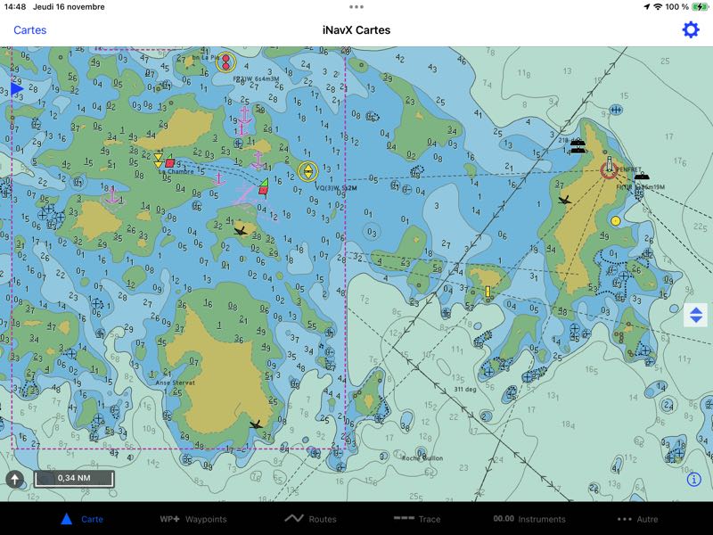
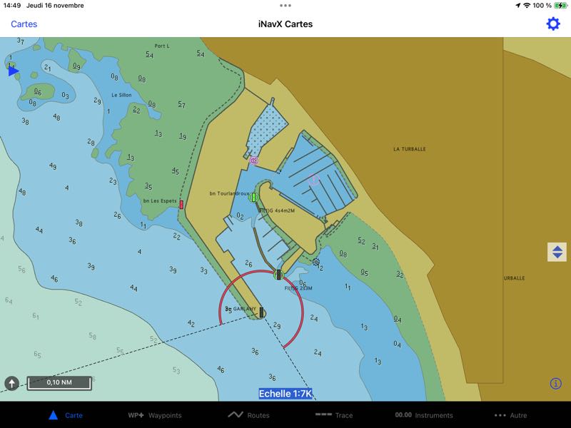
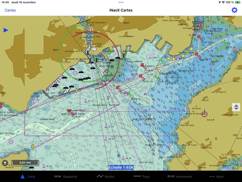
Not all iNavX customers think this way. To find this very adapted interface where the routes are stored in memory, where WPTs are referenced is far from obsolete, especially when you have a tablet that still has all the basic cards.
From this point of view, I can't find the way to load and buy these cards from iNavX ? Please indicate how ?
In the "Maps" page you have two tabs : "My Cards" and "Store". Purchases are made in the latter.
It has been a long time since iNavX customers in France switched to W4D Routing & Navigation.
And yes, we can somehow regret the purchase of this app which didn't bring anything very interesting.
Those who have kept the app with the old 46XG Navionics chart can still use it, for example, for navigation in the Netherlands, where the Geogarage charts still do not cover all the internal channels. Especially for the Stande Mast Incomplete Route.
Sometimes it's the only use left for me. Although the Dutch app also works very well in this area.