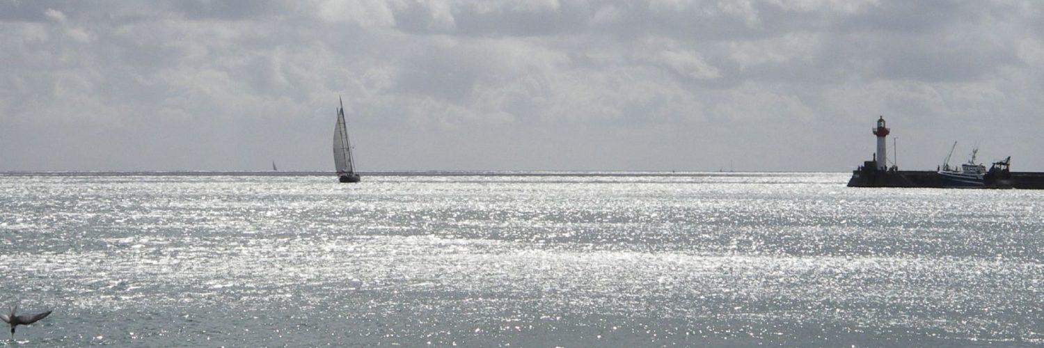
![]() From iOS 11 until iPadOS 18.7.x you could use the “SplitView” function (¹) to view two apps running simultaneously on an iPad. It was particularly interesting in “landscape” mode for, in example, use Weather4D at the same time as consulting the User Manual and watching its videos, or even activate two different applications. Since version 26.x has arrived the multitasking mode (²), or multiwindow, macOS style, which consigns SplitView to oblivion. Latest update 26.2 further improves operation by correcting some minor flaws. Read more …
From iOS 11 until iPadOS 18.7.x you could use the “SplitView” function (¹) to view two apps running simultaneously on an iPad. It was particularly interesting in “landscape” mode for, in example, use Weather4D at the same time as consulting the User Manual and watching its videos, or even activate two different applications. Since version 26.x has arrived the multitasking mode (²), or multiwindow, macOS style, which consigns SplitView to oblivion. Latest update 26.2 further improves operation by correcting some minor flaws. Read more …
Label : Weather4D
Updating Weather4D User Guides
Changes have been made to the available ocean GRIB models :
-
- MFWAM Global : Météo-France's global wave model has been upgraded to a resolution of 0,1° (6 NM) in addition to the 0.5° (30 NM) current. As a result, the MFWAM Europe is withdrawn.
- HYCOM : the American global currents model, which has become unreachable, is discontinued.
- Various additions and improvements.
ECMWF's AIFS Forecasting Model Becomes Operational
![]() Tuesday 25 February 2025, A new version of the deterministic model of the artificial intelligence forecasting system (AIFS) has been published and operationally implemented. This update marks a turning point in ECMWF's history, since AIFS Single v1 is the first AIFS model to be rendered fully operational (¹). Read more …
Tuesday 25 February 2025, A new version of the deterministic model of the artificial intelligence forecasting system (AIFS) has been published and operationally implemented. This update marks a turning point in ECMWF's history, since AIFS Single v1 is the first AIFS model to be rendered fully operational (¹). Read more …
Update Weather4D R&N 2.0.94
Update Weather4D 2.0.94 Fixing potential crashes of the application in certain conditions of use.
Updated also Weather4D Routage 2.0.59
–––
The magnetic north pole is on the move [Update-2025]
Earth's magnetic north pole is rapidly moving away from the Canadian Arctic towards Siberia. NCEI scientists (¹) updated the global magnetic model (WMM) 2025.

The position of the geomagnetic North Pole is 80.8°N in latitude and 138.6° E in longitude
Update Weather4D R&N 2.0.93
- Fixed an issue that occurred with the update macOS Sequoia 15.2 preventing the app from opening on Mac.
- Corrective update regarding a malfunction in the selection of time steps of some forecast models.
In addition, The model IFS increase up to 15 days and is augmented by the " Gusts ”
Addition of the Argentina charting available at Geogarage.
–––
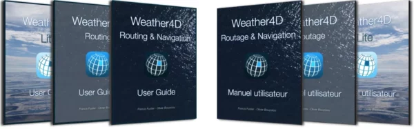
Update User Guide Weather4D Routing & Navigation
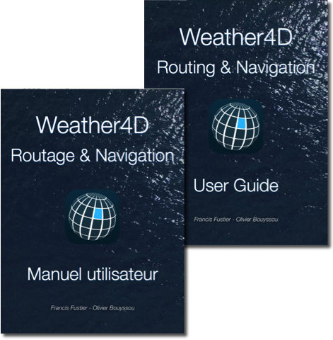 Update V.2.4 guides (FR/EN) of Weather4D Routing & Navigation.
- Fixed incorrect page numbering in the Summary.
As a reminder, updating books in Apple Books : Apple iBooks becomes “Books”
–––
Currents and waves at hectometric resolution from Ifremer (Episode 2)
Episode 2 – Illustrations
Forecasts IFREMER (see Episode 1) available in Weather4D are of two kinds :
-
- Current forecasts from the MARS2D model
- Sea state forecasts (combined currents and waves) based on WW3 model
These files concern areas of the Channel and Atlantic whose coverage and resolutions are significantly different. Read more …
Currents and waves at hectometric resolution from Ifremer (Episode 1)
Episode 1 – Description
Since 7 May 2024 the latest versions of Weather4D have been enriched with several new weather and ocean models (¹). Among the latter, ultra-high resolution current and wave forecast models from’Ifremer come in addition to Copernicus models (formerly called MyOcean) for the Channel and Atlantic coasts. These forecasts are provided with hectometric grids, can be reduced up to 190 meters for some models. So Ifremer, what is ? Read more …
GRIB files and time zones
 An incomprehensible malfunction occurred recently for a Weather4D user, sailing in a “lost hole” on the edge of the Indian Ocean, namely the Cocos Islands, challenged me to the point of getting lost in conjectures. A GFS file due ten days ago categorically refused to be displayed in the application with the date, damn !
This unfortunate sailor - for which I would like to thank him - forced me to make a determined search for the cause of the problem.. After much procrastination, explorations of settings that may be faulty, since no other user had reported such a problem to us, the light finally came out ! Read more …