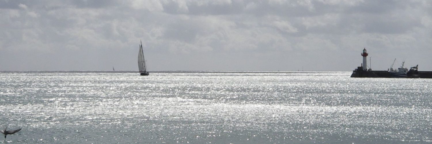
 After Christmas presents, there are New Year's gifts, after New Year's gifts there are… NavimetriX gifts : a bunch of new functions, some of which are already ahead of roadmap. We are not idle at SOFT4SAIL ! New update 1.6.71 (iOS/macOS waiting). Read more …
Category : Applications
All applications
NavimetriX update 1.5.63
NavimetriX Update 1.4.60
The update 1.4.60 to NavimetriX was just published, available on all stores Windows / Android / macOS / iOS.
This version mainly contains corrections and improvements : Read more …
iPadOS 26.2 and multi-window management.
 From iOS 11 until iPadOS 18.7.x you could use the “SplitView” function (¹) to view two apps running simultaneously on an iPad. It was particularly interesting in “landscape” mode for, in example, use Weather4D at the same time as consulting the User Manual and watching its videos, or even activate two different applications. Since version 26.x has arrived the multitasking mode (²), or multiwindow, macOS style, which consigns SplitView to oblivion. Latest update 26.2 further improves operation by correcting some minor flaws. Read more …
In-situ weather data to support forecasts in NavimetriX
Weather and ocean data In-situ are observational data broadcast in real time, or quasi-real, from different sources : semaphores, ships at sea, fixed or drifting buoys, airports, and also specialized satellites. This data is available as open data to the general public and also for reuse by the economic sphere.. The new NavimetriX application allows you to display this data to complete the forecasts of models distributed in GRIB format. Read more …
NavimetriX Update 1.3.55
The update 1.3.55 to NavimetriX was just published, available on all stores Windows / Android / macOS / iOS.
All features announced for this quarter in the roadmap have been added and many fixes made. All details on the FaceBook group users.
–––
NavimetriX Update 1.2.49
 A new NavimetriX update is available on all media Windows / Android / macOS / iOS
All details on the FaceBook group users.
–––
NavimetriX, universal navigation
 NavimetriX is the world's first navigation application featuring a unified, cross-system 3D GUI, synchronized in real time across all devices.
The new navigation and weather-routing application NavimetriX was just published. Result of long development work, this application revolutionizes navigation on mobile as well as fixed devices with its universality. It indeed offers a unique user interface, with elaborate graphics, for all operating systems : macOS, iOS/iPadOS, Android and Windows. In addition, regardless of the devices used, a single account allows full settings and data synchronization . Read more …
Isilor not yet buried [Update]
 Users will appreciate : 6 years after the latest version 1.11.0, against all expectations Wärtsilä publishes a update 1.12.2.
Nothing extraordinary however, But it was well worth a brief :
- Minor bug resolution
- Version compatible minimum iOS 11
Unlike my fears, Isailor seems not to be completely abandoned.
–––
[Update] : Reading the dysfunctions noted In the comments below, It would still seem that this application is at the end of life…
–––
⚠️ Iridium messaging Mail & Web disappears [Update]
 Iridium has just announced the withdrown of the application and the service Iridium Mail & Web app in September 2025 !
We wanted to inform you that after more than a decade of service, l’application Iridium® Mail & Web will be put out of service 13 th 2025. We understand that this service has played a vital role by allowing end users to remain connected in distant places, And this decision was not taken lightly."

