This important Updating the app mainly concerns the cartographic rendering of the user interface.
Label : MacENC
MacENCx64 finally offers global charting
Since taking over MacENC at the end of the year 2020, become MacENCx64 (¹), it took three painstaking years for the company NavStation LLC to finalize the implementation of a global charting. Since January 1 2024 it is now done. A long negotiation with the ENC charting distributor ChartWorld (²) has enabled the creation of a range of vector charts in ENC S-57/S-63 format (³) as in-app purchase. Read more …
MacENC is back

 MacENCx64 is now the name of the MacENC application which has just been published by its new developer NavStation.
MacENC has been completely adapted and recompiled into 64 bits for recent MacOS systems and new processors, which explains the new name. I continue to ensure the French translation. But be careful : to date Navionics cartography is no longer available. So there is no charting yet for the coasts of Europe, except ENC S-57 and S-63 available from Chartworld (see the page Digital charting). Read more …
MacENC and GPSNavX disappear forever [Update]
Since 30 th 2018 (*), I already had information regarding discontinuation by NAVX Studio LLC of the development of two historical applications created by Richard Ray : GPSNavX and MacENC. The buyers of these applications and iNavX had clearly announced focuse only to the development of iNavX, on iOS and Android. It is likely that applications on Mac were no longer profitable, especially with the loss of Navionics maps for MacENC. Read more …
Navionics charts are no longer available for MacENC [Update]
[Update 30 th 2018] Warning : MacENC application is no longer supported by its developers. It no longer reads raster charts and Navionics charts are no longer available. Application is discontinued to date.
Since the upgrade of Navionics Gold to Navionics Plus (¹), Navionics supply disappeared from Fugawi / Charts folder for MacENC. Thinking of a temporary disappearance, I finally asked the Fugawi support who confirmed (between the lines) permanent deletion : Read more …
NV Chart extends coasts of France from SHOM
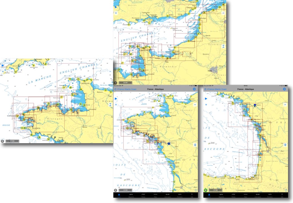
In a previous entry I presented the SHOM raster charts provided by many publishers on iPad. For several weeks the German nautical chart publisher NV Verlag offers two new areas ending coverage of the coasts of France Atlantic and English Channel. These charts are usable both with iNavX on iPad/iPhone, only with GPSNavX and MacENC on Mac. We can therefore, unlike Navionics, use the two available copies of each region on two different media (iPad , iPhone ou Mac).
Free ENC river charts for use with MacENC
 As part of its policy aimed at offering users an ever more efficient and safe waterway, public institution Waterways of France (VNF) embarked on the production of electronic navigational charts on various inland waterways. The first two : the “Dunkerque-Escaut” and “La Garonne” connection are published.
The big surprise, unique case in the history of French administration, is that these charts are available free and free download on VNF website. It was worth saluting ! Read more …
Connect Miniplex-2USB with GPSNavX/MacENC
Multiplexer Miniplex-2 USB (¹) by ShipModul company can connect all the instruments on board directly to a USB connector on your Mac. GPSNavX and MacENC software can receive and display NMEA instruments, and if necessary forward to an autopilot, a VHF DSC, chartplotter, a Radar or any other repeater.
A “Miniplex2” utility allows you to configure the input and output channels of the device, choose from several operating modes, and offers advanced options for complex installation.
For a classic configuration the implementation is quite simple, and one Miniplex2 Help in French is integrated into software for detailed explanations of the various options available. Follow your guide… Read more …
A test onboard with Navigation Mac
During a somewhat sad weekend in January, we joined the port of L'Herbaudière, Isle of Noirmoutier, via the picturesque Gois passage at low tide.
We, that is to say, a boating journalist, my wife and myself.
Welcomed by two “naturals” of the country, Henri and Jean-Etienne. The latter putting his superb Océanis at our disposal 347 for the first on-board test, In France, navigation applications on Mac, iPad and iPhone. A great first, somehow. Read more …
Connect GPSNavX/MacENC with an AIS
It is more and more common to see an AIS receiver, Automatic Identification System (*), receiver above yacht's chart tables. Although only merchant vessels of over 300 tons and passenger ships are required to fit onboard an AIS Class A transponder, small commercial vessels are increasingly fitted with cheaper standard AIS Class B transponders. Read more …


