
March, the volume 2 from Introduction to Marine Weather – Weather in the Mediterranean, is updated on the iBook Store (Apple Books)
Version 1.2 – Layout improvements and link fixes.
- 88 pages
- 48 screenshots
- 14 videos
Warning : A severe bug still unfixed affects the new process for uploading book updates. The version number is no longer replaced on the iBook Store and remains "Original". On the other hand, the description of the modifications is present. Once again : thank you Apple !
–––
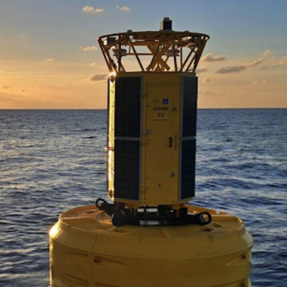 Following the catastrophic weather phenomenon that hit Corsica on 18 August 2022, causing considerable damage, Météo-France has undertaken to deploy additional resources in the western Mediterranean to better predict the occurrence of such phenomenon.
 March, the