This important Updating the app mainly concerns the cartographic rendering of the user interface.
Category : MacBook

Weather4D R&N and distance calculations
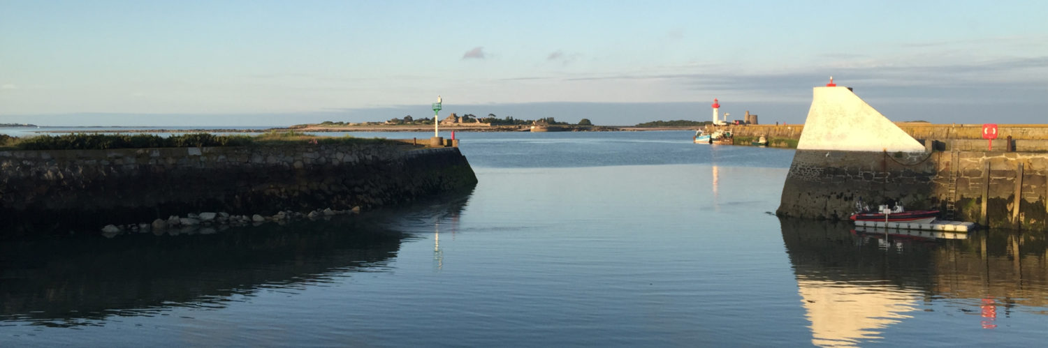
![]() Since the arrival of ARM-based Mac (M1… M3…) and the system macOS 11 Big Sur, Weather4D Routage & Navigation works natively on our favorite computers (¹). But this happy event did not go, since then, without some small restrictions. The most annoying for users was, until this day, loss of distance calculation. This is carried out on touch devices by a two-finger long press, no function allowed the translation of this gesture on Mac. The mouse only has one pointer, not two ! Read more …
Since the arrival of ARM-based Mac (M1… M3…) and the system macOS 11 Big Sur, Weather4D Routage & Navigation works natively on our favorite computers (¹). But this happy event did not go, since then, without some small restrictions. The most annoying for users was, until this day, loss of distance calculation. This is carried out on touch devices by a two-finger long press, no function allowed the translation of this gesture on Mac. The mouse only has one pointer, not two ! Read more …
MacENCx64 finally offers global charting
Since taking over MacENC at the end of the year 2020, become MacENCx64 (¹), it took three painstaking years for the company NavStation LLC to finalize the implementation of a global charting. Since January 1 2024 it is now done. A long negotiation with the ENC charting distributor ChartWorld (²) has enabled the creation of a range of vector charts in ENC S-57/S-63 format (³) as in-app purchase. Read more …
Connecting USB/Bluetooth GPS with Mac M1 [Update-2]
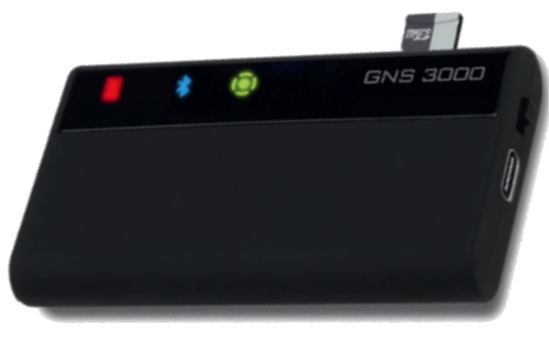
 The arrival of Macs with Apple M1 processors and macOS systems 11 “Big Sur” and macOS 12 “Monterey” caused disappointment among GPS users connected via USB and/or Bluetooth for their navigation applications.
In USB, latest driver Prolific V.2.2.2 is now universal for GPS BU-353xx from GlobalSat. As for the GNS3000 (¹) in Bluetooth it always suffers from an instability of the interface for the connection of multiple devices, instability that unfortunately does not yet seem to be fully fixed. Read more …
Weather4D with Mac M1
![]() We've been talking about it since 2020 in the Facebook group of Weather4D users, the messaging app Weather4D Routage & Navigation (¹) now works on Mac with ARM processors : Mac M1 and later, from the system macOS 11.x (“Big Sur” et seq.). Simply connect the Mac to a GPS receiver or NMEA gateway via Wi-Fi to receive the position and navigation data of the instruments. Read more …
We've been talking about it since 2020 in the Facebook group of Weather4D users, the messaging app Weather4D Routage & Navigation (¹) now works on Mac with ARM processors : Mac M1 and later, from the system macOS 11.x (“Big Sur” et seq.). Simply connect the Mac to a GPS receiver or NMEA gateway via Wi-Fi to receive the position and navigation data of the instruments. Read more …
MacENC is back
![]()
 MacENCx64 is now the name of the MacENC application which has just been published by its new developer NavStation.
MacENC has been completely adapted and recompiled into 64 bits for recent MacOS systems and new processors, which explains the new name. I continue to ensure the French translation. But be careful : to date Navionics cartography is no longer available. So there is no charting yet for the coasts of Europe, except ENC S-57 and S-63 available from Chartworld (see the page Digital charting). Read more …
Connect Miniplex-2USB with GPSNavX/MacENC
Multiplexer Miniplex-2 USB (¹) by ShipModul company can connect all the instruments on board directly to a USB connector on your Mac. GPSNavX and MacENC software can receive and display NMEA instruments, and if necessary forward to an autopilot, a VHF DSC, chartplotter, a Radar or any other repeater.
A “Miniplex2” utility allows you to configure the input and output channels of the device, choose from several operating modes, and offers advanced options for complex installation.
For a classic configuration the implementation is quite simple, and one Miniplex2 Help in French is integrated into software for detailed explanations of the various options available. Follow your guide… Read more …
The question of choice
A reoccurring question comes regularly by email from my visitors : which computer equipment to choose for yachting ? It is a fact that, faced with the spectacular growth in equipment available to recreational sailors, it becomes very difficult to form an opinion. By giving partial answers to one and the other, and often unsatisfactory, I ended up realizing the facts. Actually, the choice of a navigation system is essentially based on the answer to a question : for what need ?
I therefore tried to define these needs and put an appropriate solution in front of each person.. This may seem a little simplistic, but above all it has the merit of simplifying things. I took the opportunity to calculate the current budget for each of the solutions in order to highlight a criterion that seems fundamental to me : the Need/Coast ratio. Let's go… Read more …