 March, the 7 June 2012, Imray has released its navigation app for iPhone and iPad.
It is now a free app and includes online charts purchase directly from the application.
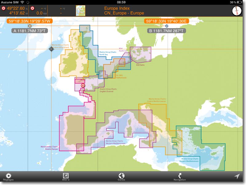
Two charts of the Channel are always provided as standard for test, and a world map shows the areas of charts region available.
Coverage has expanded significantly :
- North Sea 2012
- The Netherlands 2012
- Channel 2012
- Germany BSH North Sea 2012
- Germany BSH Baltic 2012
- West UK and Ireland 2012
- Atlantic, France and Iberia 2012
- Western Mediterranean 2012
- Central Mediterranean 2012
- Eastern Mediterranean 2012
- Eastern Caribbean (Antilles) 2012
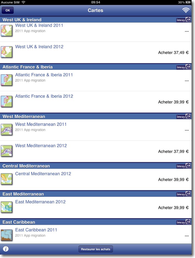
Purchases are made from the " Settings > Chart Store ”, it is better to have a WiFi connection, These are fairly large raster maps :
Other new features in this update, Import and export of waypoints and roads in GPX format, or via iTunes, or by email.
Unfortunately charts are a bit expensive for the proposed geographic coverage, if we compare it with Navionics.
—
Relative article :


