Update of the British charts catalogue CHS Canada for Weather4D Routage & Navigation and SailGrib WR by Geogarage.
- 253 updated charts
- 6 new charts added
In total, the catalogue includes 810 charts (1765 with insets)
The blog
Posted on2 comments
Update of the British charts catalogue CHS Canada for Weather4D Routage & Navigation and SailGrib WR by Geogarage.
In total, the catalogue includes 810 charts (1765 with insets)
Posted on3 comments
20 years after NMEA 2000 and more than 40 years after NMEA0183, OneNet® is the third generation NMEA standard for marine data interfacing and networking.
In development since 2010 by NMEA members (1), to be published in late 2021, the OneNet standard is based on the IP Internet Protocol (2) version 6 (IPv6) and works on the IEEE Ethernet local network 802.3. This new standard aims to combine the three NMEA data standards — OneNet, NMEA 2000, NMEA0183 — on a single local network (LAN). Read more …
Posted onOne comment
Appeared in spring 2017, the Nomad to Digital Yacht was the first, and the only one, portable AIS transponder. I carried out a detailed test the following summer, reported on this blog (¹). We feared that this excellent device would be abandoned, because it has been unavailable for several months, but not at all ! Right now it is reborn in a new and improved version : Nomad-2. Read more …
Posted on2 comments
Since taking over MacENC at the end of the year 2020, become MacENCx64 (¹), it took three painstaking years for the company NavStation LLC to finalize the implementation of a global charting. Since January 1 2024 it is now done. A long negotiation with the ENC charting distributor ChartWorld (²) has enabled the creation of a range of vector charts in ENC S-57/S-63 format (³) as in-app purchase. Read more …
Update version 1.24
Available for iOS/iPadOS / Android / Windows. Coming soon for macOS.
Warning : It is imperative to update the application. Older versions will stop working January 1st 2024.
–––
Global navigation satellite systems GNSS (Global Navigation Satellite System), have become the primary source of Positioning, Navigation and Timing (PNT1) for ships and marine operations. GNSS is also used for the automatic identification system (AIS2). Unfortunately, GNSS is recognized to be vulnerable to jamming and spoofing, intentional or not, that may result in the loss of positioning information, or, still worse, inaccurate positioning information. Read more …
Posted on3 comments
After the end of the contract which allowed iNavX to benefit from the beginning all the Navionics charts (¹), and after several unsuccessful attempts to include C-Map charts, NavX Studios LLC finally contracts with the Canadian company SiiTech Inc. to provide iNavX with a charting gradually covering the world. Read more …
Updated 2.0.87 of the application Weather4D Routage & Navigation :
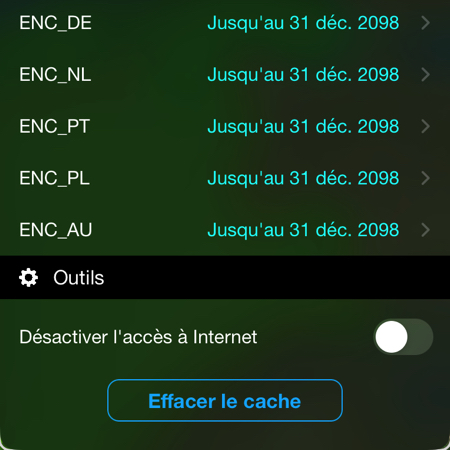
The new ENC derived cards are available for subscription at Geogarage. The ENC Germany dossier includes general maps of the entire Baltic Sea, but without the details outside the German coast.
–––
Posted onOne comment
El Niño continues to develop in tropical Pacific regions. Forecasters expect the phenomenon to continue until spring, with 75 down to 85 % likely to become an intense event. A stronger El Niño – the definition of which will follow – means that it is more likely that we will see its effects reflected in winter temperatures and rain and snow patterns around the world.
Source & screenshots : NOAA – Emily Becker freely translated. Read more …
Update of the British charts catalogue from’UKHO for Weather4D Routage & Navigation and SailGrib WR by Geogarage.
In total, the catalogue includes 958 charts (1787 with insets)
–––