 It is now effective, with the latest update powered on September 27 th, Navionics Boating app becomes Garmin Boating. The Navionics® brand is now only about charting, but for how long ? However, it would seem risky to delete such a well-known trademark ! And as users have been able to see : A new logo has been imposed to clearly identify the owner of the application. Read more …
SHOM charts catalog update at Geogarage
Catalog update SHOM charts France / DOM-TOM and dependencies by Geogarage for Weather4D Routage & Navigation and SailGrib WR
- 182 updated charts (dont 14 new editions)
The catalog includes 861 charts (1431 with insets)
–––
Galileo completes his constellation [Update]
 March, the 5 th 2024, the last two satellites launched during the 12th launch of Galileo the 28 th, were officially integrated into the Galileo constellation, thus ensuring the sustainability of all services in orbit.
Now Galileo has 25 operational satellites out of 30 satellites placed in orbit. 5 satellites being currently considered unusable for some or unavailable for others (¹). Read more …
Update User Guide Weather4D Routing & Navigation
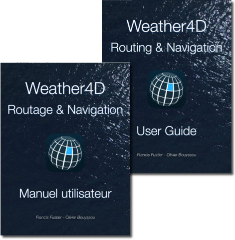 Update V.2.4 guides (FR/EN) of Weather4D Routing & Navigation.
- Fixed incorrect page numbering in the Summary.
As a reminder, updating books in Apple Books : Apple iBooks becomes “Books”
–––
Starlink Mini : a stone into the sea [Update-2]
 Since the launch of Starlink in 2020, the hardware and service offerings were particularly versatile (¹). If the first recreational boaters were able to benefit from a navigation service far superior to the official conditions of use, it seemed obvious that this somewhat chaotic launch period would eventually be regularized, and offers stabilized. Despite still a strong disparity in equipment and subscription pricing from one continent to another, or even from one country to another, we are starting to see more clearly.
This is the case for France with the arrival of Starlink Mini. [Update of 11-12 th 2024] Read more …
After the Pacific, a possible Niña Atlantic
![]() The Pacific Ocean is switching from an El Niño event at the beginning of the year 2024 to a La Niña event expected at the end of this summer. But it seems, for NOAA scientists, that a similar phenomenon is also occurring at this same time in the Atlantic Ocean (¹). Read more …
The Pacific Ocean is switching from an El Niño event at the beginning of the year 2024 to a La Niña event expected at the end of this summer. But it seems, for NOAA scientists, that a similar phenomenon is also occurring at this same time in the Atlantic Ocean (¹). Read more …
Updating IMRAY catalogs at Geogarage
Updating card catalogs Imray for the’Europe, the Mediterranean, and the Caribbean.
- 9 catalogues for a total of 1518 cards and cartridges.
(See details of updated maps in green in each catalog.)
Available for Weather4D Routage & Navigation and SailGrib WR by Geogarage.
–––
After El Niño 2023 here is La Niña 2024
The climatic phenomenon ENSO (El Niño Southern Oscillation) had experienced a new episode El Niño towards the end of spring 2023 in the tropical regions of the Pacific (¹). After reaching a peak between November and December 2023, the phenomenon began to decrease (²). During the second quarter 2024 he returned to a situation called " Neutral ”. But quickly from July a new episode La Niña started, whose climatic consequences are the opposite of the previous episode.
Source : NOAA Climate / ENSO Blog Read more …
Update of the UKHO catalog at Geogarage
Update of the British charts catalogue from’UKHO for Weather4D Routage & Navigation and SailGrib WR by Geogarage.
- 829 updated charts, dont 16 new editions
- Portugal cards have been deleted of this update. Replaced by the catalog Portugal ENC
In total the UKHO catalog includes 889 charts (1653 with insets)
–––
Updated Croatia charts (HHI) rasterized ENC
Updating charts HHI (Croatia) rasterized for Weather4D Routing & Navigation and SailGrib WR by Geogarage.
- 126 updated charts
- 5 new charts included
Out of a total of 316 charts available.
–––