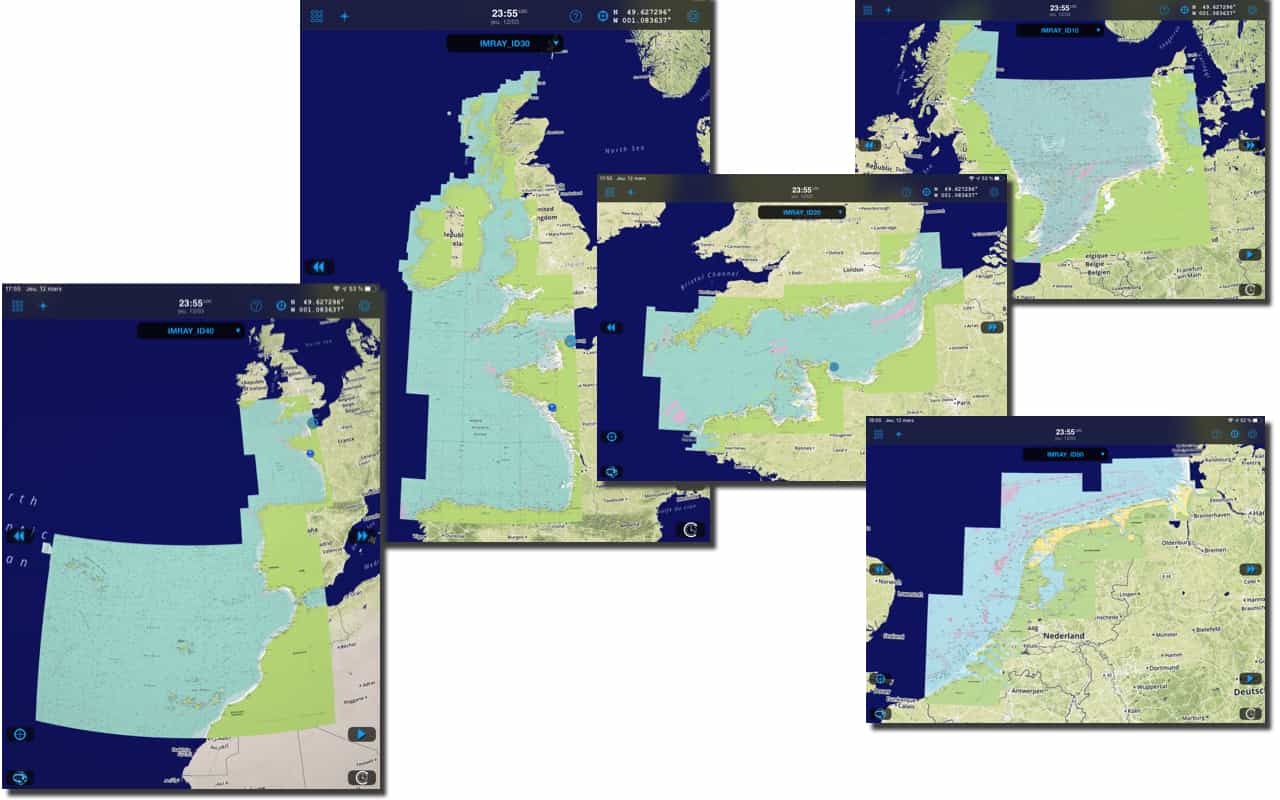
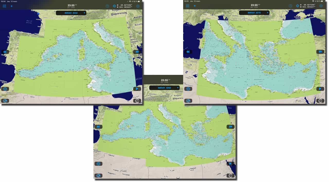
 With the delivery yesterday of the version 2.0.54, Weather4D add Imray (¹) to the Routing & Navigation, recently available in Geogarage. Five layers cover the Atlantic facade (²) , from the North Sea and Shetlands to the Canary Islands and the Azores, and one layer covers the Greater and Lesser Antilles.
But the most important are the three layers covering the western, central and eastern Mediterranean, which now provide detailed coverage from the Ionian Sea to the Aegean Sea. An excellent complement to the international SHOM layer.
Concerning Western Europe, Imray charts compete with SHOM and UKHO and may therefore only be of relative interest. Each file is priced at €72/year.
Concerning the Mediterranean, The interest is much greater, since neither the SHOM nor the UKHO provide enough detail to sail around Greece and the Aegean Sea. These charts therefore fill this geographic gap for Weather4D Routing & Navigation.
For those cruising in the Caribbean, the West Indies layer covers from Puerto Rico to Trinidad.
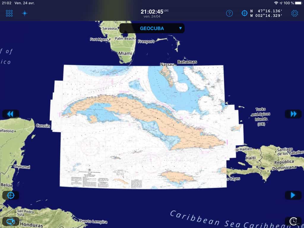
And the icing on the cake comes directly from the Servicio Hidrogafico y Geodesico de la República de Cuba which completes the Antillean arc with a very well made nautical chart.
What happiness !
———
(¹) Imray charts are coming on iPhone/iPad
(²) Detail of Imray maps at Geogarage
———


Bonjour,
I just bought the IMRAY Eastern Mediterranean card (IMRAY D_70) and I downloaded areas with the "Ports and Anchorages" level of detail.
But when I zoom in, I don't get any details.
Can you tell me what the problem is ? And how to fix it ?
A big thank you in advance.
JM.
The right case for Croatia is the D_60 the Central Mediterranean
Bonjour,
how to update Weather4D
how can we see the loaded version on iPad and iPhone ?
Merci
Jérôme
I ask myself the same question; how to know the version of Weather4D on your iPad?
In iPad/iPhone> General settings> Weather4D storage displays the version number.
I now understand that the version was needed 2.0.54 to finish loading these cards that I had seen on the app 53 for weeks. Now downloading goes beyond 87% that blocked. The maps loaded for testing on the Channel region are really perfect. It's very good news that this Imray catalog. Let's hope one day for maps covering the Baltic and I'll be served for all the places I wander. This is another area that forces me to keep Inavx.
Bonjour,
Good news because I hope that the level of pixelation (definition in plain text) of the Imray EN Raster proposed by Geogarage will be much better than the UKHO Admiralty that I bought a few months ago but frankly on the edge of unusable especially compared to the SHOM versions…
Definitely planning to get one of these for Western Europe when lockdown ends!