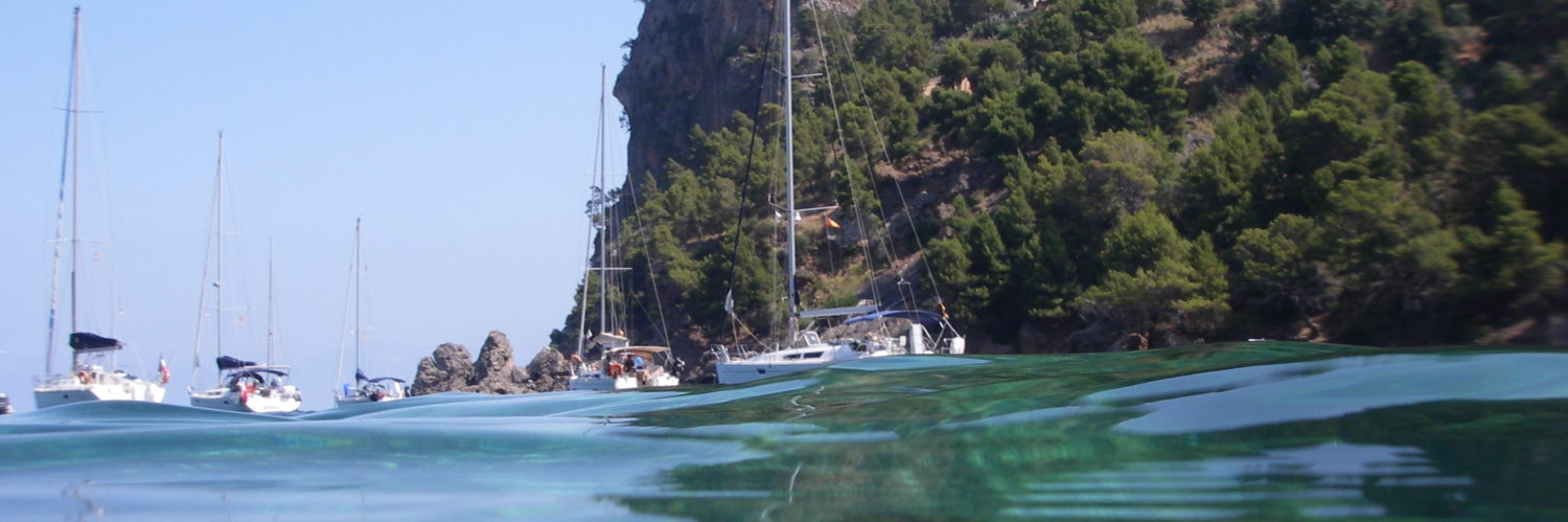
Things are moving on the iOS app publisher side. Updates follow one another and new functions appear. A quick tour of the new virtual products, because I haven't tested anything at sea yet. It will come, Don't doubt it !
Navionics Marine: Europe
After the Nav Module, appeared almost a year ago, and which I echoed last September (¹), Navionics has added two new paid options to its application : Advanced Map Option and Autorouting, at the same price as the first, or a little less than 5 € each. By the way, it should be noted that the Europe zone has lost the Atlantic islands : Canaria, Madeira and Azores, for reasons of hydrographic fees. This is the app Navy: Asia&Africa who inherits it.
Advanced Map Option
 Allows you to customize chart display according to user's needs. Viewing a low depth area, of a fishing zone between two depth levels, display the nature of the ground (detailed textual information available with a tap on an area), card zero level adjustment (?). Boaters to judge the usefulness of these options seem rather in coastal navigation, fishing and small coastal shipping. Which nevertheless represents the vast majority of users of this application.
Autorouting
 A clever option to automatically calculate the points of passage bypassing a point or obstruction between the starting point and an ending point. Warning, this is not routing. Simply avoidance of hazards based on the boat settings provided in the app settings : draft, vertical clearance and beam. The result should be used with caution :
 iSailor

AIS support
Since the version 1.5.2, iSailor supports NMEA data from an AIS receiver or transponder via TCP/IP protocol. As with iNavX, just have to connect the device to a wireless multiplexer or AIS provided with a wireless transmission (²) in order to display targets on the chart, location and course of the vessel (COG/SOG) provided by a transponder (Class B only). This option is sold 9 € in-app purchase.

I will test this function next weekend in Hyères on the Lagoon 38 and I will add a screenshot to this post. A new “Tips” setting has been added to explain in a few images the tips for handling this application. This is welcome because user help was really missing.
Imray
The publisher also added NMEA data support, but through a paid application from the designer (I will dress) : Boat instruments sold 6 €. This application allows the display on Imray cards of NMEA data and AIS targets received by a device connected via WiFi (Multiplexer or other).

BlueChart
Garmin has made several improvements to its application. But this mainly goes in the direction of its integration into its traditional product ranges.
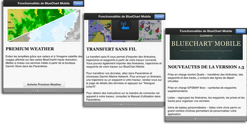 Premium Weather

In addition to displaying wind data, supplied as standard, the Premium Weather option allows you to display the latest cloud cover and precipitation radar satellite images on maps. For 3,59 €, I would have preferred the GRIB pressure and precipitation data, much more useful added to the wind.
Wireless transfer
The application can communicate via Bluetooth and WiFi. Essentially with the WiFi access point sold by Garmin to exchange waypoints, roads and tracks with its range of trackers. The last version 1.3 supports serial GPSMAP devices 8000 and the brand new Quatix watch designed by the brand. If you haven't heard of Quatix yet, you are returning from a trip to Patagonia ! If the product keeps its promises, it will undoubtedly be the next addiction of the bo-bo sailors who roam our pontoons. And for once, ce n’est pas Apple qui l’a faite 😉
—
(¹) Les nouveautés de la rentrée
(²) Voir les billets sur les multiplexeurs and les appareils AIS
(?) Je m’interroge vraiment sur cette fonction qui recalcule toutes les sondes, ce qui peut comporter des risques certains pour la sécurité.
—
Merci de ces news. Pour avoir acheté la nouvelle version hd pour iPad 3 wifi de navionics j’ai maintenant un pb de connexion avec le GPS blue tooth gns5870 qui n’est plus reconnu par l’appli. bien qu’appairé correctement avec l’iPad ! Je ne trouve pas de solution . Rebooté iPad et GPS et appli rien y fait. Je suis preneur d’une idée merci