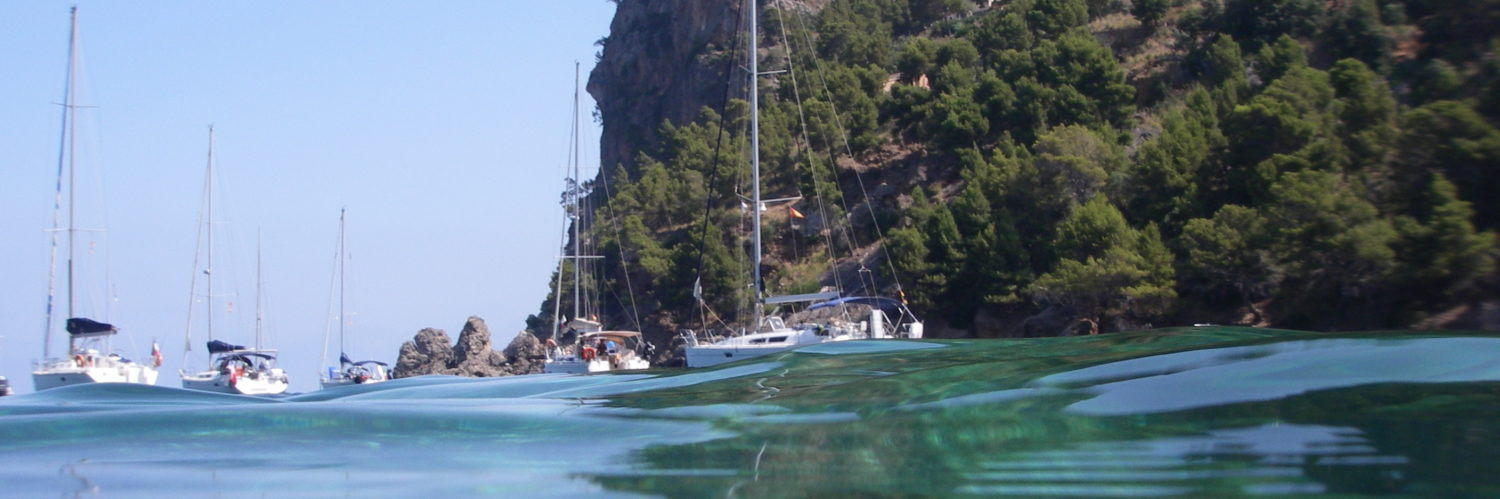
Conveying a boat from Corsica to Normandy in May, it's a bit like going around the world upside down from East to West, but more modest. Two thousands nautical miles on the water against winds and tides, four and a half weeks at sea, with thirteen days forced stopover awaiting for good weather conditions, three hundreds and fifty hours of engine to support the sails, 1000 litres of diesel oil, multiple Corsican, Spanish and Portuguese wines bibs, to calm our nerves, A few packs of water to quench thirst, and hundreds of hours of testing the new features in development of… Weather4D Routage & Navigation !

Indeed, This long journey was the occasion for Olivier Bouyssou to test alive – over water, I would say - the functions that will be soon delivered in future updates of its last application. Cool-headed developer, day and night, he responded to the comments and criticisms from the crew as it installed the "build" on our iPad, which allowed him to advance effectively in his developments, before having to leave the ship in La Coruña. Accompanied a part of the trip by Dominique Gauthier, CEO of ItabNav.fr and super DIY somehow, and Michel Frank, eminent representative of the Swiss Cruising Club, we have formed a studious team of hard testers !


You can see the configurable instrument panel in the screenshots below, direct weather forecast requests with Iridium GO!, or even the track display, among other upcoming new features…


And many other more things under the hood, but… we'll have to wait a little. The developer refine !
———
Beautiful navigation indeed. I understand why Roseanor was not entirely able to navigate for the on -board training at the end of June. This is only part given. See you soon Francis. If you sail in the round and/or the side of the solent this summer, let me know!
This app is very expensive : 50€. The carto system is complex with a remote site, et limitant les cartes embarquées. Il faut vraiment qu’elle soit très au-dessus du lot par rapport à la concurrence qui propose des apps souvent gratuite et des cartographies achetées en in-app : iSailor, Navionics charts, imray….
Votre blog fait l’unanimité. Peut-être qu’une comparaison objective des apps serait la bienvenue, sous forme de matrice ? Pour beaucoup, la simplicité des apps Navionics est suffisante malgré leur politique de prix à géométrie variable… In addition, l’app de l’imray propose déjà depuis longtemps la carto du shom. En mode in-app, sans passer par géo garage, sans tuiles ou cache…. 😉
iNavX est au même prix avec également une carto par site externe (ce qui permet d’échapper à la redevance de 30% taken by Apple on all integrated options sales). "Free" applications like Isailor with many essential paid functions optional or subscription are often more expensive. See the comparison in the second part of this article. Do not be abused : Nothing is never free.
Super
Merci
Look forward to testing it all at sea
SUPER! and beautiful nav, Also a big hurry to test it all at sea
Beautiful nav!