[Update 30 th 2018] Warning : MacENC application is no longer supported by its developers. It no longer reads raster charts and Navionics charts are no longer available. Application is discontinued to date.
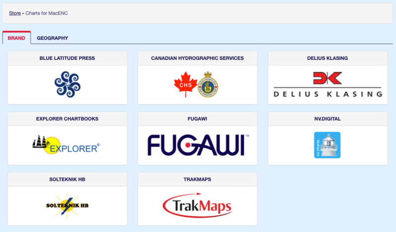
Since the upgrade of Navionics Gold to Navionics Plus (¹), Navionics supply disappeared from Fugawi / Charts folder for MacENC. Thinking of a temporary disappearance, I finally asked the Fugawi support who confirmed (between the lines) permanent deletion :
We have removed all the Navionics Gold Titles. Navionics no longer support these charts and updates have not been available since January. We feel like even though we did give a notice that these were outdated charts, it was unfair for the consumer to provide them with outdated maps.
It remains to MacENC only raster charts, mainly NV Charts for Europe, and the catalog of official ENC S57 charts, the implementation of which I discussed in April 2010 (²).
This is very bad news for MacENC users, whose access to Navionics global charting was an important asset. Alas, Garmin has certainly been there…

–––
(¹) Navionics Sonar Charts available for iNavX [Update-2]
(²) Activate charts from Fugawi/Charts for GPSNavX/MacENC
–––


I started the transfer ..
an iPad pro with GPS ….
just read your posts and tutorials to understand which cards to put .. and so the choice of Navionic will pose the same problem in the short term ?
And why not a training course in the near future ..
See you again , then …
François
Ah , Well, damn.. My Mac Mini ( a former member of 2009 with allim exterior..)..still works without Pb I'll have to throw everything away and even change my multiplexer to have one in WiFi ..
Good, en plus il va falloir que je me coltine tous les tutoriels de Francis pour adapter et comprendre mon futur iPad, 4D et les cartes … Pfff!
LOL
j’aime plus ce monde où tout ce qui a 10 ans est préhistorique …
c’est définitif cet abandon ?
regards
François
Je crains bien que oui 🙁
François, il te reste deux solutions : soit tu viens faire une petite formation chez moi (ce sera avec plaisir), ce qui maintiendra tes neurones en bonne activité, soit tu reprends les vieux outils de nos débuts… About alignments and sextant
Friendly
Quel est la meilleure APP de navigation sur iPad et peut-elle récupérer les waypoints utilisés sur Mac ENC?
Sans hésitation Weather4D Routage & Navigation.
Il suffit d’exporter depuis MacENC vos waypoints, routes et traces au format GPX ou KML et de les importer dans Weather4D R&N.
Hello Francis,
FYI
Recently I upgraded to MacOS 10.14. MacENC will no longer load raster charts. ENC charts seem unaffected. I have contacted Jim at MacENC support and they are aware of the problem as is Jon Longworth the developer of BoatLogix Go.
Does this mean, one can no longer use MacENC?
As I wrote, other charting is available at Fugawi catalog, as raster NV Charts. One can use ENC S-57 vector charts. But all are not so easy to use.
This has nothing to do with Mac or iPad. It is impossible to get acces to vector navigation charts for a software developer. Navionics offers only an API for their application not for charts.
Sorry, Oliver, iNavX uses for a while Navionics Charts from Fugawi platform, on iPad and Android devices, with .nv2 files. No need an API. But for how many time? That's the question.
is there still an interest in using MacENC and what is the alternative ?
Yours sincerely
The question that arises is : what is the point today of browsing with a Mac, while you have ten times better with an iPad for much less ?