
Boaters and water sports enthusiasts now have two applications helping them to better understand and protect the increasingly fragile marine environment.. Nav&Co is an initiative 100% public composed of SHOM, of the OFB (French Office for Biodiversity), of the State Secretariat for the Sea and DGAMPA, with co-financing from the European Union. DONIA (*) is a private initiative of the company Andromeda Oceanology which received the support of the Rhône-Mediterranean-Corsica Water Agency. If DONIA is dedicated mainly to the western Mediterranean basin, Nav&Co currently covers all metropolitan France, Corsica and Guadeloupe.
Nav&Co
Three state entities have joined forces to provide you with a fun and educational companion that allows you to follow your path on the charts of Shom, for assistance in reading maritime signs and signals, learn about the regulations and discover marine biodiversity. Two modes of use Nav&Co are accessible : Navigation and Discover. ”
This is how the application looks Nav&Co (Pronounce "naveco" and not nav-and-co) on Apple Store and Google Play, Available since February 2023.
As DONIA, Nav&Co aims to raise awareness among boaters about the protection of the marine environment, providing detailed information on marine protected areas, wildlife, the flora and the seabed, and also by displaying vigilance zones for anchorages. The application offers two display modes on an exclusive background of SHOM nautical charts : The " Discover " and the " Navigation ”.
Discover
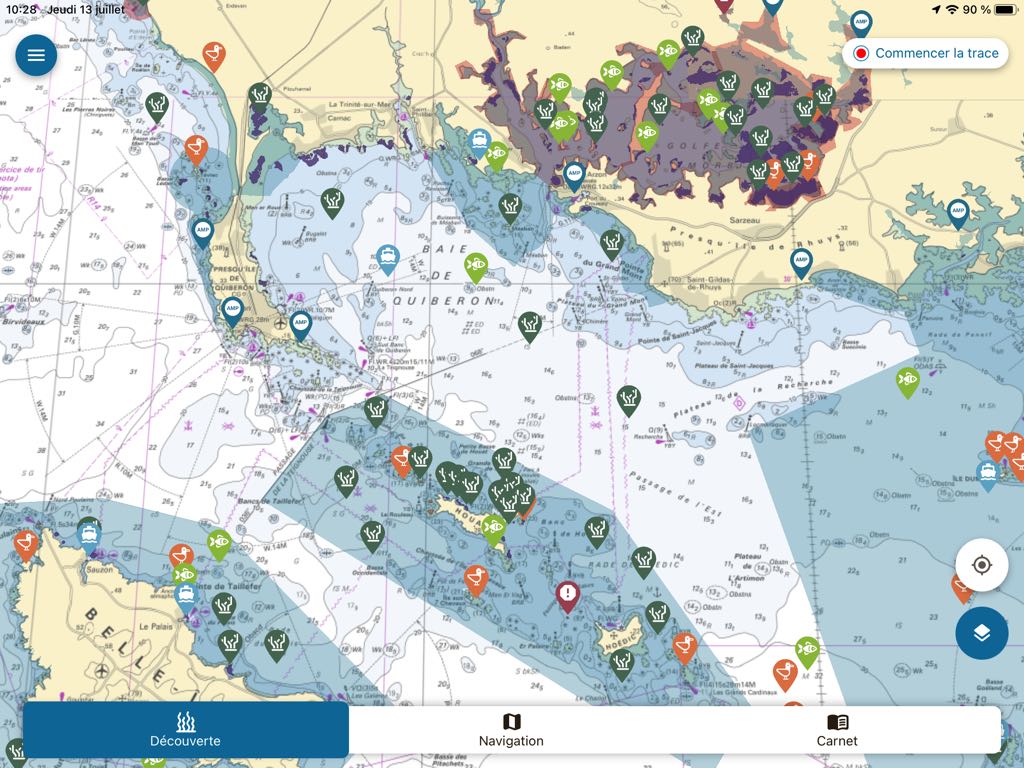
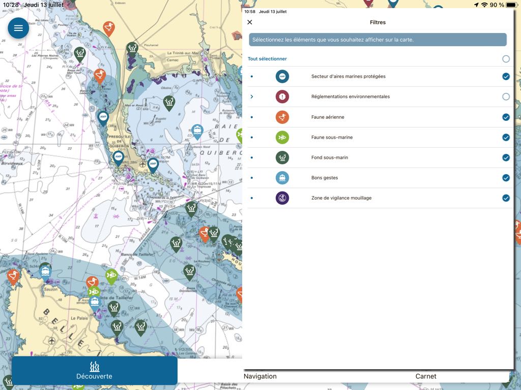
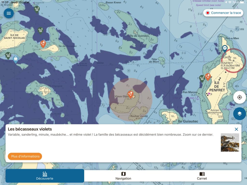
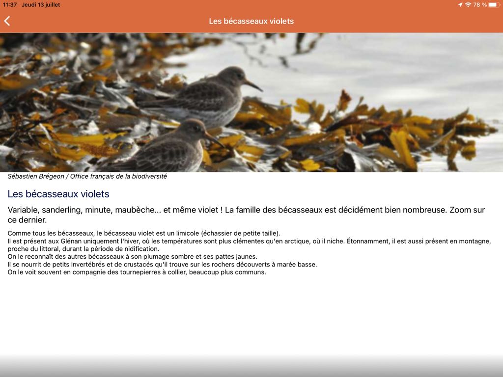
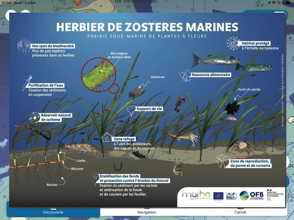
By selecting the tab Discover, You can choose from a wide range of data to display, which can be accessed by pictograms or by identified areas. A tap on each pictogram opens up a summary of information and accesses more detailed information :
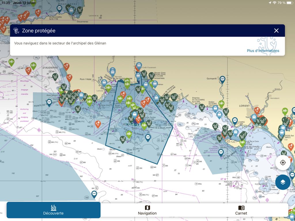
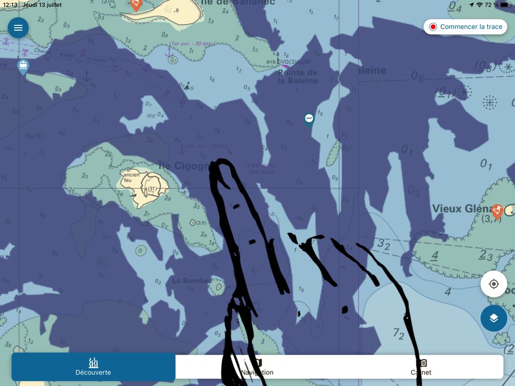
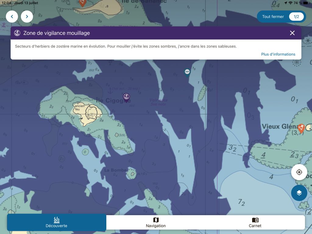
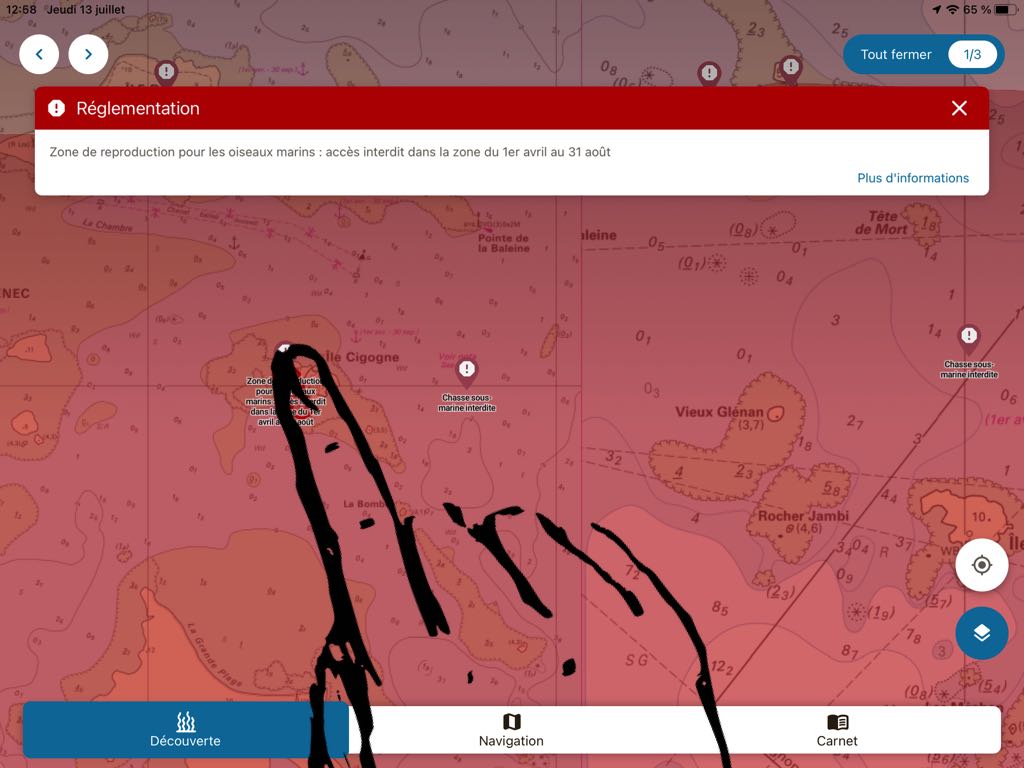
Marine protected areas and vigilance zones for anchorages are identified by specific colours. A tap on one of these areas also opens up contextual information :
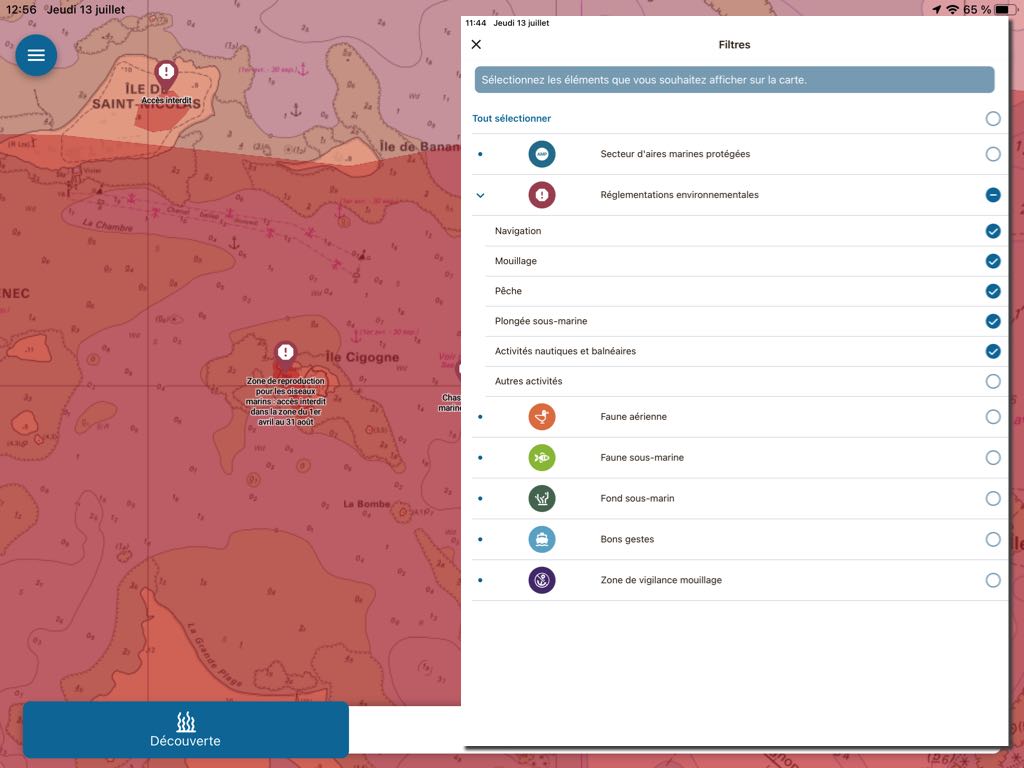
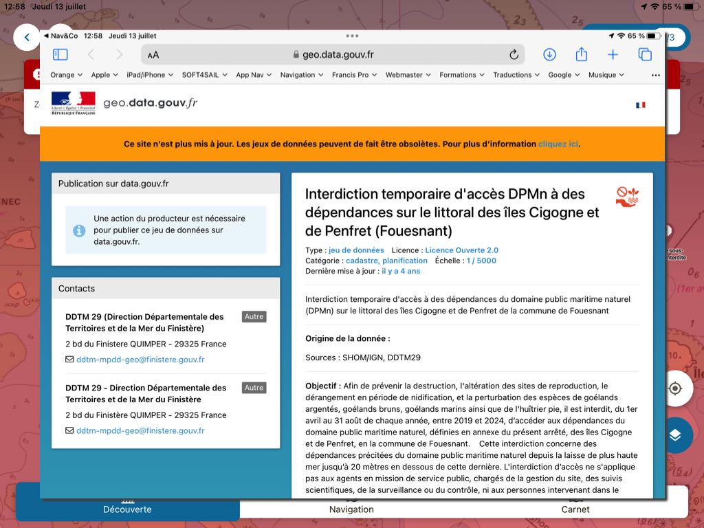
Finally, you can also access all environmental regulations concerning nautical practices :
Navigation
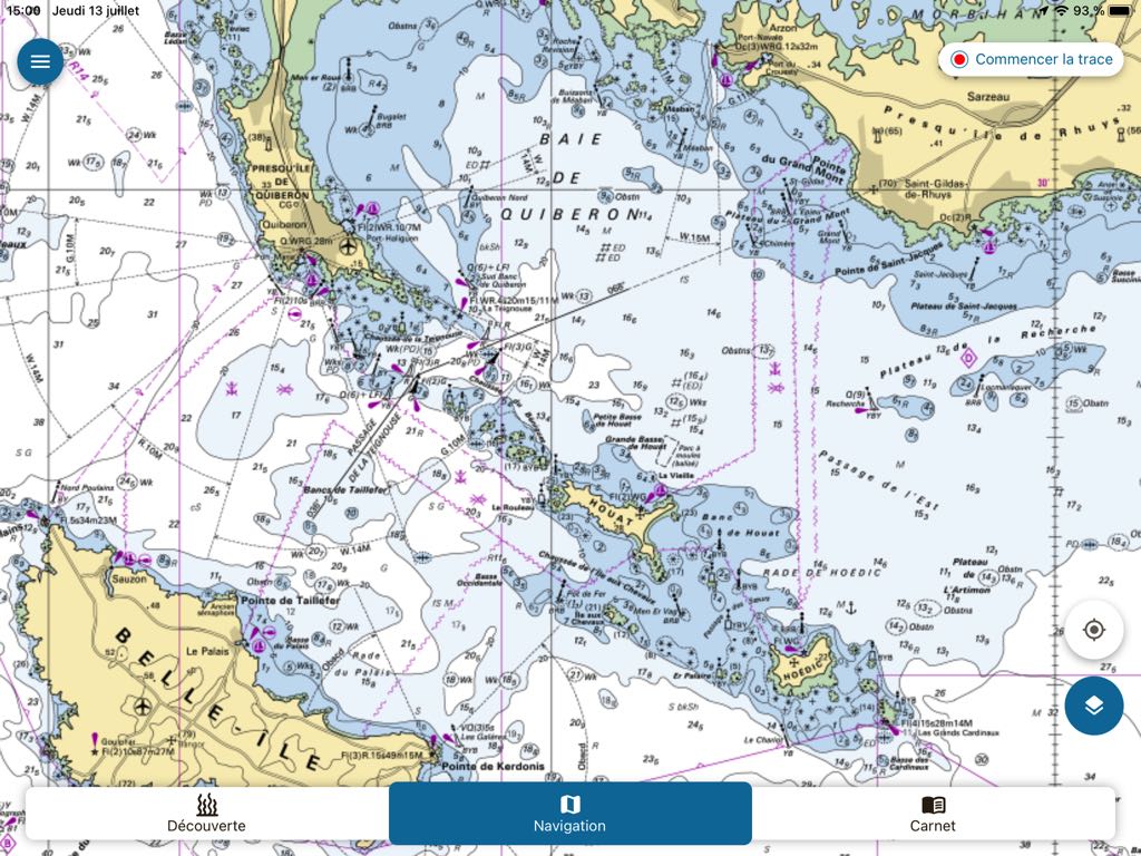
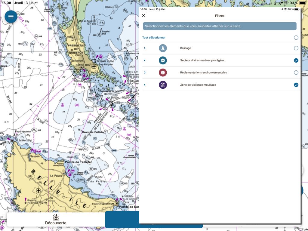
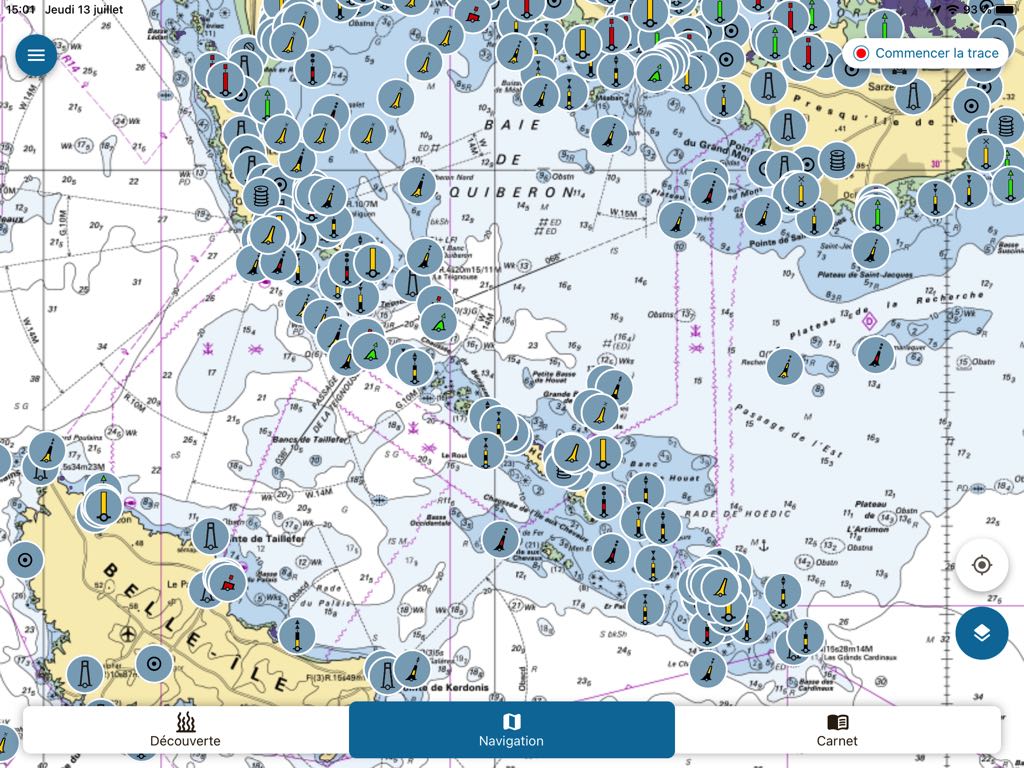
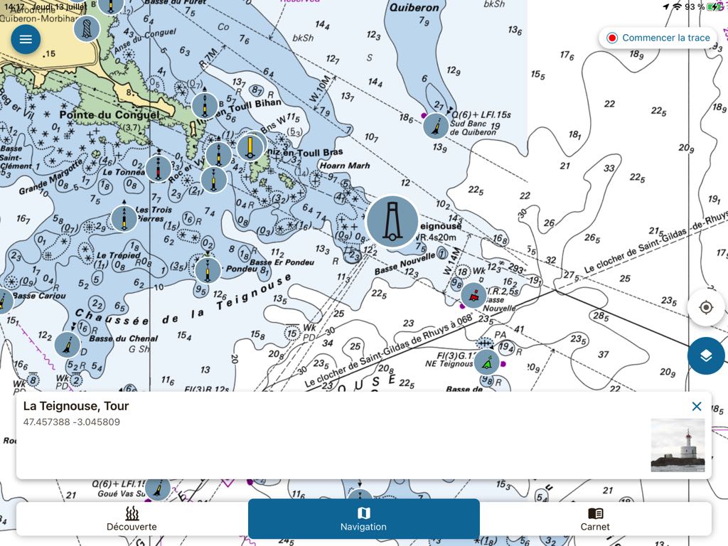
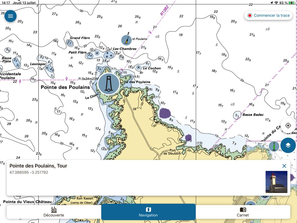
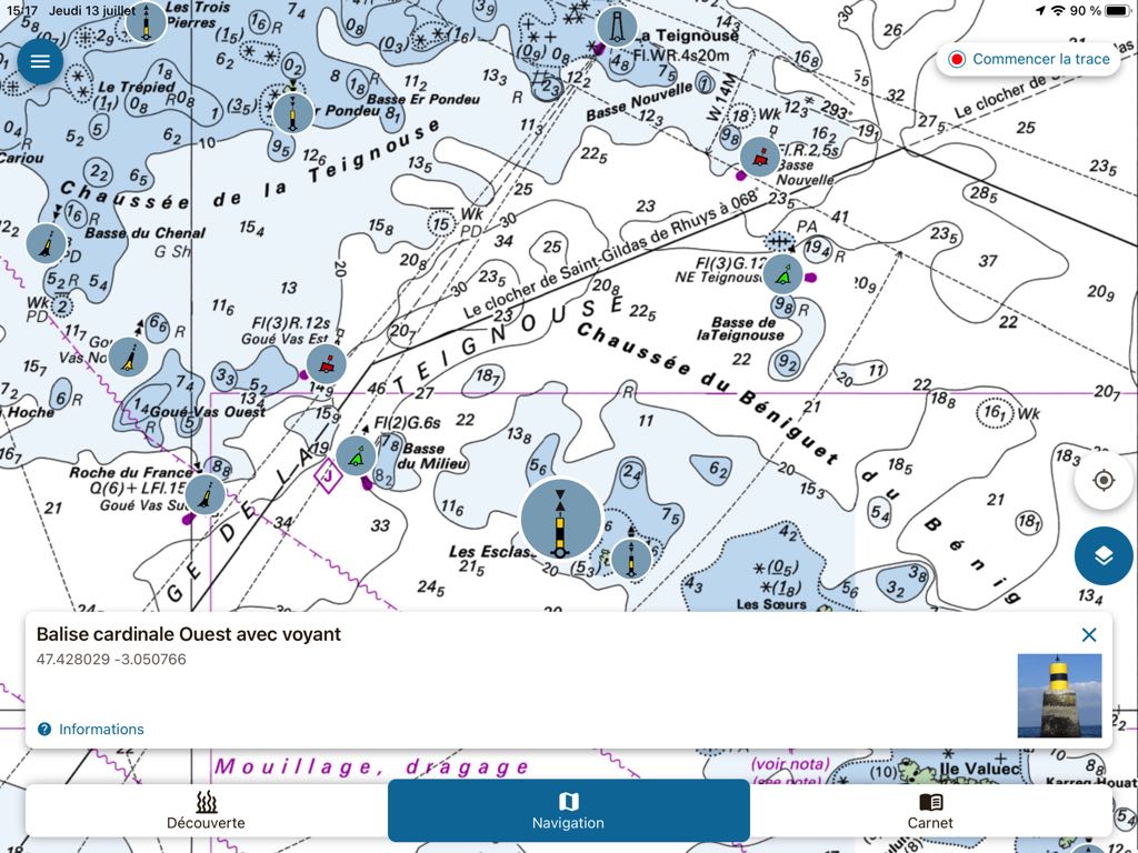
By selecting the tab Navigation, The choice of data to display is limited to beacons, marine protected areas, environmental regulations and sensitive anchorages. Beacons are represented as realistic color thumbnails overlayed on the SHOM base chart. A tap on one of them opens a description window including a color photo of the beacon : buoy, tower, lighthouse or landmark.
The only navigation function available is the ability to record a course from the GPS location of the boat by tapping on the "Start Track" button. Speed and distance traveled are displayed. The routes will be saved in the page accessible by the third tab Notebook. This function is complemented by access to the SHOM tide directory and the link to the Météo-France coastal weather forecast page (Internet connection required).
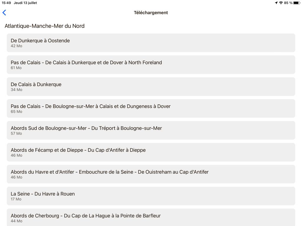
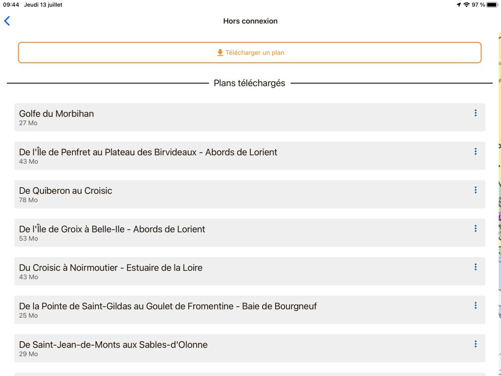
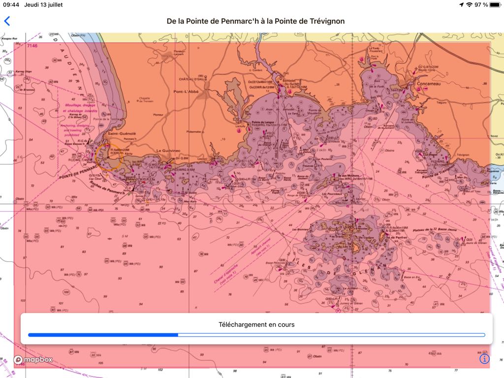
The real surprise comes from SHOM raster charting, available free of charge for all areas covered, and can be downloaded at will – and updated – for offline use. The display at all levels of scale is smooth and the downloads in small predefined areas are very fast.
When we know the pricing of the licences to be paid to SHOM by private actors wishing to use these charts for maritime navigation applications, and even if it is perfectly commendable that the public service offers free of charge to the water sports activities enthusiasts – with our taxes – Nav&Co with an educational concern for the preservation of the maritime space, why not also cartography in the interests of maritime safety ? DONIA must use a subscription to offer SHOM charts and amortize its license cost, there is a distortion of competition here which concerns me.
To conclude
Nav&Co , as DONIA, fulfills its pedagogical function perfectly. The user interface is stripped down, clear and pleasant to use. The graphics are neat, Information and iconography are rich and many links refer to relevant websites to deepen our knowledge (and also those of our children). The navigation functions are reduced to a minimum and that's enough in my opinion. We have a sufficient selection of specialized navigation applications at our disposal.
Two regrets, however : it's a shame that neither of these two apps supports the "SplitView" feature on iPad, which would allow them to be both displayed in parallel with certain navigation applications such as Weather4D for example, and Nav&Co does not have an English version. Damned !
–––
(*) See :
For eco-responsible pleasure : Part 1 – DONIA
–––


You're right Francis about the distortion of competition between these 2 Apps. But are they really equivalent in terms of services? ? I haven't had a chance to test and compare them yet. But I will.
That being so, I already pay for my annual subscription to SHOM charts through GeoGarage and I do so gladly because I appreciate the service they offer and their responsiveness (thank you Peio).
DD
Hello Francis,
It's a superb explanation as bare as Nav's interface&Co so easy to understand.
For free SHOM cards, it's understandable SHOM doesn't have to buy the licenses to use its own charts. Exactly like in the website https://data.shom.fr/
Nav&Co is a free app for viewing and not browsing. The road layout allows the user to (and developers) check where the boats pass and where they anchor.
Thank you for sharing this information, because there are very few users of these apps.
Note: there is a set of Nav posters&Co that you just have to ask by email. But …Harbour master's offices and sailing clubs are reluctant to display them. For example, I had a refusal from the Crouesty.
Francis