
![]() A few days before going on a long trip from Toulon to Noumea, My friend Christophe Mahé introduced me to this application that I had gone unnoticed. I sincerely thank him ! As it is never too late to do, some exchanges with the developer helped me install this application on my iPad with all its options. SEAiq was posted on the AppStore in April 2012. Its developer, Mark Hayden, is a Californian computer engineer living a good part of his time with his family or alone around the world aboard his Super Maramu, happy man.
A few days before going on a long trip from Toulon to Noumea, My friend Christophe Mahé introduced me to this application that I had gone unnoticed. I sincerely thank him ! As it is never too late to do, some exchanges with the developer helped me install this application on my iPad with all its options. SEAiq was posted on the AppStore in April 2012. Its developer, Mark Hayden, is a Californian computer engineer living a good part of his time with his family or alone around the world aboard his Super Maramu, happy man.
SEAiq Open (¹) is the only application on iPad / iPhone for using vector charts ENC IHO official standards S-52, S-57 up to S-63. With information database included in these charts, and update systems , SEAiq transforms the iPad into a true ECDIS (²) professionnal.
SEAiq is available in three versions :
- SEAiq USA up to SEAiq Free : reserved for American boaters can automatically download the RNC and ENC charts from NOAA (²) that, it bears repeating, are universally free. Free SEAiq can test SEAiq USA version before buying, and unlock all features through purchase in-app (9 €).
- SEAiq Open : the standard version supporting ENC charts already mentioned, Inland ENC, CM93, raster charts BSB / KAP (MapTech) and with all the premium features. We can test this version for free for a week (can reinstall repeatedly) before unlocking the Premium option by purchasing in-app (18 €).
- SEAiq Pilot : Open version with advanced functions for coastal, harbour and river pilots ($200).

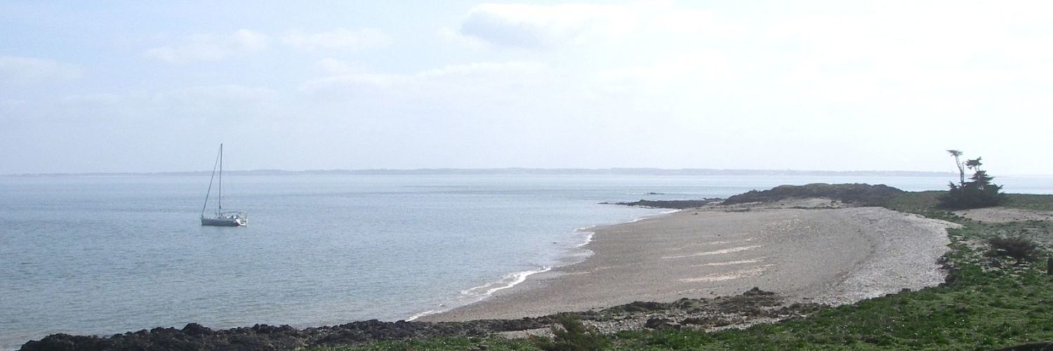
S63 charts downloaded from the website Chartworld
Usability
Do not dream, we are here with an application whose sole purpose is to be functional. The interface is sadly professional, but available functions via gestures of the iPad are complete : tap to get Latitude / Longitude, Bearing and distance of a place, Double-tap the shortcut menu, sliding two fingers to zoom in / out- and chart rotation, etc,. Simple and effective. A top banner or right side drawer are alternate to display navigation and NMEA data (if connected). No transparency effects or pop-up window, but a simple display and three color levels for the display modes day, twilight or night.

A top banner or a side drawer to display navigation data.
In practice, however, a difficulty arises : lack of display responsiveness. S-63 ENC charting is encrypted and application has diificulty in display charts when zooming or drag the chart. It often takes several seconds before the display be refreshed. It is inherent in this charting format. In return, processing of the data displayed on the charts (texts, objects, information) has been very carefully from the developer and provides a close reading of raster charting. You can see from the screenshots above.
Although the application is in English only, help texts provided extremely detailed and can take over the operation, starting with the purchase and downloading chats is a true way of the cross (Navionics charts purchase on X-Traverse website is a breeze compared !).

Two types of S-63 and S-57 charts installed after purchase and download from Chartworld. Not so simple…
Settings
Both say immediately : settings are overstaffed ! I counted nearly 80 on the main display, units, Card types, Vessel, management waypoints, routes and tracks files, measuring tools, NMEA data, AIS targets, import / export, and many more, nothing seems forgotten.
Functions
Once again iit is difficult to find fault with the application, As for the provided features for the wealth of settings that affect. In addition to the basic functions for the management of waypoints, routes and tracks files, SEAiq provides :
- Full access to data associated with vector charts.

Access to data in successive windows
- Display VRM and EBL (³) on the chart as a radar by simple fingers gesture (requires a small learning).

VRM : A sliding of distance circle on the ship location locks VRM on itself. You can adjust the diameter by sliding the finger on the circle or double-tap opens a settings box.

EBL : Dragging the starting point on the ship's position locks on it. You can then unlock the same way.
- Operating GPS iPad / iPhone or external GPS NMEA (if connected)
- Client / Server NMEA function : display data received (client mode) and share data with other devices (server).
- Using the GPS position sharing connection from another device (iPhone / iPad) if only iPad WiFi.
- AIS target display realistic representation, prediction of route and rate-of-turn. Alarm occurrence of a new target. Display data from the target, with CPA/TCPA.
- Transfer waypoints via TCP to a plotter.
- Automatic display of weather data from NOAA or manual request by email (Wind and Pressure).
- Import and export of routes in GPX format.

We can share the routes with Weather4D PRO for the routing function.
- Support community database ActiveCaptain.

The information is displayed ActiveCaptain point to access all the data from the collaborative network. Awesome.
- Access to the global tides app AyeTides (as iNavX) to display tide stations nearby.
- Alarm adjustable dampening.
And I certainly have forgotten something.
Summary
As you can see from this quick lookup SEAiq is a rather reserved application for leasure boaters, professional or experienced, who wish to have a formal charting can be updated. For those sailing in the Pacific Ocean, the application allows the passage of the International Date Line, that does not iNavX with Navionics. It is such an application we will find on the navigation room of merchant ships. No wonder an advanced version is offered to professional pilots.
However, we must be aware that the ENC does not cover in detail all parts of the world, and comparisons made in several areas of the globe with Navionics show a lack of details as you move away from the main routes and areas frequented by merchant shipping (⁴). In addition, to cover a large trip, le nombre de « cellules » à acheter pour disposer des cartes générales aux cartes les plus détaillées peut représenter un budget conséquent. The first thing to do, before starting with such an application, is to visit the site ChartWorld and explore the extensive catalog of ENC and prices.
Having, SEAiq is for me a happy discovery, a big congratulations to the designer.
—
(¹) La terminaison « iq » pour « intelligence quotient », par exemple « intelligence à la mer ».
(²) The definitions of all these acronyms are in the Glossary.
(³) VRM (Variable Range Marker) draws a distance circle around the boat (or an object) to assess the distance of all objects falling within this circle. EBL (Electronic Bearing Line) mobile line to know course and distance between two points or between the boat and a point on the chart.
(⁴) See my post The difficult choice of electronic charting
—
Francis,
I have reviewed the SEAiq app a couple of time over the past few years. I have followed the apps progress since the beginning. It is a great app and ranked number 2 on my Top 10 list of marine charting apps. It is very full featured and functional. Checkout my reviews at the links below.
http://i-marineapps.blogspot.com/2012/04/seaiq-intelligent-vector-chart-plotter.html
http://i-marineapps.blogspot.com/2013/04/seaiq-25-revision.html
The SEAiq apps had a price increase as of November 1.
SEAiq Pilot: US$249.99
SEAiq Open: US$39.99
SEAiq Free: US$24.99
SEAiq USA: US$24.99
Hope life is treating you well.
Mark
Thanks, Mark, for your comment and pricing list info. 🙂
Hello Francis
Seaiq brief essay on an iPad 3 de 32Mo Gps WiFi, tried S57 cards 2011 and CM 93 rev 2009.
IPAD train with every order, move , zoom, etc, , the same options with minimum.
Forget it !
Cordially
René
As I explained in the article, S-57/S-63 the cards are encrypted and require a first decryption phase which slows their display. Once cached, their faster display and responsiveness improved implementation. Your sentence is exaggerated : SEAiq has many followers among business users. But it is certain that it is not as fast as iNavX with Navionics.
And obviously subscriptions must be still valid, otherwise, it is grated.
Hello Francis,
I have got a question. Is ist possible with this app to transfer chartworld charts, which are stored on my MacBook for usage on the ipad? And if yes, what is the procedureß Thank you for the answer.
ChartWorld wrote:
Please find attached the chart permit file(s) for your registered ECS/ECDIS installation ‘Aoura’. With the permits you will get access to reissued charts and new releases of charts you have ordered or licensed. In case that ‘n’ different Chart Display Systems (ECS/ECDIS) are used, ‘n’ different chart permit files will be provided.
In « My Installations » form you can provide a second ‘BackUp’ user permit. Actually you can use that for another display system, I.E. MacENC (My first installation was « Other System » for my iPad). You have to download then the keys files to install and unzip on the second device, before to download charts folders you purchased.
Hello Francis,
Damned, I realize that I used for a year now SEAiq ! And I had not reported. Handy, especially since it allows you to use the CM93. However, it is a bit slow on iPad1.
FYI not taken into account by the International Date Line iNavX is really painful now that we are in Tonga.
Good wind
Alain
Cher Francis, I take on a bit parallel : that developments in tablet !
I have come to regret my purchase MacENC (even if it makes me so service). Further developments of the software ? Thank you again for this great blog
As always with Francis, briefly accurate and efficient analysis. For my part, so I installed the application with the essential cards that mark my route Toulon Noumea, et je ne manquerai pas de transmettre à Francis les copies d’écran « in situ ». Just one last point may be on ActiveCaptain, Do not hesitate to sign up and share your experiences. More the merrier … Thank you Francis