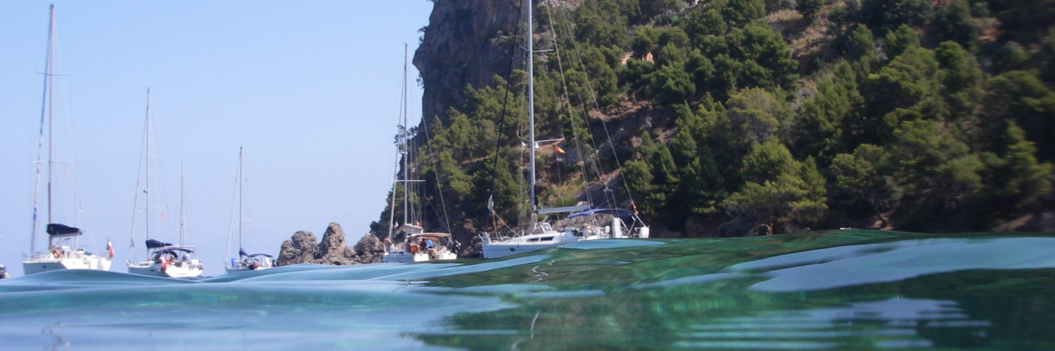
Update of the British charts catalogue from UKHO for Weather4D Routage & Navigation and SailGrib WR by Geogarage.
- 828 updated charts, dont 15 new editions
- 1 Map deleted
In total the UKHO catalog includes 888 charts (1646 with insets)
–––
The blog
Update of the British charts catalogue from UKHO for Weather4D Routage & Navigation and SailGrib WR by Geogarage.
In total the UKHO catalog includes 888 charts (1646 with insets)
–––
![]() 2025 marks the 100 years of the broadcast of marine weather forecasts The Shipping Forecast on BBC Radio 4. This emblematic transmission, produced by the UK Met Office on behalf of MCA_media, continues to be a vital safety service for mariners along our coasts.
2025 marks the 100 years of the broadcast of marine weather forecasts The Shipping Forecast on BBC Radio 4. This emblematic transmission, produced by the UK Met Office on behalf of MCA_media, continues to be a vital safety service for mariners along our coasts.
I had written an article at the beginning 2010 (¹) on the gradual disappearance of radio weather forecasts in France, and praised the consistency of the BBC bulletin. Fifteen years later, the marine weather forecast is still broadcast on BBC Radio 4 Long Waves at the same unchanging times. Hats off ! Read more …
Earth's magnetic north pole is rapidly moving away from the Canadian Arctic towards Siberia. NCEI scientists (¹) updated the global magnetic model (WMM) 2025.

The position of the geomagnetic North Pole is 80.8°N in latitude and 138.6° E in longitude
Replacing the Raster Map Catalog with the NHS ENC charts by Geogarage rasterized for Weather4D Routage & Navigation and SailGrib WR.
The catalog includes 107 tiled raster maps from ENCs.
In addition, The model IFS increase up to 15 days and is augmented by the " Gusts ”
Addition of the Argentina charting available at Geogarage.
–––
Catalog update of raster maps from the NLHO for the Netherlands by Geogarage for Weather4D Routage & Navigation and SailGrib WR. There are also maps of the managed Caribbean islands by NLHO.
The catalog includes 136 tiled raster maps from ENCs.
–––
After more than 200 years spent guiding sailors, Imray will begin to gradually cease its nautical chart publishing activities, thus marking the end of an era. This difficult decision reflects the shift to digital navigation, But we are not leaving.
Card production and support, including Imray's Notices to Mariners, will continue until the 2025. Afterlife, No new editions will be published. ”
 Two years after its launch for the Route du Rhum 2022, the cross-platform routing application dedicated to gaming Virtual Regatta Offshore has been the subject of an essential update in the run-up to the Vendée Globe. It has been available since September 29 th (¹), in order to support the latest Virtual Regatta 7.0. Read more …
![]() With the latest version 5.6.35 from February the 25 th last September, iNavX integrates Imray offered by its supplier SiiTech (¹). NavX Studios does not hesitate to announce in its communication :
With the latest version 5.6.35 from February the 25 th last September, iNavX integrates Imray offered by its supplier SiiTech (¹). NavX Studios does not hesitate to announce in its communication :
As the leading publisher of nautical information for leisure sailors, Imray joins iNavX, making us the first mobile navigation platform to offer and support these trusted charts..”

© Maritime Museum of Tatihou Island 2005
No, these are not the catastrophic rantings of an inveterate collapsologist, but a very serious study reported by the climatologist Stefan Rahmstorf. I give here a French and freely adapted transcription.
The warm currents that reach Europe are now called by climatologists AMOC, in English the "Atlantic Meridional Overturning Circulation". Read more …