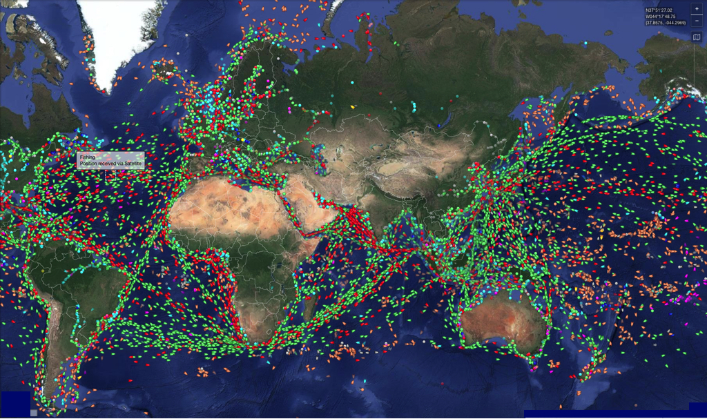
In the age of AI, dual-band GNSS and inertial units, the U. S. Navy returns to good old fundamentals by encouraging its sailors to practice celestial navigation. To prevent jamming, spoofing, or even a hypothetical total electronic blackout, US Navy commanding officers and navigators must master the dead reckoning and handling of the sextant. Excerpt from an article from U.S. Naval Institute freely translated and adapted (¹). Read more …
Category : General
NOAA in danger : bad weather for meteorology !
 The National Oceanic and Atmospheric Administration (NOAA) employs approximately 12 000 people around the world, more than half of whom are scientists and engineers. NOAA Operates 18 satellites and 15 vessels and has a budget of 6,8 billion dollars. Through various services, its job is to study the atmosphere (National Weather Service), study the oceans, fish resources, charting the seas (National Ocean Service), to follow their evolution and predict their future (Office of Oceanic and Atmospheric Research). NOAA's work is critical for aviation, Navy, fishing, climate research and offshore oil and gas exploration, especially when it comes to modelling weather patterns and climate change. Read more …
iTabNav.fr gets a makeover
 You know all the good things I think of my partner and friend Dominique Gauthier, Founder and Managing Director of iTabNav.fr (¹). I have been using his products since the beginning, We frequently collaborate, and also sometimes sail together.
He has just completed its online sales website a complete makeover. Read more …
Mac Navigation in the Blue Sky
Navigation Mac is now on Blue Sky @navigationmac.bsky.social
Definitive abandonment of X… Read more …
If the Gulf Stream ended ?
No, these are not the catastrophic rantings of an inveterate collapsologist, but a very serious study reported by the climatologist Stefan Rahmstorf. I give here a French and freely adapted transcription.
The warm currents that reach Europe are now called by climatologists AMOC, in English the "Atlantic Meridional Overturning Circulation". Read more …
The European Union is moving towards Open Data

Europe is moving forward slowly, but she moves forward… towards free access to data from public services ! March, the 21 December 2022 was published in the Official Journal of the European Union, under the reference C/2022/9562, The " Regulations of the European Commission establishing a list of specific high-value datasets and the modalities of their publication and re-use". Read more …
A new Expert Guide from Voiles editions & Voiliers
Navigate with a Digital Tablet and a Smartphone has just been published by Voiles & Voiliers, available in bookstores and specialist stores, since the Sails and Sailboats store, on FNAC Books and Amazon.
A digital version is online at Apple Books Store and also pour Kindle.
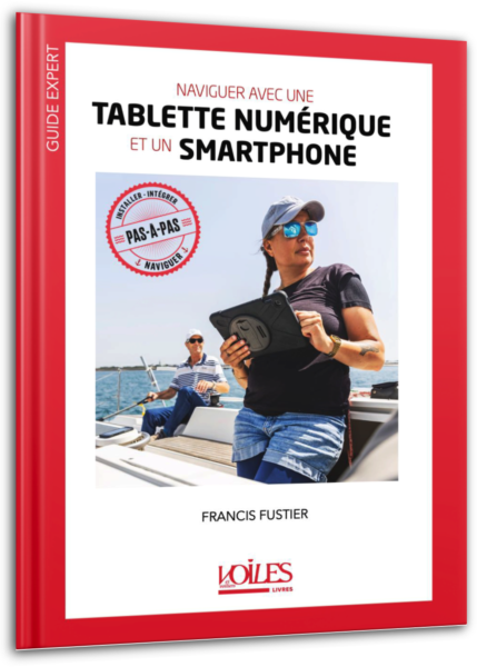
- Tablets and smartphones : choose your device and the essential accessories on board carefully.
- Navigation applications : review and detailed description according to your types of navigation, for the day, coastal, or offshore.
- Integration from mobile devices to on-board instruments : understand and implement.
An educational step-by-step 128 pages to keep up to date with the latest developments and equip yourself wisely today (19,90 € version papier, 19,99 € sur Apple Books Store). Read more …
Inflation does not spare pleasure
 Everything increases ! March, the 5 Apple has made the decision of an general increase of its App Store pricing list about next to 20%. This therefore concerns applications and certain in-app purchases, like services provided by the developers themselves, including cartography. This does not appear to affect in-app purchases via auto-renewing subscription, like the “Navionics Plus” option in Boating, in example. Read more …
COLREGS: Still Fit for Purpose ? [Update]
We can only observe, for three decades, the phenomenal increase in global maritime commercial traffic, The recent proliferation of maritime drones, for scientific and miscellaneous research purposes, automated and remotely submarines civilian, Military, and even for traffickers usage, and soon the inevitable coming into service of fully unmanneded merchant ships. This evolution is directly linked to the multiplication of satellites communication and positioning means allowing remote control of mobiles at sea.
Cyberattacks and boating
 Garmin was the victim of a cyber attack that began on 23 last July and lasted several days. The resulting outage disrupted many of its online services.
Navionics customers could no longer access the Navionics server via their login credentials. L’application Navionics Boating, the Navionics chart installer and chart viewer have all been impacted. products could no longer be purchased directly from the Navionics website. Chartplotters could still be used as standalone devices during this Garmin outage, but the maps could no longer be downloaded or updated. Read more …

