Catalog update of raster maps from the NLHO for the Netherlands by Geogarage for Weather4D Routage & Navigation and SailGrib WR. There are also maps of the managed Caribbean islands by NLHO.
- 24 new charts
- 54 deleted charts
- 19 maps for the Caribbean (Sint Maarten (NL part) / Saba / Saint-Eustache / Aruba / Curaçao / Bonaire)
The catalog includes 136 tiled raster maps from ENCs.
–––
 The end of an era !
 Two years after its launch for the Route du Rhum 2022, the cross-platform routing application dedicated to gaming Virtual Regatta Offshore has been the subject of an essential update in the run-up to the Vendée Globe. It has been available since September 29 th (
 It is now effective, with the latest update powered on September 27 th, Navionics Boating app becomes Garmin Boating. The Navionics® brand is now only about charting, but for how long ? However, it would seem risky to delete such a well-known trademark ! And as users have been able to see : A new logo has been imposed to clearly identify the owner of the application.
  March, the 5 th 2024, the last two satellites launched during the 12th launch of Galileo the 28 th, were officially integrated into the Galileo constellation, thus ensuring the sustainability of all services in orbit.
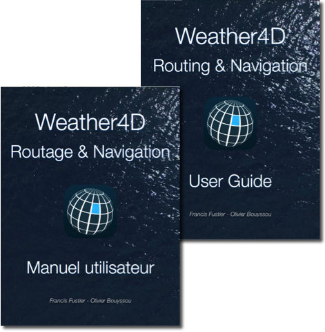 Update V.2.4 guides (FR/EN) of Weather4D Routing & Navigation.
 Since the launch of Starlink in 2020, the hardware and service offerings were particularly versatile (