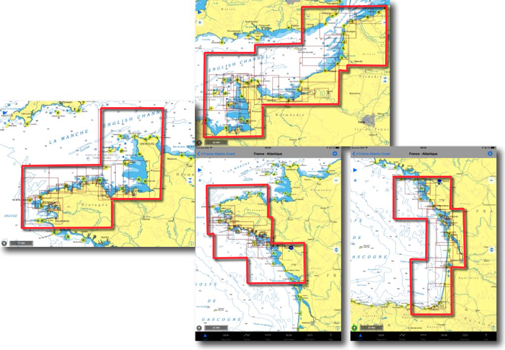
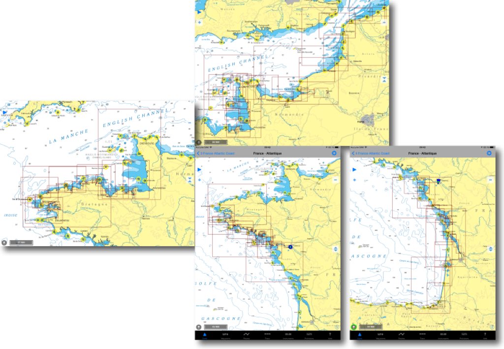
I had presented in May 2015 the excellent raster charts NV Charts by the German Publisher NV Verlag. In 2016, the previous cutting in 4 areas for France - Channel and Atlantic coasts - has been split into 8 areas for 49,90$ apiece. It should be noted that each year a new edition replaces the previous one, there is no update.
Category : macOS
iNavX undergoes a change of ownership
 New developers, new logo, new splash page, and new website.
The version 4.7.0 has just been delivered by NavX Studios LLC, the company that bought all of Richard Ray's computer creations : GPSNavX, MacENC and iNavX.
The handover took place during the summer. New developers (there are two of them) were first focused on iNavX, for a first debugging update, performance optimization and acceleration of charts downloading with X-Traverse. We can bet that this transfer will bring a new dynamic to these excellent applications, whose creation and development have rested since 2002 on the unique Rich Ray's keyboard.
I continue to test and produce the French version of these applications on behalf of the new team.
NV Chart extends coasts of France from SHOM
In a previous entry I presented the SHOM raster charts provided by many publishers on iPad. For several weeks the German nautical chart publisher NV Verlag offers two new areas ending coverage of the coasts of France Atlantic and English Channel. These charts are usable both with iNavX on iPad/iPhone, only with GPSNavX and MacENC on Mac. We can therefore, unlike Navionics, use the two available copies of each region on two different media (iPad , iPhone ou Mac).
Dead reckoning navigation with GPSnavX/MacENC
As discussed in the GPSNavX and MacENC help pages, under the “Simulator” section, you can use the function Simulator to carry out dead reckoning navigation. The simulator, Indeed, can be practical in the case where we do not have – or more – a connected GPS. Read more …
Get a route from a drawing in MacENC (continue)
Choice of route
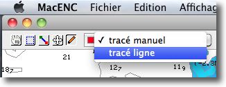
Since my article from 20 November about the subject, the version 7.40 by MacENC brought the possibility of drawing straight lines on the map with the “Annotation” tool.
This now makes it easier to create routes than freehand., by creating fewer waypoints.
The principle is the same as explained in the previous article, the procedure remaining the same. Read more …
Get a route from a drawing in MacENC
MacENC 7.30 brings a very interesting function allowing you to create a route, composed of a succession of waypoints, from a plot made with the mouse on the map using the “Annotation” mode of the toolbar.
How to go about it ?
1 – Select menu Routes > Open.
2 – Create a new route or choose an existing route.

