
Episode 2 – Illustrations
Forecasts IFREMER (see Episode 1) available in Weather4D are of two kinds :
-
- Current forecasts from the MARS2D model
- Sea state forecasts (combined currents and waves) based on WW3 model
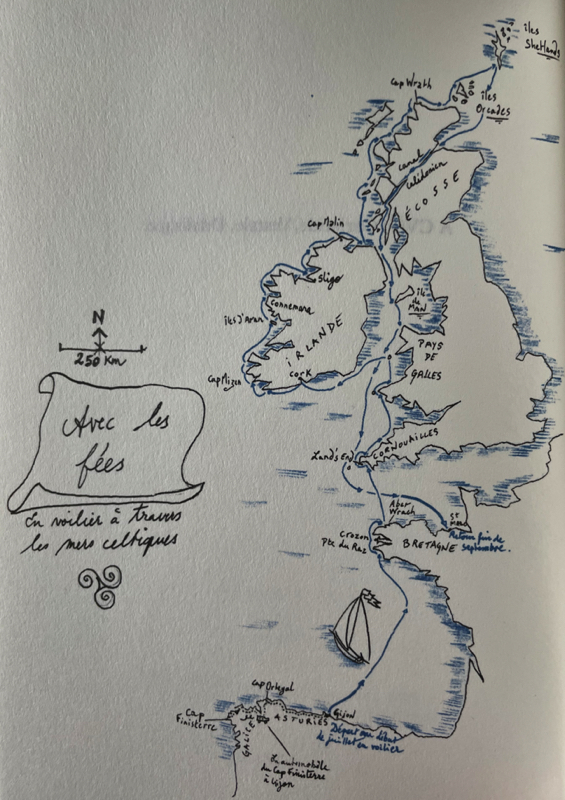
These files concern areas of the Channel and Atlantic whose coverage and resolutions are significantly different. Read more …

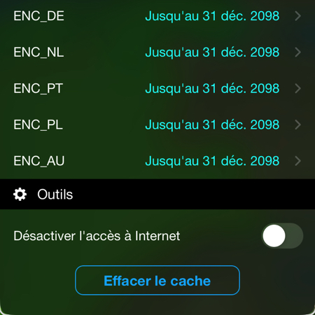 As part of the gradual conversion of raster charts to vector charts ENC (
