Many of you ask me about choosing an iPad for boating use. Unfortunately having no time to respond to every request a post is required. Every year, it is appropriate to review this issue, and sometimes even more often.
Follow your guide, new iPads 2026… Read more …
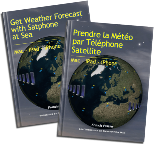 Update 2.4 (01/2026) of the guide Get Weather Forecast with Satphone at Sea version