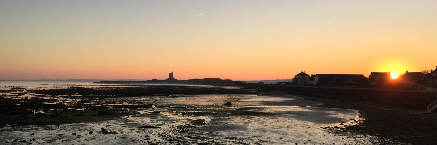
in May 1992, the International Hydrographic Organization (IHO) had adopted a standard aimed at defining the specifications of electronic charts, the ENC, used by ships, as well as the devices that display them, Called ECDIS. This standard has been published under the name S-57 – IHO Special Publication N°57. This standard was subsequently significantly updated, The version 3.1, in November 2000. Ten years were then left to the various operators, manufacturers and publishers, to bring their navigation systems on board ships into compliance. In January 2010, A new standard S-100 IHO Special Publication – Universal Hydrographic Data Model has been published, an important evolution aimed at adapting to this rapid growth in the data available for navigation. Read more …
Predict storms with Weather4D
 In Weather4D (all versions) most weather models provide a data called CAPE.
Convective Available Potential Energy, in French : Energie potentielle de convection disponible. Behind this obscure acronym hides a powerful storm forecasting tool. CAPE is measured in Joules per kilogram of air (J/Kg) and defines the vertical buoyancy energy of a hot air particle in a colder atmosphere. In other words, vertical acceleration of the air particle will be directly related to this energy measurement. Read more …
The Logbook in Weather4D Routing & Navigation
Posted onOne comment
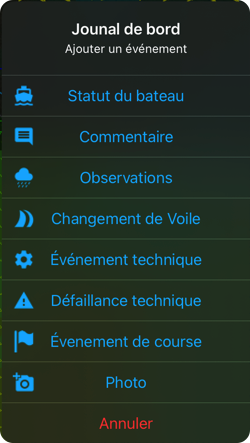 With update 2.0.57 Entering a logbook is now available in Weather4D Routing & Navigation. Data transfer to web interface Navygatio (¹) allows logbook entries to be recorded in near-real or delayed time depending on whether or not there is an internet connection during navigation. Read more …
Weather4D and iOS LAN
Posted onOne comment
From iOS/iPadOS 14.5, A new setting has appeared proposing to allow applications to access the Local area network. This option is offered when installing a new application, but is not necessarily activated if the application is already installed when the OS is updated.
Since then, Many of you are no longer able to connect certain applications (Weather4D, iNavX, aso.) Wi-Fi-connected devices : Iridium GO!®, Multiplexers, Miscellaneous NMEA gateways. To do this, you must activate this "Local network" option for the application concerned. Read more …
Weather4D Routing User Guide & Navigation
Posted on4 comments
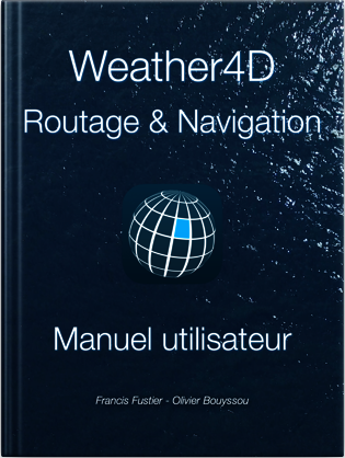 New publication of Manuels to Weather4D Routage & Navigation in French version. Warning, it is a new version to download which replaces the previous one (¹). The old guide should be removed from your library in the Apple Books app. Read more …
Navygatio : Weather4D's 5th dimension [Update]
Posted on15 comments
Weather4D Routage & Navigation brings a major novelty : The Service Navygatio (¹), a web interface which will allow to record the navigations on a server as time goes by, add photos, to share own page with relatives, compare tracks, Analyze performance, and much more to come. A real " Cloud at the unique service of Weather4D Routage & Navigation users with iOS and SailGrib WR with Android. Read more …
Reading : “Clouds and other meteors” Météo-France
Posted onOne comment
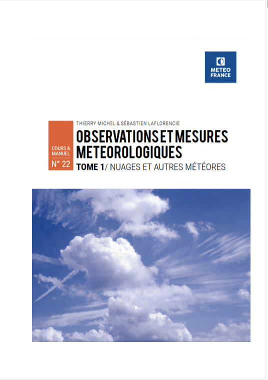 In an article updated in August 2020 (¹), I described nautical works in digital format that can be usefully saved on iPad in the Apple Books application. Among them, I mentioned the Météo-France books available in PDF format for free download from their documentary portal.
In the "Courses and Manuals" section of this site, a new book can be downloaded, Published in 2020, entitled " Meteorological Observations and Measurements – Volume 1 / Clouds and other meteors ”, A wealth of information about clouds, and all associated weather phenomena, which are called "meteors" (²). Read more …
You said « Medicane » ?
Posted on5 comments
Many sailors who cross the "Big Blue" have known for ages that, if the navigation is relatively easy, the weather represents a particularly difficult constraint to deal. Indeed, if the coasts are mostly clean and the dangers very localized, if the tides are almost insignificant, if the currents are to be considered only in well defined areas, the major difficulty comes from a capricious meteorology, difficult to forecast, which can represent a real danger by its changing moods, sudden, even rough. Read more …
Introduction to Marine Weather [2021]
The new tutorial " Introduction to Marine Weather is available on the iBook Store (¹).
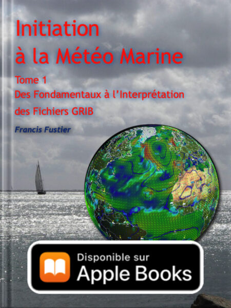 A complete reworking of the originally published book in 2015, new, clearer and more readable layout in portrait mode, ful revision of the text, Updated videos and illustrations. Read more …
New major evolution of the GFS model
NOAA (¹) annouced on 22 March a major upgrade to its weather forecasting model GFS.
For the first time, the Global Forecasting System (GFS), NOAA's flagship weather forecast model (¹) will be coupled with the global wave model Wave Watch III (WW3), produced by the CMNF (Fleet Numerical Meteorology and Oceanography Center), which will extend the current forecast of waves from 7 down to 16 days and improve the prediction of ocean waves forced by the atmosphere. Read more …

