in May 1992, the International Hydrographic Organization (IHO) had adopted a standard aimed at defining the specifications of electronic charts, the ENC, used by ships, as well as the devices that display them, Called ECDIS. This standard has been published under the name S-57 – IHO Special Publication N°57. This standard was subsequently significantly updated, The version 3.1, in November 2000. Ten years were then left to the various operators, manufacturers and publishers, to bring their navigation systems on board ships into compliance. In January 2010, A new standard S-100 IHO Special Publication – Universal Hydrographic Data Model has been published, an important evolution aimed at adapting to this rapid growth in the data available for navigation. Read more …
Label : cartography
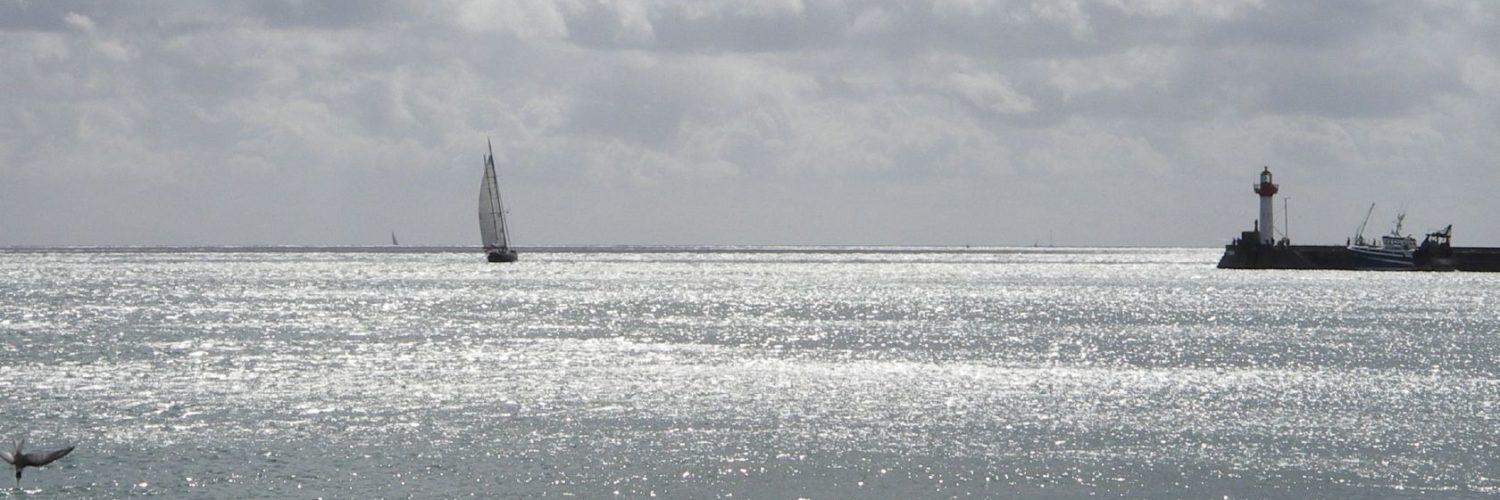
Electronic maps and updates… be prudent !
Over the last few years, I have expressed myself several times on the quality and reliability levels of the electronic charts we use in yachting., more particularly with the navigation applications of our mobile devices (¹).
Since the oldest article in 2013, It appears seven years later that nothing has really changed. On the occasion of a search for a landing in Galicia, I discover that some publishers have still not updated changes that are almost five years old, like the port of A Coruña, which is so busy. I can always be told that the examples I will cite on the West Atlantic coast do not affect safety in any way., But it gives reason to wonder about the rest of the coastline. It should be remembered that SHOM took nearly a year to update on its raster charts the extension of the port of Minimes in La Rochelle, while the German cartographer NV Verlag had long since represented it perfectly on the NV Charts (²). Read more …
Weather4D Routage & Navigation supports Imray charts
 With the delivery yesterday of the version 2.0.54, Weather4D add Imray (¹) to the Routing & Navigation, recently available in Geogarage. Five layers cover the Atlantic facade (²) , from the North Sea and Shetlands to the Canary Islands and the Azores, and one layer covers the Greater and Lesser Antilles.
But the most important are the three layers covering the western, central and eastern Mediterranean, which now provide detailed coverage from the Ionian Sea to the Aegean Sea. An excellent complement to the international SHOM layer. Read more …
Smart navigation – From paper charts to augmented reality
I relay here, in French, an article published in the British magazine Yachting Monthly (¹) the 30 th. The subject deals with the debate between paper charts and electronic navigation, by stating many truths, but also sometimes one or two untruths. The remarks have the merit of presenting contrasting arguments, and to obtain the opinion of recognized UK's professional boaters. Since the confinement imposes time constraints on us, let's take this opportunity to enjoy this instructive reading.… Read more …
Geogarage to introduce ENC charts for Weather4D
Geogarage, the mapping platform of raster charts derived from official services, today introduced two ENC-S57 rasterized charts layers for Weather4D Routing & Navigation, covering ’Spain and Croatia. The recent update June, 12 th of the application allows the activation of these two new chart sets. Read more …
Are electronic charts prescribed in France ? [Update]
This question comes up to me from time to time, and as no one is supposed to ignore the law, I feel obliged to make my contribution to the edification of the crowds (of boaters) by providing a collective response.

Manual or electronic navigation, which one to choose ?
Navionics Boating mutating
 Since Garmin has acquired Navionics (¹), it will not take more than a year for Navionics also make its small (r)evolution in its flagship iOS and Android application . New logo, renouncing the multiplicity of applications, abandonment of duality iPad/iPhone, pricing standardization, Bring, among other changes, A little more consistency in the offer. Read more …
Transas iSailor becomes Wärtsilä iSailor [Update]
 It had to happen one day ! iSailor users will be disappointed… in May 2018, Transas was acquired by the Finnish group Wärtsilä Corporation, a global leader in smart technologies and solutions for the marine and energy markets. As part of the integration into the Wärtsilä brand, Transas iSailor undergoes a relooking process that you will notice during the next release. Transas iSailor becomes Wärtsilä iSailor. Read more …
Fugawi charts service is discontinued [Update]
![]() It's official, the 30 November 2018, Johnson Outdoors, recent purchaser of Fugawi (*), decided to put an end to its activities. After discontinuing the distribution of their PC navigation software in August 2017, having closed the online nautical equipment sales store last spring, it is the turn of the download charts server to disappear. Read more …
It's official, the 30 November 2018, Johnson Outdoors, recent purchaser of Fugawi (*), decided to put an end to its activities. After discontinuing the distribution of their PC navigation software in August 2017, having closed the online nautical equipment sales store last spring, it is the turn of the download charts server to disappear. Read more …
Reading : "Beaufort, l’amiral du vent" by Raymond Reding
 It's a long time since I had made a reading note in this category. Lack of time, or lack of discovery ? I once again found a real literary enthusiasm when I read this excellent book by Raymond Reding : " Beaufort, The Admiral of the Wind ”.
Like any sailor that complies, I know the Beaufort scale since my first legs in sailing school, but, shame on me, I had never tried to find out more about this famous Francis Beaufort ! Raymond Reding, went like me through Les Glénans Sailing school, finally fills this lamentable lacuna with the greatest happiness. Read more …