Sailors my friends who love regattas and offshore racing, if you are provided with excellent French instrumentation OF (¹), enjoy ! With the last version 2.0.81 Weather4D Routage & Navigation now supports full transfer of performance data to the NKE Topline bus. Non-Weather4D users please refrain… Read more …
GRIB2 weather files in Weather4D
With the version Routing & Navigation 2.0.81, Weather4D supports weather files in GRIB2 format by external download. For example, the very high resolution model ICON-D2 (¹) of German Weather Service (DWD) for Northern Europe can be opened in the app. Read more …
Announced end of UKHO paper nautical charts
After the NOAA (¹) and the SHOM (²), United Kingdom Hydrographic Office (UKHO) has just announced its intention to take steps to phase out the production of the world's nautical paper charts by the end of 2026 to focus more on its digital navigation products and services. Read more …
Update Weather4D Routing User Manuals (EN/FR)
Updated Weather4D User Manuals Routing (FR) / Routing (EN) V.1.7.
On the menu : Added a descriptive table of acronyms for simulated routing data in labels, and minor improvements.
–––
As a reminder : Apple iBooks becomes “Books”
–––
Share GRIB files with Air Share [Update]
 More and more of you have adopted the Iridium GO! for its easy way to request GRIB files, directly from Weather4D and some other applications. But some also want to transfer these files to a PC to import them into Windows software. (as you know, no one is perfect !). An easy solution is available : the messaging app Air Share, compatible iOS/iPadOS (¹). [Update 30 th 2022] Warning : the application has changed its identifier code on the AppStore. Read more …
MiniPlex-3 new firmware 3.6.0 [Update]
Posted onOne comment
Warning : This article is for advanced users only. ShipModul has just released a new MiniPlex-3 firmware (V.3.6.0) and an updated version of the utility MPXConfig3 (V.3.6.0) PC/Windows. This is an update for improvements and bug fixes. Beginners abstain Read more …
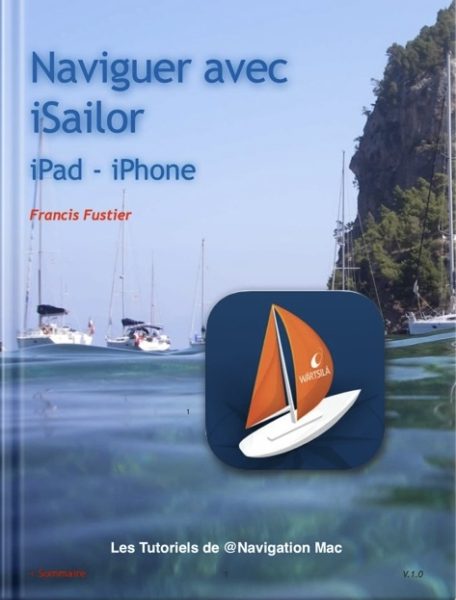
Sailing with iSailor [Update]
 The manual “ Sailing with iSailor » in French has just undergone a complete overhaul with Apple Pages.
- Much more readable portrait format interface
- Revision of illustrations
- Reviewing links
- Glossary review
- Insertion of a summary with return from all pages
- Miscellaneous text corrections.
MiniPlex-3 new firmware 3.4.0
 The MiniPlex-3 multiplexer has been experiencing since November 2021 numerous software improvements and changes with the Firmwares (Firmware) Versions 3.x.x. The latest version 3.4.0 Date of 13 January 2022. These firmwares are closely associated with the MPXConfig3 utility, the latest version of which 3.5.0 is required to perform the latest device update. To date, this utility can only be used with PC/Windows, the macOS version probably not being available until late February. Read more …
Garmin offers Vesper Marine
Posted onOne comment
![]()
![]() Obviously Garmin® has long teeth ! After Active Captain and Navionics charts, Garmin® has just announced the purchase of Vesper Marine, specialized in high-end AIS transponders (¹). Read more …
Obviously Garmin® has long teeth ! After Active Captain and Navionics charts, Garmin® has just announced the purchase of Vesper Marine, specialized in high-end AIS transponders (¹). Read more …
ECMWF weather data soon open to public [3rd part]
![]() Trafalgar Hit for the flagship of European meteorology, despite Brexit and contrary to what had been planned (¹), the European Center for Medium-Range Weather Forecast will stay in England ! Even better, a new headquarter for ECMWF to be fully funded by the UK government through the Department for Business, Energy and Industrial Strategy. Proof that the British have gone all out to keep this European scientific hotspot in Reading (²). Read more …
Trafalgar Hit for the flagship of European meteorology, despite Brexit and contrary to what had been planned (¹), the European Center for Medium-Range Weather Forecast will stay in England ! Even better, a new headquarter for ECMWF to be fully funded by the UK government through the Department for Business, Energy and Industrial Strategy. Proof that the British have gone all out to keep this European scientific hotspot in Reading (²). Read more …

