When AIS becomes Virtual Aid to Navigation

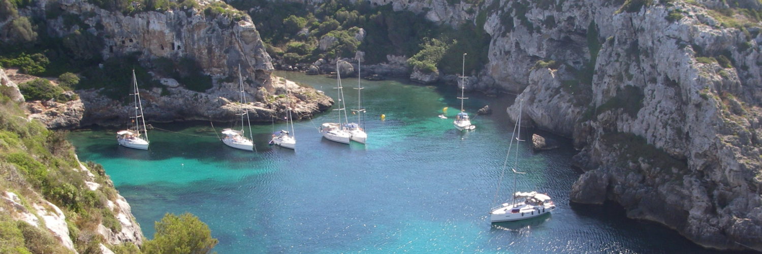
The acronym " VAtoN " means in English Virtual Aid to Navigation. In French : Virtual assistance to navigation (¹).

This concept is an extension of the AIS system. It allows, by means of a spacific AIS transponder located onshore, managed by an administration software, reporting virtually unreported hazard. The position of these hazards is plotted by an AIS target as an appropriate icon. For example, a buoy indicating a flush rock may have been temporarily destroyed by a storm. The VAtoN compensates for the absence of this mark while the maritime services put it back in place. Another example, creating an exclusion area of prohibited anchorage has not yet been an update on ENC charts. Read more …

Testimony : Transquadra and Navigation Mac

BluestairsAfter Jean Debèze, avid supporter of Navigation Mac, made me the pleasure of a detailed tutorial about installing a multiplexer aboard his sailboat, here's a ticket by Jacques Vermeulen, who testifies in a very didactic way to his experience during the recent Transquadra, on board "Bluestairs", with the owner and friend Marc Bolla.

Placed at the Transquadra 2011/2012, We met, during the first stage of the Mediterranean Barcelona-Porto Santo (Madeira), problems receiving and sending GRIB and data files via the Iridium network. Email was impossible to use with the Iridium Airtime cards we used. All we were left with was the possibility of calling with the Iridium.

Back after this first stage, I decided to deepen the subject and educate myself with Francis Fustier whom I had knowledge, Until now, than through his blog, really comprehensive. Read more …

Galileo, here we go !

Barely published, March the 20 October, my previous post about iPhone 4S new GPS chipset – allowing you to receive signals from the Russian GLONASS system – in which I inserted a skeptical comment about the future of Galileo, that I see myself caught up in the news.

Not only did the first two satellites of Galileo were launched the next day 21 October with success from Kourou, but also by the Russian Soyuz launcher ! I hope you enjoy the comic of the situation… Read more …

When Katia meets La Louise

Thierry Dubois and his teammates, dont Jacques Vermeulen experimenting its Iridium connection with its new MacBook Air, must not be laughing at the time I post this short post.

La Louise, conveying from Newfoundland to La Trinité, is being caught up in Hurricane Katia, ex-tropical cyclone, which is due to reach the coast of the British Isles next night. Based on last position and estimated speed, La Louise should be in the west of the weather area "Romeo", either in the southeast of the center of the Low, its intended position on the Navimail map below the location of the red boat at 18h UTC : Read more …

ADS-B, aviator's AIS

As I already wrote, in the word “aeronautics” there is “nautical”. This is no coincidence. So much so that for several years the world of aviation has been developing a concept similar to maritime AIS : ADS-B. I also would not be able to say which of the two is the first , it doesn't matter !

As the news that concerns us is a little flat these days – normal in July – I became interested in air navigation when I discovered an iPad application, which I will talk about a little further down.


ADS-B, Automatic Dependent Surveillance-Broadcast, which can be translated as “Diffusion Dependent Automatic Surveillance” is generally based on the same principle as AIS. Only the technical means differ. Read more …

A test onboard with Navigation Mac

During a somewhat sad weekend in January, we joined the port of L'Herbaudière, Isle of Noirmoutier, via the picturesque Gois passage at low tide.

We, that is to say, a boating journalist, my wife and myself.

Welcomed by two “naturals” of the country, Henri and Jean-Etienne. The latter putting his superb Océanis at our disposal 347 for the first on-board test, In France, navigation applications on Mac, iPad and iPhone. A great first, somehow. Read more …

The voice of marine weather

Marine weather, or rather I should write : Marine Weather, with capital letters, is for modern mariners as ancient gods was for our oldest ancestors : a permanent reference to the conduct of our life.

The Long Waves

Not so long ago, this divinity was speaking to us, sailors to trade, fishermen or boaters, by a celestial voice carried by the waves. Our high priestess, Marie-Pierre Planchon, informing us twice a day of the destinies, happy or terrible, that we risked experiencing by venturing out on the waves. In those days the weather had a name and a voice, recognizable at a glance. Read more …

About alignments and sextant

This holiday season, during which we happily return for a few days to the traditions, inspires me to rethink the traditions of an activity that is dear to us : navigation.
Not that of our illustrious predecessors, royal navies, discoverers of distant lands, corsairs, pirates or honest merchants, isn't it. I want to talk about the one that has concerned us for more than half a century : yachting. Especially to the attention of our friends who are sailors born in 70-80, who discovered navigation from the years 90, period of the appearance of GPS on board our pleasure boats.
I, who is constantly adding a website and a blog on the intricacies of computing onboard, of all these tools which bring us our position a few meters away, what the weather will be like in eight days, the height of water under the keel, the time at which it will be necessary to tack to take advantage of the favorable wind shift, and how much additional information is available in three mouse clicks, I don’t forget how I learned to sail.

This holiday season, during which we happily return for a few days to the traditions, inspires me to rethink the traditions of an activity that is dear to us : navigation.

Not that of our illustrious predecessors, royal navies, discoverers of distant lands, corsairs, pirates or honest merchants, isn't it. I want to talk about the one that has concerned us for more than half a century : yachting. Especially to the attention of our friends who are sailors born in 1970-80, who discovered navigation from the years 1990, period of the appearance of GPS on board our pleasure boats. Read more …