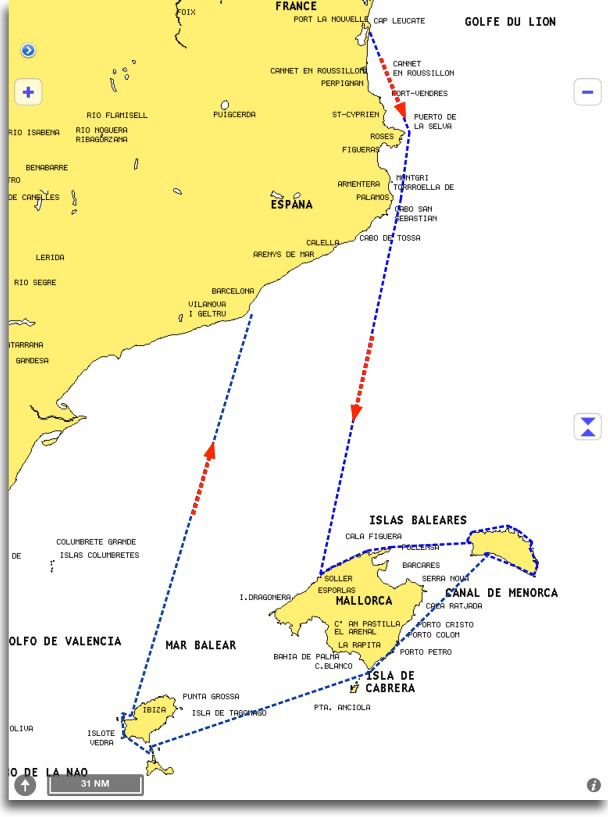
Sail with an iPad on a large classic yacht

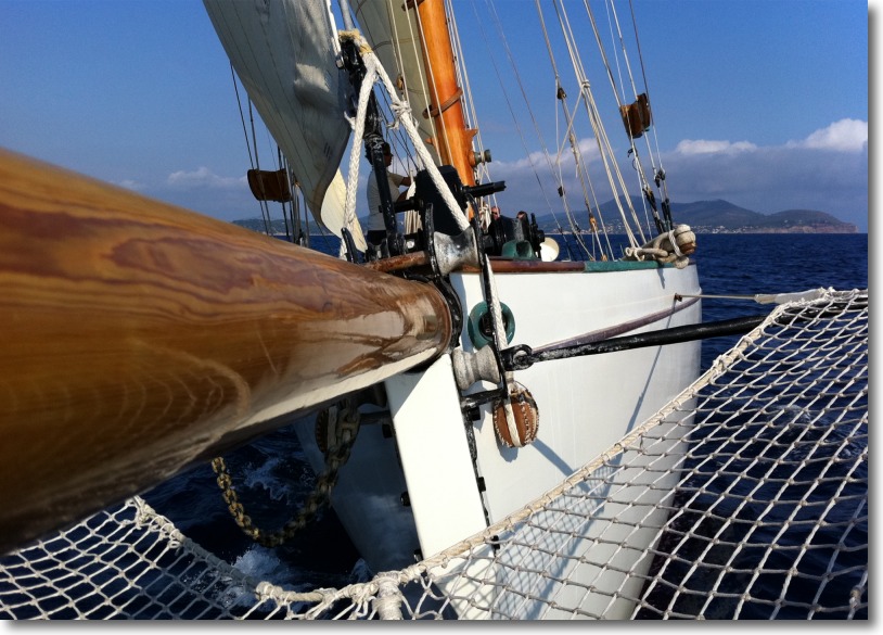
Training week-end onboard the 6 and 7 July 2013 " Navigate with an iPad » à bord de Owl, a classic ketch gaffer 21 meters high, construit en 1909, departure from Agde.

L’équipage (Skipper + marin et hôtesse) s’occupe de la manœuvre, food and cleaning. Le linge de cabine est fourni.

J’étais à bord pour dispenser la formation sur l’utilisation des applications avec iPad : iNavX, Weather4D PRO, AyeTides XL principalement. Au programme : routes preparation, routing optimization, suivi des routes optimisées, raffraichissement du routage, etc,. Un grand moment pour associer les dernières technologies au yachting de grande tradition. Read more …

MaxSea TimeZero on iPad

Announced for three months, The first version of TimeZero has been available for iPad for a few days. Under the brand Nobeltec, bought by Signet S.A., MaxSea holding company (¹), this free application contains a simplified design suitable for the tablet technology that has made the reputation of the French publisher.
I was waiting with curiosity for a while the position taken by MaxSea about the iPad phenomenon. The least I can say is that I am not disappointed. Read more …

ENCs, Routing and sailing shaves stone

The relationship of a recent experience of an iNavX user and Weather4D PRO routing function invites me to bring a warning to the attention of novices boaters in computer use.

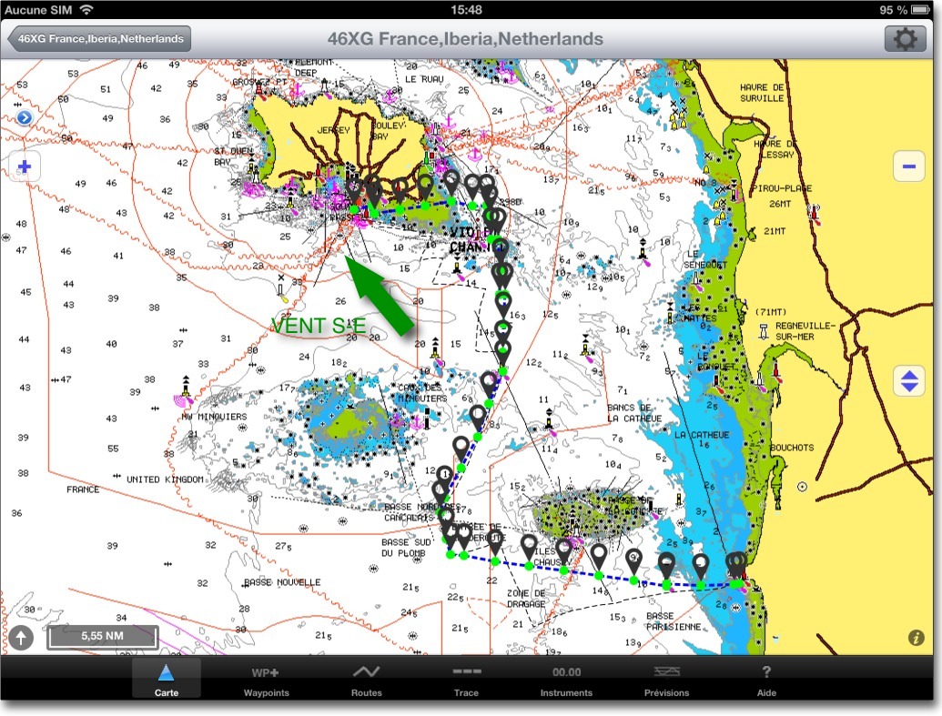
A regatta course, départ de St Hélier (Jersey) to arrival Granville, optimized with Weather4D PRO using fine grid GCWF model and MyOcean currents prediction, donnait la route suivante dans iNavX :

routage 1

The optimized route transferred to iNavX

Read more …

ADS-B transponders on future Iridium NEXT satellites

I mentioned in two previous posts, d’une part le système ADS-B équivalent de l’AIS pour l’aéronautique, d’autre part le futur des communications satellites avec la prochaine constellation Iridium NEXT. Figurez-vous que le site NewScientist nous apprend, dans un récent article daté du 14 December, que les satellites Iridium NEXT vont embarquer des appareils de transmission ADS-B. Je vous en livre ci-après une traduction librement adaptée.

Ces deux technologies de communication associées vont révolutionner le trafic aérien dans les dix ans à venir. Read more …

BeiDou-2 Chinese GPS

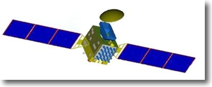
BD-2GChina launched its 16th satellite of its satellite positioning system BeiDou-2. Like all other Chinese satellites, it was put into orbit by their own rocket Long March 3.

It is the sixth satellite launched this year to complete the constellation of satellites that will make up the BeiDou-2 navigation network. Started in 2007, this network is the successor to the BeiDou-1 project launched in October 2000 and gradually made up of 4 Experimental satellites. Read more …

Ocean Atlas, the Pilot Charts revisited

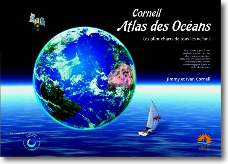
Atlas des OcéansThe Atlas of Oceans by Jimmy and Ivan Cornell is a gold mine in color A3 size of over one kilogram. This one won't fit in an iPad !

60 Pilot Charts Updates to the latest data, 69 transoceanic route charts, Tactical remarks and suggestions for the choice of the best crossing times provided by routers and meteorologists specializing in each area.

It had the passion and experience of the author of famous " World Cruising Routes ” (*) and those of his son to carry out such a work. Read more …

When AIS becomes Virtual Aid to Navigation

The acronym " VAtoN " means in English Virtual Aid to Navigation. In French : Virtual assistance to navigation (¹).

This concept is an extension of the AIS system. It allows, by means of a spacific AIS transponder located onshore, managed by an administration software, reporting virtually unreported hazard. The position of these hazards is plotted by an AIS target as an appropriate icon. For example, a buoy indicating a flush rock may have been temporarily destroyed by a storm. The VAtoN compensates for the absence of this mark while the maritime services put it back in place. Another example, creating an exclusion area of prohibited anchorage has not yet been an update on ENC charts. Read more …

Testimony : Transquadra and Navigation Mac

BluestairsAfter Jean Debèze, avid supporter of Navigation Mac, made me the pleasure of a detailed tutorial about installing a multiplexer aboard his sailboat, here's a ticket by Jacques Vermeulen, qui témoigne de façon très didactique de son expérience pendant la récente Transquadra, à bord de « Bluestairs », with the owner and friend Marc Bolla.

Placed at the Transquadra 2011/2012, nous avons rencontré, lors de la première étape de Méditerranée Barcelone-Porto Santo (Madeira), des problèmes de réception et d’envoi de fichiers GRIB et data via le réseau Iridium. Email was impossible to use with the Iridium Airtime cards we used. Ne nous est restée que la possibilité de téléphoner avec l’Iridium.

Back after this first stage, I decided to deepen the subject and educate myself with Francis Fustier whom I had knowledge, jusqu’alors, que par son blog, really comprehensive. Read more …

Galileo, here we go !

Barely published, the 20 October, my previous post about iPhone 4S new GPS chipset – allowing you to receive signals from the Russian GLONASS system – in which I inserted a skeptical comment about the future of Galileo, that I see myself caught up in the news.

Not only did the first two satellites of Galileo were launched the next day 21 October with success from Kourou, but also by the Russian Soyuz launcher ! I hope you enjoy the comic of the situation… Read more …

When Katia meets La Louise

Thierry Dubois and his teammates, dont Jacques Vermeulen experimenting its Iridium connection with its new MacBook Air, must not be laughing at the time I post this short post.

La Louise, conveying from Newfoundland to La Trinité, is being caught up in Hurricane Katia, ex-tropical cyclone, which is due to reach the coast of the British Isles next night. Based on last position and estimated speed, La Louise should be in the west of the weather area "Romeo", either in the southeast of the center of the Low, its intended position on the Navimail map below the location of the red boat at 18h UTC : Read more …