![]() It's official, the 30 November 2018, Johnson Outdoors, recent purchaser of Fugawi (*), decided to put an end to its activities. After discontinuing the distribution of their PC navigation software in August 2017, having closed the online nautical equipment sales store last spring, it is the turn of the download charts server to disappear. Read more …
It's official, the 30 November 2018, Johnson Outdoors, recent purchaser of Fugawi (*), decided to put an end to its activities. After discontinuing the distribution of their PC navigation software in August 2017, having closed the online nautical equipment sales store last spring, it is the turn of the download charts server to disappear. Read more …
Category : Charting
Reading : "Beaufort, l’amiral du vent" by Raymond Reding
 It's a long time since I had made a reading note in this category. Lack of time, or lack of discovery ? I once again found a real literary enthusiasm when I read this excellent book by Raymond Reding : " Beaufort, The Admiral of the Wind ”.
Like any sailor that complies, I know the Beaufort scale since my first legs in sailing school, but, shame on me, I had never tried to find out more about this famous Francis Beaufort ! Raymond Reding, went like me through Les Glénans Sailing school, finally fills this lamentable lacuna with the greatest happiness. Read more …
Navionics charts are no longer available for MacENC [Update]
[Update 30 th 2018] Warning : MacENC application is no longer supported by its developers. It no longer reads raster charts and Navionics charts are no longer available. Application is discontinued to date.
Since the upgrade of Navionics Gold to Navionics Plus (¹), Navionics supply disappeared from Fugawi / Charts folder for MacENC. Thinking of a temporary disappearance, I finally asked the Fugawi support who confirmed (between the lines) permanent deletion : Read more …
The stakeholders of electronic charting [Update-2]
In April 2010 I published a ticket to locate the main actors of the electronic charting. Time passing, this information should be refreshed, due to recent business movements. Some have disappeared, as Maptech, more recently Fugawi, others have changed hands, an update is necessary.
Thunderbolt this 27 October 2017, Navionics charts was acquired by Garmin (¹) ! The last private publisher to remain independent, until today in the hand of the Italian founder Giuseppe Carnevali, passes into the portfolio of the multinational company Garmin, shortly after the purchase of the global database Active Captain. The cards are redistributed once again…
Digital nautical charts : purchase or subscription [Update] ?
[Update 3 th 2019]
With the multiple charts disappearances during the successive updates of iNavX, I received a number of requests for assistance in the recovery of the said charts.
Regardless of the fact that I am not supporting NavX Studios LLC (iNavX) (¹), a focus is needed on the method of charts provision by distributors for our mobile applications.
The new division of the NV Charts
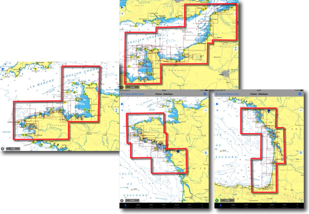
I had presented in May 2015 the excellent raster charts NV Charts by the German Publisher NV Verlag. In 2016, the previous cutting in 4 areas for France - Channel and Atlantic coasts - has been split into 8 areas for 49,90$ apiece. It should be noted that each year a new edition replaces the previous one, there is no update.
Navionics Boating 9.0 update on what's new
Updated on 17 May, Navionics Boating presents some modifications, in presentation and functionalities.
First of all only subsist Navionics Boating for iPhone and "Boating HD" » for iPad. The old names have disappeared, happily because confusion was great. Version purchased with built-in charting has the name of the region, for example "Europe HD" for iPad. On the other hand, there is a free version called "Seas and Lakes" which allows to test then buy a chart of the area of choice, and additional options. Read more …
C-Map back to Europe
Yachtmen my friends, do you know Altor ? Of course not, don't look for, me either until this morning. Altor is an investor from northern Europe who presents himself as follows :
"Altor is a family of Private Equity Funds focused on investing in and developing and medium sized companies with’a Nordic origin. We want to create Sustainable values and make a real difference as a a valuable partner For Owners and managers in buiding to world class companies. We work with a Nordic team with extensive international experience in fields such as private equity, consulting, investment banking and various industrial sectors."
But why talk about it ? Read more …
Buy nautical charts on Geogarage
![]() Weather4D Routage & Navigation offers a choice of raster charts from many international hydrographic services . Charts folders are available for application on the French web server Geogarage. Charts are subject to an annual subscription by Publisher directly on Geogarage website after creating an account there. After subscribing to a publisher, the entry in Weather4D 2.0 credentials created in Geogarage activate display of subscribed folder , ready to download. Procedure step-by-step :
Weather4D Routage & Navigation offers a choice of raster charts from many international hydrographic services . Charts folders are available for application on the French web server Geogarage. Charts are subject to an annual subscription by Publisher directly on Geogarage website after creating an account there. After subscribing to a publisher, the entry in Weather4D 2.0 credentials created in Geogarage activate display of subscribed folder , ready to download. Procedure step-by-step :
Does Navionics charting become dangerous [Update] ?
Since the start of the navigation season, many boaters have found an increasing number of errors on Navionics charts, following recent updates, all media. All over Europe, Germany, Baltic States, French coasts of the Channel and until Spain, appeared non-existent channels and erroneous soundings, missing soundings, Missing information, Conflicting bathymetric information depending on zoom levels, and so on. Most importantly, these findings are made by long-time regular users of Navionics charting, experienced sailors.
[Corrective update 26 August 2015]
[October Corrigendum Update 2 2015] See end of entry. Read more …


