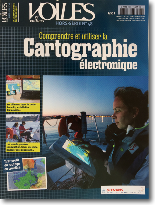
 Since end 2012 I found no more of maritime books causing me the overwhelming desire to share, Like the few novels described in this section " Reading ”. Today this feeling comes back to me, in a completely different vein, on reading the excellent Special issue n° 48 of Voiles et Voiliers : " Understand and use electronic charting ”. Read more …
Category : Charting
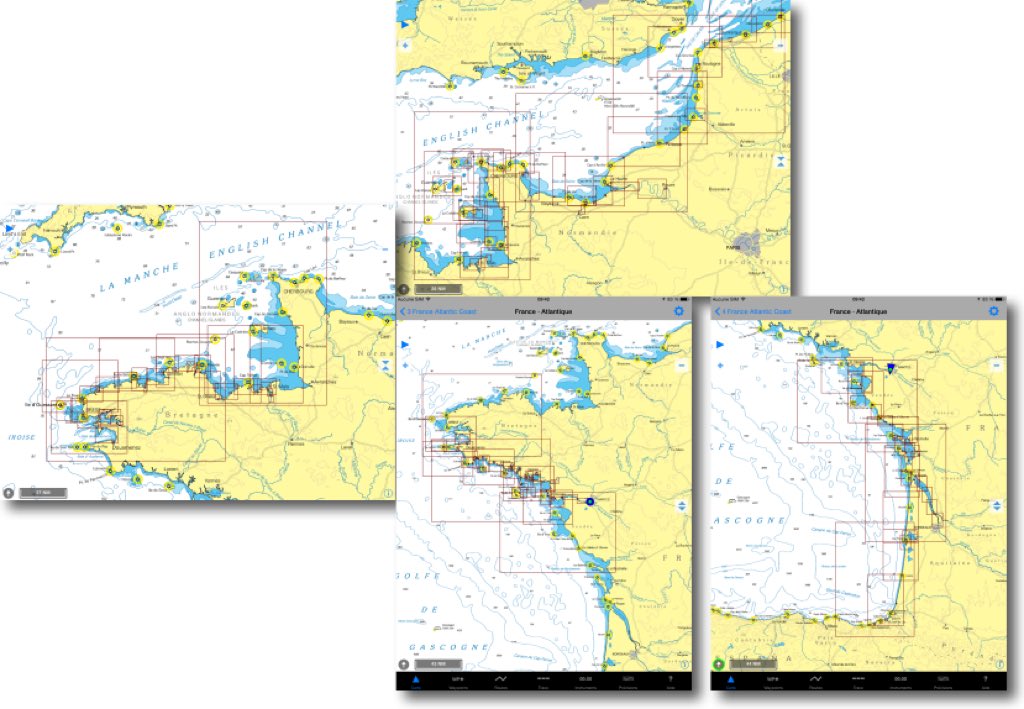
NV Chart extends coasts of France from SHOM
In a previous entry I presented the SHOM raster charts provided by many publishers on iPad. For several weeks the German nautical chart publisher NV Verlag offers two new areas ending coverage of the coasts of France Atlantic and English Channel. These charts are usable both with iNavX on iPad/iPhone, only with GPSNavX and MacENC on Mac. We can therefore, unlike Navionics, use the two available copies of each region on two different media (iPad , iPhone ou Mac).
Raster Charts… the comeback [Update]
[Update 26 August 2018]
I have been an ardent supporter of vector maps for several years.. Compact, of low numerical weight, easy to update, they are perfectly suited to use on our mobile devices.
According to the good old adage that only fools don't change their minds, Recent technical developments in hardware and software, added to maritime events that have occurred in recent years, have led me to reflect on the correctness of my opinion. Trained in the old school of safety in Glénans Sailing School, The only bias I must allow myself to express is that of the safety of human life at sea. This may sound a bit "old-fashioned" for some, but I assume. Hang, It's going to be a long time.
How to update charts with iNavX [Update]
With iNavX, with iPhone like iPad, charts update goes through two processes. It is necessary to distinguish individual charts update, and update full charts folders with a new edition. Read more …
Electronic charts : scales and overscale [Update]
A recent email exchange with a Mediterranean user drew my attention to a specific aspect of electronic charting : zoom limitation of a chart. ENC vector charts (¹) are classified in 6 categories depending scale : smallest scales less than 1:1.500.000 for global views to largest scale up to 1:4.000 for harbours and anchorages. (²).
In most cases, ENC S-57 (¹) official charts the most detailed have a scale about 1:4000, thus 1 cm on the chart (screen view) represent 40 meters on the ground. With paper chart, the only way to get more details is… to use a a magnifying glass, that provides, as we know, in no case more accuracy. But it is quite otherwise for electronics charts.
iNavX 4.0.0 improves charting [Update]
 iNavX 4.0.0 greatly improves the display of raster charts : continuous seamless tiled charts (¹) and access to a new Navionics Gold chart : the 50XG covering almost the entire Pacific Ocean. Read more …
Navionics Boating : Italian at the top of business [Update]
 How make the new with the old ? Navionics knows it ! After publishing geographic areas including a navigation application, here is now an application, but without charting. Italian are too much !
Navionics Boating Complements, since January 2014, The App Collection Navy (iPhone) and Marine HD (iPad ). Also available as standard version for iPhone and HD for iPad, Navionics Boating has the same version number 6.0 than others. Navionics point, on the dedicated website page of its website, that Navionics "Boating" does not replace Navionics "Marine" which will continue to be updated. However, it is permissible to wonder for how long, because this new application provides a very bad surprise. Read more …
Charting, the game of 7 errors
A recent Thread on the Hisse Et Oh forum, I salute by the way, I challenged the accuracy of the chart data provided on the electronic charts. The subject concerns the observation that, in some location, existing information on the Navionics Marine HD application, or on some chartplotters, are missing on Navionics charts available on the website x-traverse.com used with iNavX (and MacENC). Quote :
"So the question is : Is there a difference between the 46XG map and the Europe map or is the difference due to the software that makes the cards tick?. ”
Damned ! It seemed useful to make comparisons closing electronic charts from various sources. As far as I know particularly well geographic location used in example, since it is the approach to the port of Concarneau, near the beacon tower Le Cochon, passage I borrowed hundreds of times over the years I was working with Glenans Nautical Centre. Read more …
Paper marine charts to disappear, revolution or ineluctable evolution? ?
 In its newsletter of 22 October 2013, theOffice of Coast Survey, Department of NOAA (*) responsible for the production of nautical charts of the U.S.A., announces the end of the printing paper charts. This announcement was a bombshell in American marine and the press has made in largely echo. Read more …
Charting compared, a mixed result
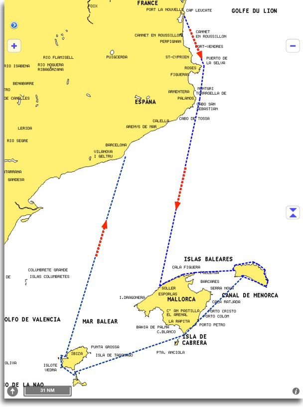 Three weeks and 600 nautical miles of sailing between the mainland and the Balearic Islands have allowed me to test in live some of iPad maritime applications we have.
Warning : There is no question of making a point-by-point comparison between applications, but rather to highlight certain essential aspects of their use. On the other hand, applications used were up-to-date at the beginning of July. Developments are rapid, and updates may have occurred in August or early September that I did not have. Finally, the messaging app iNavX associated with Navionics charting available from the X-Traverse server for me is the "master-standard" marine applications. iNavX is the most complete application in terms of features to date, and Navionics charting (from the X-Traverse server, I specify) closest to the geographical reality observed by many users.

