MaxSea TimeZero on iPad

Announced for three months, The first version of TimeZero has been available for iPad for a few days. Under the brand Nobeltec, bought by Signet S.A., MaxSea holding company (¹), this free application contains a simplified design suitable for the tablet technology that has made the reputation of the French publisher.

I was waiting with curiosity for a while the position taken by MaxSea about the iPad phenomenon. The least I can say is that I am not disappointed. Read more …

ENCs, Routing and sailing shaves stone

The relationship of a recent experience of an iNavX user and Weather4D PRO routing function invites me to bring a warning to the attention of novices boaters in computer use.

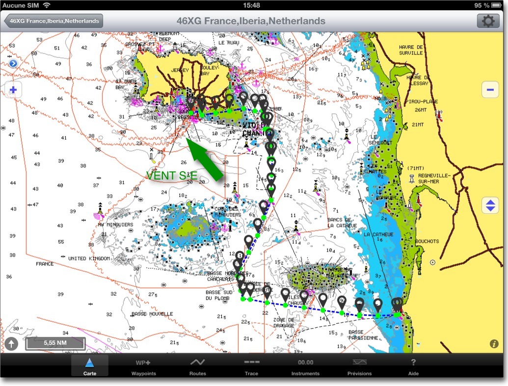
A regatta course, departure from St Helier (Jersey) to arrival Granville, optimized with Weather4D PRO using fine grid GCWF model and MyOcean currents prediction, gave the following route in iNavX :

routage 1

The optimized route transferred to iNavX

Read more …

Apps de navigation : what's new for the start of the school year

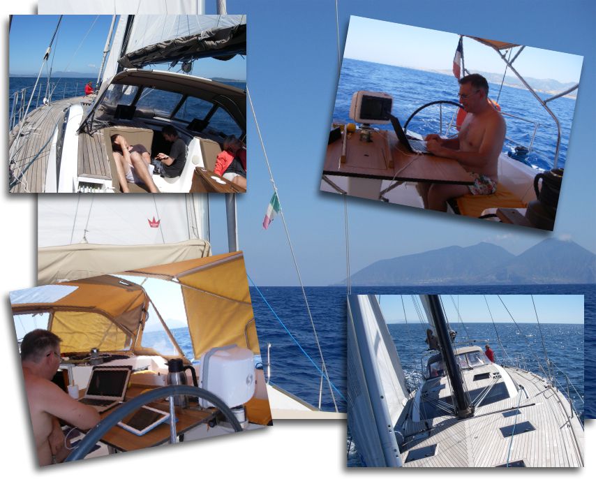
While I spent my summer diligently testing hardware and software in extremely arduous conditions, hard-working developers tirelessly aligned miles of lines of code to improve our navigation applications. What dedication, what self-sacrifice !

développeurs en action

Challenging working conditions…

Regarding navigation applications, the new features mainly come from Navionics Marine and iSailor Sex. To all lord all honor, let's start with the undisputed leader of our smartphones and tablets, Navionics charts… Read more …

iOS5 and iNavX update

Richard Ray informs us :

I noticed after updating to iOS 5 that all my maps downloaded in iNavX were gone. This happened because the iOS update 5 update requires a full restore of the device and the charts are not stored in the iOS backup (because of iCloud). Let me know if you experience any different operation.

To restore any NOAA charts, Select any NOAA region, then select the Recent filter (looks like a clock), then select "Update Maps".

To restore any charts from X-Traverse (Navionics charts, NV-Verlag, Solteknik, aso.) : Select the folio you want, select "Update Map List", select a map and then "Download all".

If you have any problem with your X-Traverse account, Contact support@x-traverse.com

Free ENC river charts for use with MacENC

VNFAs part of its policy aimed at offering users an ever more efficient and safe waterway, public institution Waterways of France (VNF) embarked on the production of electronic navigational charts on various inland waterways. The first two : the “Dunkerque-Escaut” and “La Garonne” connection are published.
The big surprise, unique case in the history of French administration, is that these charts are available free and free download on VNF website. It was worth saluting ! Read more …

Curious price changes at Navionics

Bad news : changes in the price of Navionics charts for iNavX on iPad have appeared on the site x-traverse.com, and unfortunately for the regions that directly concern us : Region 46XG Europe and 43XG Mediterranean (replacing the previous 23XG 2011) for iPad increase by +13% to $54 down to $61 (either daily exchange 38 € up to 43 € environ).

At the same time, however, Region 28XG British Isles lose -18% to $84 down to $69 (59 € up to 48 € environ). Good news for English browsers, and our fellow citizens who travel the beautiful coastline of the "Perfide Albion".

It remains nonetheless that, after a significant increase in early May with the arrival of editions 2011, it is surprising to see such rapid changes just at the start of the summer season, you'd think the stock rates !

Crossing the Pacific with an iPad

After my first post Crossing the Atlantic with an iPad here are some screenshots provided by Christophe Mahé between Panama and the Marquesas Islands, during his crossing last month. Just to dream a little, and to convince the last recalcitrant about the ability of an iPad to provide a position and trace a route anywhere on the globe. Read more …

iSailor, charts are available for France

isailorSex updated list of new charts available for iSailor, include coasts of France :

∙ Germany ∙ Australia ∙ Bermuda ∙ Canada ∙ Denmark ∙ Egypt ∙ Spain ∙ Estonia ∙ Finland ∙ France ∙ Greece ∙ Italy ∙ Ireland ∙ Latvia ∙ New Zealand ∙ Norway ∙ Papua New Guinea ∙ The Netherlands ∙ Portugal ∙ United Kingdom ∙ Suede ∙ USA : Atlantic Coast, Gulf Coast, Pacific Coast, Hawaiian Islands, Alaska, Great Lakes (U.S. Waters). Read more …