Navionics Marine still going strong

Strong of 1 million applications sold for mobile devices, announcement end of April 2013, Navionics continues to offer new and more attractive options. However, the term “tempting” could sometimes rhyme with “disillusioning”.

The last option in-app available from 15 August 2013 is called NavionicsPlus. This is the fourth paid option that Navionics has added to its Navionics Marine apps for iPhone and iPad. What is it about ?

Read more …

Charting compared, a mixed result

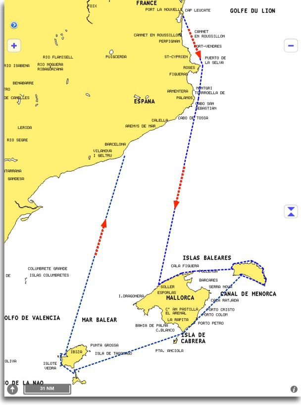
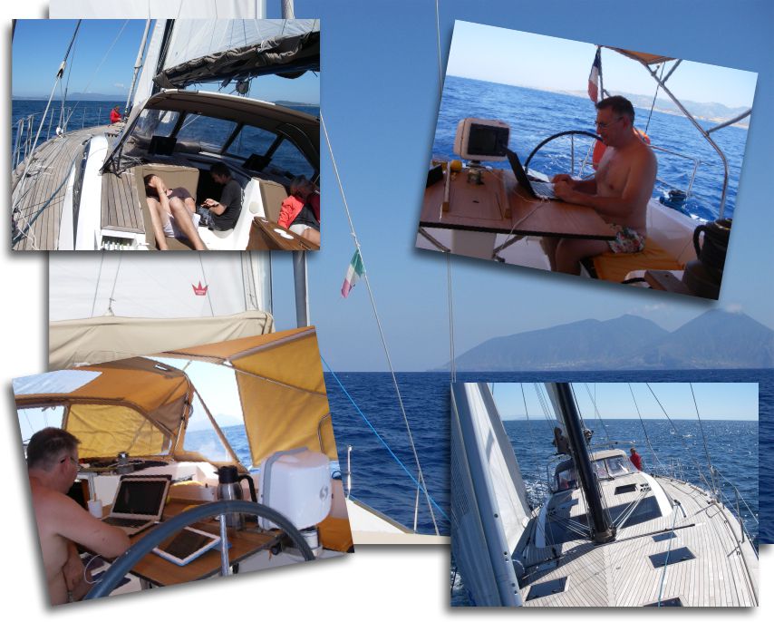
Croisière estivale aux BaléaresThree weeks and 600 nautical miles of sailing between the mainland and the Balearic Islands have allowed me to test in live some of iPad maritime applications we have.

Warning : il n’est pas question de me livrer à un comparatif point par point entre les applications, mais plutôt de relever certains aspects essentiels de leur utilisation. On the other hand, applications used were up-to-date at the beginning of July. Les évolutions sont rapides, et des mises à jour ont pu intervenir en août ou début septembre dont je ne disposais pas. Finally, the messaging app iNavX associée à la cartographie Navionics disponible from the X-Traverse server for me is the "master-standard" marine applications. iNavX est à ce jour l’application la plus complète en terme de fonctionnalités, and Navionics charting (from the X-Traverse server, I specify) la plus proche de la réalité géographique constatée par de nombreux utilisateurs.

Read more …

Apps de navigation : what's new for the start of the school year

While I spent my summer diligently testing hardware and software in extremely arduous conditions, hard-working developers tirelessly aligned miles of lines of code to improve our navigation applications. What dedication, what self-sacrifice !

développeurs en action

Challenging working conditions…

Regarding navigation applications, the new features mainly come from Navionics Marine and iSailor Sex. To all lord all honor, let's start with the undisputed leader of our smartphones and tablets, Navionics charts… Read more …

Search for charts information data with iNavX

leisureNavionics vector charts contain a number of detailed information for each marina, and sometimes certain anchorages. These places are marked on charts by the symbol shown against.

This data is called "Navaids" when the information relates to navigation, and "POIs" when dealing with practical and interesting information (Point Of Interest, The "s" is the plural). Read more …

iOS 5 can erase your Navionics charts without warning

Good surprise during the ARC transatlantic 2011.

After transferring photos from my device to my iPad, for an unknown reason the storage memory was full. I had 9GB free and I only transferred the contents of a 2GB SD-Card. Mystery !

Anyway, after two or three system messages warning me of the upcoming saturation, iOS 5 has simply deleted all my Navionics map used by iNavX !

When asked by e-mail, Rich Ray confirmed the fact possible :

"This is an unfortunate change in iOS5, the iOS will and can clear any apps downloaded data without notice if another app needs more space.. iOS doesn't give any notification to the app if this happens".

Olivier Bouyssou told me it was possible for developers to store application data in a folder reserved unerasable, but that this was rarely allowed by Apple. This was a big problem because no one knew how iOS selected which apps it cleared from.

Yachtmen my friends, be prudent : if you do not want to lose your charting during the cruise, away from any network allowing you to download them again, monitor the available space of your iPad and iPhone.

Curious price changes at Navionics

Bad news : changes in the price of Navionics charts for iNavX on iPad have appeared on the site x-traverse.com, and unfortunately for the regions that directly concern us : Region 46XG Europe and 43XG Mediterranean (replacing the previous 23XG 2011) for iPad increase by +13% to $54 down to $61 (either daily exchange 38 € up to 43 € environ).

At the same time, however, Region 28XG British Isles lose -18% to $84 down to $69 (59 € up to 48 € environ). Good news for English browsers, and our fellow citizens who travel the beautiful coastline of the "Perfide Albion".

It remains nonetheless that, after a significant increase in early May with the arrival of editions 2011, it is surprising to see such rapid changes just at the start of the summer season, you'd think the stock rates !

Crossing the Pacific with an iPad

Après mon premier billet Crossing the Atlantic with an iPad voici quelques captures d’écran fournies par Christophe Mahé entre Panama et les Iles Marquises, during his crossing last month. Just to dream a little, et de convaincre les derniers récalcitrants sur les capacités d’un iPad à fournir une position et tracer une route n’importe où sur le globe. Read more …

Crossing the Atlantic with an iPad

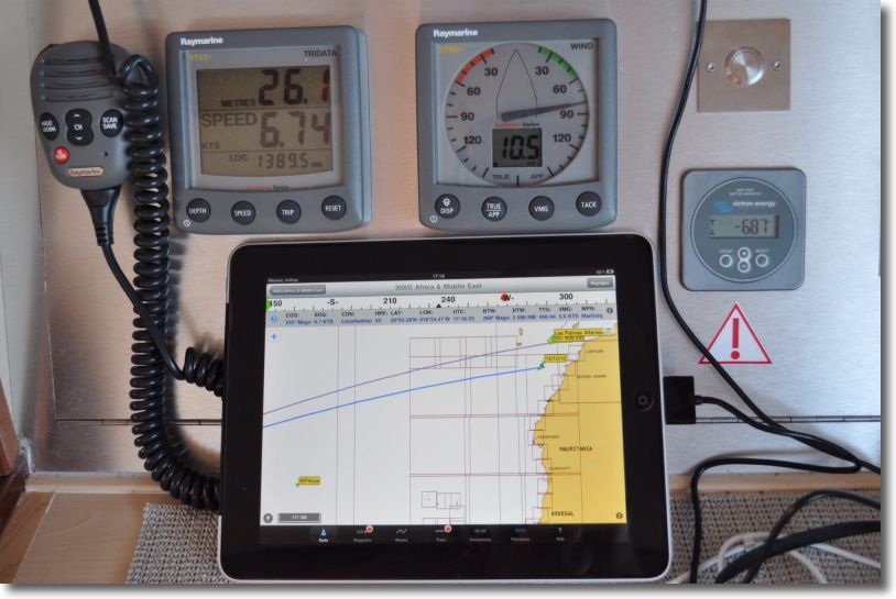
I cannot resist the urge to show you some pics (*) to iNavX on iPad qui vient de traverser l’Atlantique, from Mediterranean to Martinique. The sailor has abandoned his MacBook Air, on which he uses MacENC for several years with S-57 ENC charts. Il a basculé sur un iPad 3G, featured iNavX, Navionics Gold charts and the Apple app Numbers to write his log book.

iPad

iNavX en pleine action

Read more …

Navionics Mobile and Community Sharing

Once will not hurt, I relayed the information in French from Blog Panbo which have interest for Apple mobile devices users.

Community Sharing

  • User Generated Content (User-generated content)
  • Social Mapping or Social Charting (Social Mapping)
  • Crowd Sourcing (Crowd sourcing)

All these english words mean the same principle : sharing to the community all maritime information collected by each charting software user. In other words, each boater can use its navigation application to share all information on any changes observed over charts. This can concern the markup, the erection of a new quay or the appearance of new catways in a harbour, practical information on new harbourt services, incorrect positioning of a rock or the appearance of an uncharted shoal, etc,. Read more …

The stakeholders of electronic charting

Navionics charts, C-Map charts, BlueChart, MapMedia… You will admit that we have difficulty finding our way in all these brands of electronic cartography. Who belongs to whom ? What works with what ?

To help you see things more clearly, I took a little time to locate the main actors who, au final, provide us these wonderful charts that avoid storing pounds of paper. place free, and ecological in addition ! Once again, follow the leader… Read more …