
An SSB receiver for leasure boating
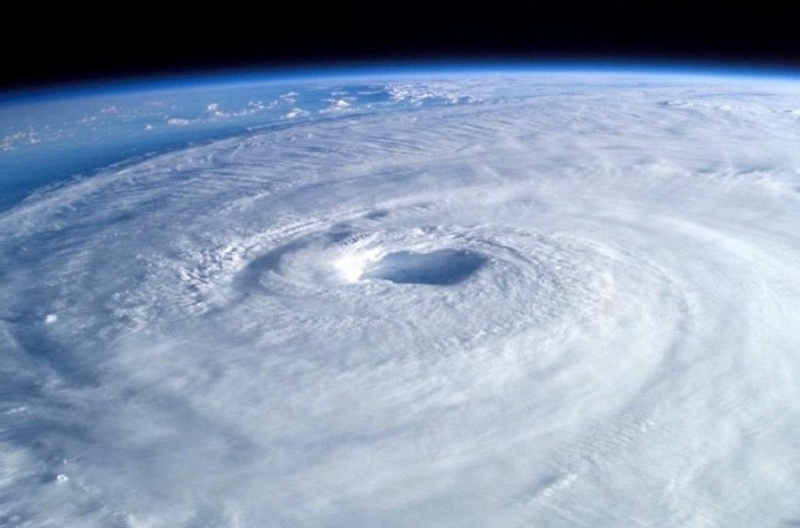
HF Weather Fax to Black Cat Systems is an application allowing you to decode facsimile weather maps on an iPad, an iPhone or Android device. The analysis and forecast maps are provided by radio stations around the World. Broadcast on shortwave, they can easily be received by BLU receivers as found in boating catalogs.
Read more …


 A year after my advocacy for free European data (