 During this period of major departures towards the southern islands before reaching the Antilles, It seems useful to me to relaunch this article which went unnoticed in the heart of summer.
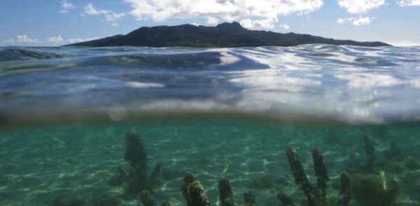
Sargassum (sargassum) are brown algae that grow in the Sargasso Sea, off the coast of Florida and the Bahamas, where they get their name from. Some floating species then drift in a long belt that sometimes extends for thousands of kilometers on the surface of the sea depending on ocean currents and winds.. Many browsers have unfortunately encountered it. Read more …