Since 30 th 2018 (*), I already had information regarding discontinuation by NAVX Studio LLC of the development of two historical applications created by Richard Ray : GPSNavX and MacENC. The buyers of these applications and iNavX had clearly announced focuse only to the development of iNavX, on iOS and Android. It is likely that applications on Mac were no longer profitable, especially with the loss of Navionics maps for MacENC. Read more …
Category : Tutorials
How to…
VMG / VMC – for dummies
 Navigation apps are full of acronyms. This coded and abstruse language was originally developed for electronic navigation instruments, GPS mapping and other chartplotters. These acronyms, in the form of three letters most often, are the contraction of terms defining specific navigation data and according functions. This facilitates on-screen display taking few space. If some of these acronyms are relatively well assimilated by the boater, as SOG for Speed Over Ground (speed over the bottom), you can quickly access subtleties that are not always mastered as COG for Course Over Ground, meaning "route runned on the ground", that the word "Course" in English can mean "Route" or "Heading" according to the context. Read more …
Apple iBooks becomes “Books” [Update]
With the arrival of iOS 12 and MacOS 10.14 "Mojave" the Apple iBooks app disappears to make way for "Books". The user interface is completely changed, and for authors, a conformity of the works is imposed. The application wins certainly not in ergonomics, we feel a desire to put commercial emphasis on the books in the interface, and Access to updates gets complicated.
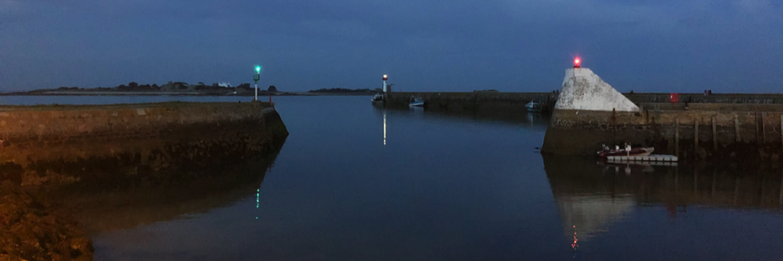
Man Over Board
Credit: SNSM Bandol
Sailors have always been haunted by falling into the sea. Even with a trained crew, the operation of recovering a crew water fallen is risky, Already with the engine, even more with the sail. During my training years in Glénans Sailing School, Each boarding was an opportunity to systematically practice this maneuver, under sail, striving to come "die" heave to windward of the unfortunate, fortunately materialized by a buoy moored in a bucket as drift anchor. But that was not the real problem. It was above all not to lose sight of the crew, because come back to its fall position "reckoning" was virtually mission impossible. And still today, with our sophisticated electronic means, It's not as easy as you might think… Read more …
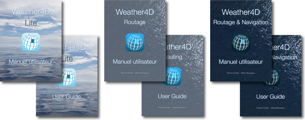
Weather4D – User Guides updated
Christmas comes soon, and Apple Books Store will close its doors for the holidays. Publishers are required to send their books according to a set schedule. So I updated the user guides in advance in French and in English for all three versions Lite, Routing and Routing & Navigation.
You will be able to discover in preview the latest news to be published around the Paris Nautic boat show. Read more …
Transas iSailor becomes Wärtsilä iSailor [Update]
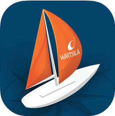 It had to happen one day ! iSailor users will be disappointed… in May 2018, Transas was acquired by the Finnish group Wärtsilä Corporation, a global leader in smart technologies and solutions for the marine and energy markets. As part of the integration into the Wärtsilä brand, Transas iSailor undergoes a relooking process that you will notice during the next release. Transas iSailor becomes Wärtsilä iSailor. Read more …
Fugawi charts service is discontinued [Update]
![]() It's official, the 30 November 2018, Johnson Outdoors, recent purchaser of Fugawi (*), decided to put an end to its activities. After discontinuing the distribution of their PC navigation software in August 2017, having closed the online nautical equipment sales store last spring, it is the turn of the download charts server to disappear. Read more …
It's official, the 30 November 2018, Johnson Outdoors, recent purchaser of Fugawi (*), decided to put an end to its activities. After discontinuing the distribution of their PC navigation software in August 2017, having closed the online nautical equipment sales store last spring, it is the turn of the download charts server to disappear. Read more …
Navionics charts are no longer available for MacENC [Update]
[Update 30 th 2018] Warning : MacENC application is no longer supported by its developers. It no longer reads raster charts and Navionics charts are no longer available. Application is discontinued to date.
Since the upgrade of Navionics Gold to Navionics Plus (¹), Navionics supply disappeared from Fugawi / Charts folder for MacENC. Thinking of a temporary disappearance, I finally asked the Fugawi support who confirmed (between the lines) permanent deletion : Read more …
New for Weather4D
 The latest update of the three Weather4D apps (Lite, Routing, Routing & Navigation) several user-requested improvements in the display of meteograms. But what is less obvious is a big work on the charts display in the Routing & Navigation, to better streamline the tiles overlay at different scales, during handling of zoom and slide, and to remove the "black areas" that sometimes remained on the least efficient devices of the previous generation. Read more …
iNavX 5.2 : AIS by Internet service becomes paying
With the latest version 5.2 of iNavX, AIS reception service by internet becomes charge. Ce service, provided by the company SiiTech for free from the origin of iNavX (¹), becomes a subscription service.