Hear, hear, hardy boaters, new Weather4D applications come up !
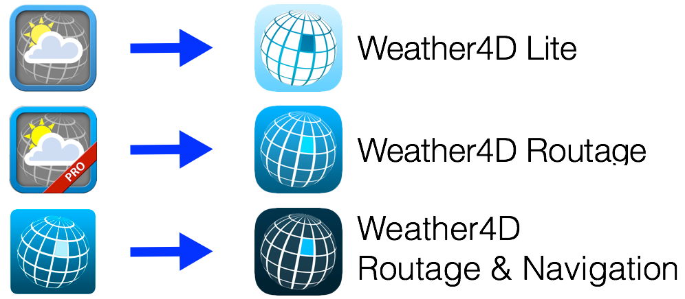
I wrote “the” in the plural. The two historical applications of Sarl APP4NAV, Weather4D (th 2011) and Weather4D Pro (November 2011 ), change to the user interface of the now famous application Weather4D 2.0, which had been the subject of a complete review of its development published in December 2015. In order to make the range more coherent, the names of the three applications are harmonized :