This summer, It's decided, We rent a large catamaran with our family ! Finally, It would be better to say "in extended family" : four adults, Two grown teenagers + their respective boyfriend + a child of 11 years old. We thought of everything : ride, Victualling, clothing, sunscreens, spectacles, Caps, Masks and snorkels, fishing lines… all ! A week before our departure, The skipper sushered us :
— You've thought about phone charging ?
There, a silence, then the answer :
— Uh,, isn't it, What for ?
"You will be nine on board, That's as many smartphones and certainly half of tablets… and there are only two cigarette lighter sockets on the boat !
— Diantre…


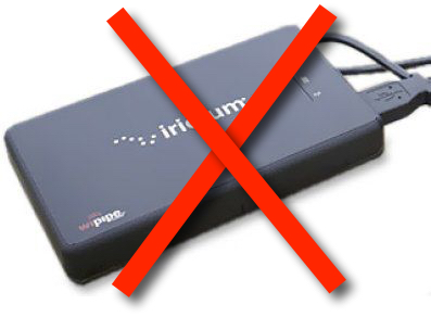 Iridium announced to its distribution network the shutdown of the AxcessPoint WiFi router at the end of February (