Disturbances in GRIB files

Disturbances are not just atmospheric, it happens that they are also in the transmission of GRIB files !

Some of you alert me for two or three days about difficulties to receive files, or the absence of data displayed in iNavX.

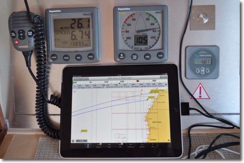
After checking in requesting last night from my iPad, I was forced to note, once a file loaded after long minutes of waiting, that the data were not displayed on the chart. By checking the GRIB display with MacENC, only the wind vectors appeared, but not the contours. So I contacted by myself Richard Ray who, thanks to jet lag, was able to react immediately. Read more …

Crossing the Atlantic with an iPad

I cannot resist the urge to show you some pics (*) to iNavX on iPad which has just crossed the Atlantic, from Mediterranean to Martinique. The sailor has abandoned his MacBook Air, on which he uses MacENC for several years with S-57 ENC charts. It switched to an iPad 3G, featured iNavX, Navionics Gold charts and the Apple app Numbers to write his log book.

iPad

iNavX in action

Read more …

View the currents on electronic charts ?

I deliberately title this article in the form of a question. Many users, all countries included, want the visualization of currents in Richard Ray's applications. Indeed, there is no display function of the currents in GPSNavX, MacENC and iNavX. It is a deliberate choice by the developer because there are many data sources and all hydrographic services are unwilling to provide their files in digital format. In addition, Users are likely to take data displayed on their cards as safe and certain, With consequences that could engage the liability of the publisher and legal risks, especially in the USA, too big for the developer. Read more …

Reading : "D'Entrecasteaux in search of La Perouse" by Jean-Pierre Ledru

Jean-François de Galaup de La Pérouse

Jean-François de Galaup de La Pérouse

Antoine de Bruni d'Entrecastaux

Antoine de Bruni d'Entrecasteaux

We know well, today, The fate of the expedition of the captain of the ship Jean-François de La Pérouse, lost with all hands in the Solomon Islands in 1788. What we know much less well, on the other hand, This is the story of the Admiral Antoine de Bruni d'Entrecasteaux gone for his search in 1791 at the request of Louis XVI, and whose fate was scarcely more enviable.

It is about this unknown expedition Jean-Pierre Ledru wrote, in the pictorial language of the sailors of the time, Through the eyes of a Norman "pilotin" embarked for better or for worse (¹). Read more …

Receive AIS data wirelessly with iNavX

iais

I explained, in a recent post, how to receive NMEA data from on-board instruments without using a Mac (or a PC) on board. It is now possible to do the same thing for receiving AIS data with an iPad or iPhone.

Digital Yacht has developed a new AIS receiver for use with Apple mobile devices. iAIS, is its name, transmits navigation data received from ships via WiFi to dedicated applications on iPhone or iPad via the TCP/IP protocol. Featured with AIS dual-channel A and B receiver, it also allows compatible applications access to NMEA data from on-board instruments. Read more …

Navionics Mobile and Community Sharing

Once will not hurt, I relayed the information in French from Blog Panbo which have interest for Apple mobile devices users.

Community Sharing

  • User Generated Content (User-generated content)
  • Social Mapping or Social Charting (Social Mapping)
  • Crowd Sourcing (Crowd sourcing)

All these english words mean the same principle : sharing to the community all maritime information collected by each charting software user. In other words, each boater can use its navigation application to share all information on any changes observed over charts. This can concern the markup, the erection of a new quay or the appearance of new catways in a harbour, practical information on new harbourt services, incorrect positioning of a rock or the appearance of an uncharted shoal, etc,. Read more …

GRIB files in GPSNavX and MacENC

The menu Weather report in these two applications allows you to request a GRIB weather forecast file and then view it on the open map. The function Request GRIB send a request to the server Saildocs.com returning to the mailbox file requested. You can then get the file in attachment and store it to the location of your choice (²).

The function Show GRIB will then allow you to view the file on the map and scroll through the forecasts. You can usefully refer to MacENC Video Tutorial No. 3 on the website.

Here is a short technical summary of the weather module integrated in these two apps. Read more …