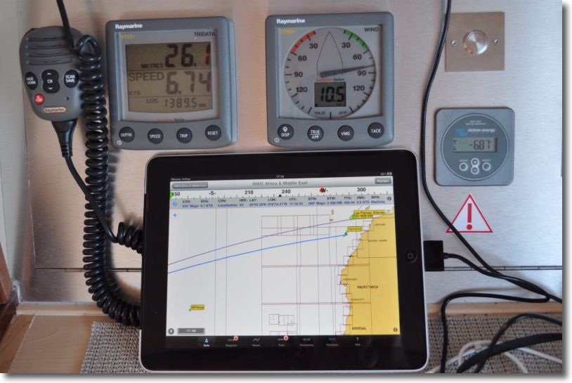
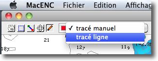
I cannot resist the urge to show you some pics (*) to iNavX on iPad which has just crossed the Atlantic, from Mediterranean to Martinique. The sailor has abandoned his MacBook Air, on which he uses MacENC for several years with S-57 ENC charts. It switched to an iPad 3G, featured iNavX, Navionics Gold charts and the Apple app Numbers to write his log book.

iNavX in action


 You are probably aware that the release of the new iOS4 operating system for iPhone and iPod Touch will be available today during the day, via synchronization of your (s) devices with iTunes. For the iPad, We will have to wait until the autumn.
