
As promised in my post on 15 July, here are the results of the comparative test conducted aboard "Prince d'Oc" for our trip from Port Leucate to Dubrovnik.
Thanks to the loan of a complete IsatPhone Pro, with docking station and outdoor antenna (a big thank you to PYG @voilier_xhosa, who sent me all this from Belgium), and the presence of a similar facility Iridium on board Olivier's boat : Iridium 9575 with Sailor outdoor fixed antenna, We were able to carry out tests in real use situations.

Prince d'Oc on his way to Croatia

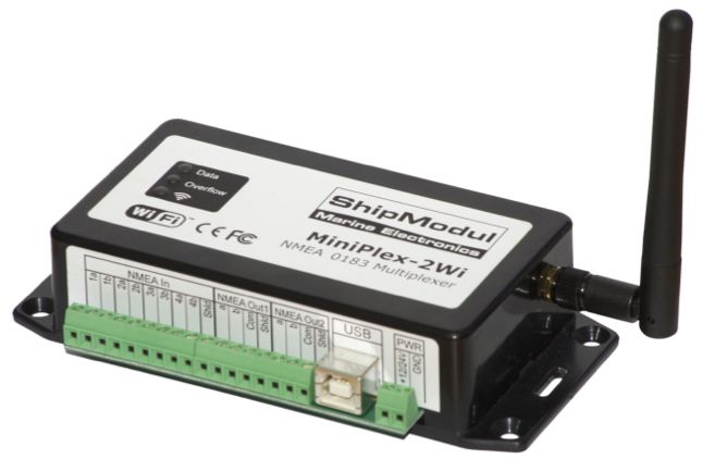 The company ShipModul website has just presented on its website its brand new
