![]() Strong of 1 million applications sold for mobile devices, announcement end of April 2013, Navionics continues to offer new and more attractive options. However, the term “tempting” could sometimes rhyme with “disillusioning”.
Strong of 1 million applications sold for mobile devices, announcement end of April 2013, Navionics continues to offer new and more attractive options. However, the term “tempting” could sometimes rhyme with “disillusioning”.
The last option in-app available from 15 August 2013 is called NavionicsPlus. This is the fourth paid option that Navionics has added to its Navionics Marine apps for iPhone and iPad. What is it about ?


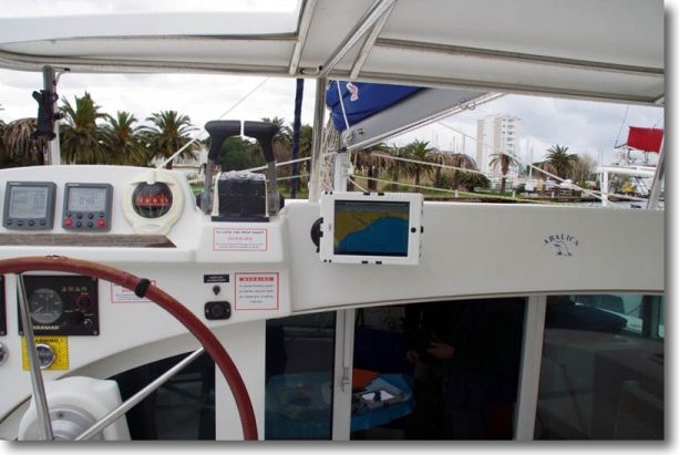
 Announced for three months, The first version of TimeZero has been available for iPad for a few days. Under the brand Nobeltec, bought by Signet S.A., MaxSea holding company (