 The Department of Ecology, Sustainable Development and Energy, published on 4 August a Boating Safety Alert about LEDs bulbs (¹). The text warns boaters on the risks of radio interference found where the VHF antennas are close to navigation lights or bridge lamps equipped with LEDs bulbs. Read more …
Météo-France GRIB files finally for free
Posted on3 comments
 A year after my advocacy for free European data (¹) Météo-France finally offers free access to its two famous ARPEGE and AROME models. A welcome development, started in 2014 by the success of MyOcean, since then integrated into Mercator Ocean (²), but a notable change of attitude for a public establishment which has always been asked to self-finance a significant part of its budget. Forecasts from these two models are made available on Météo-France portal in the GRIB version 2 format. Since the 21 July 2015.
Use your iPhone as a GPS for iPad Wi-Fi
Posted on3 comments
 With the appGPS2IP, we can use (temporaly) the GPS of an iPhone to transmit the position to a Wi-Fi iPad that does not have GPS.
But this method should only be seen as a temporary repair for the reasons which will be mentioned later.. NMEA position data will be sent by GPS2IP using TCP/IP protocol through cellular tethering.
The American GPS in full evolution
Posted on2 comments
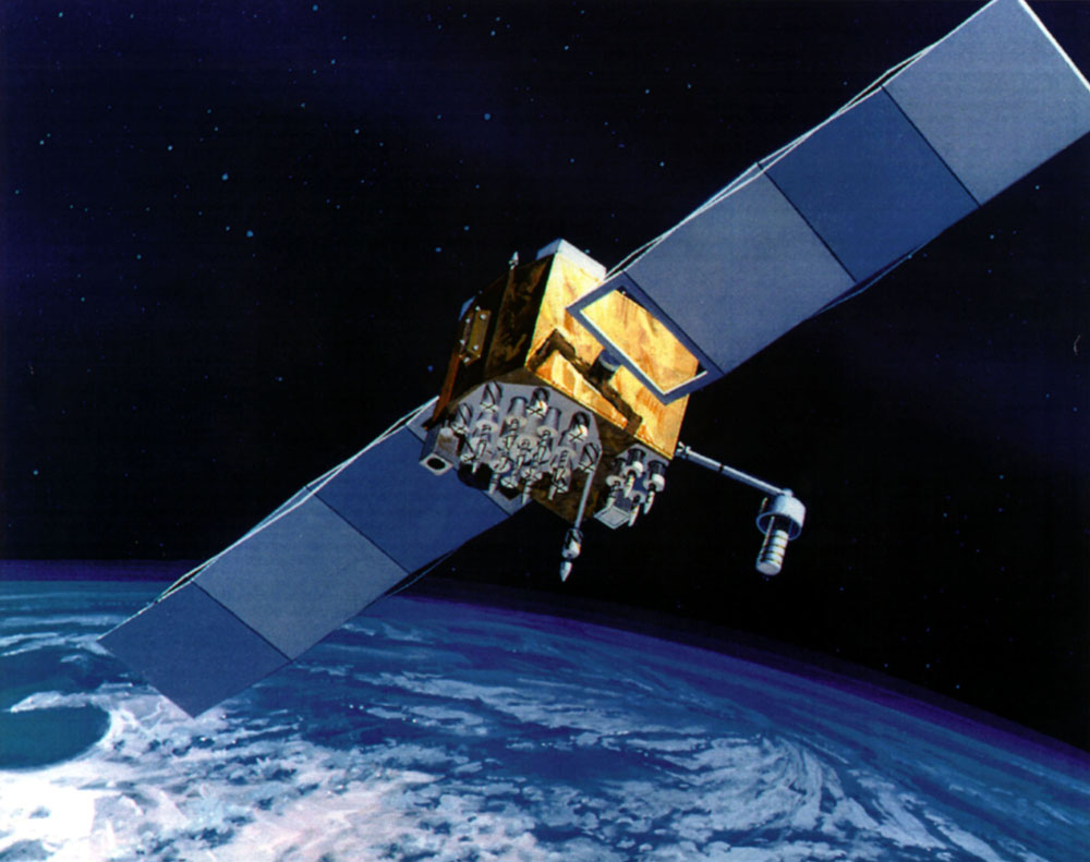 As the number of GPS receiver devices increases significantly, so does our dependency on the GPS, but satellites are subject to wear out and age.
THE U.S. Air Force has since launched 2010 the second constellation of GPS satellites, named GPS Block IIF, or GPS IIF, built by Boeing. These satellites will replace the GPS IIA satellites of the first constellation, launched between 1990 and 1997, with lifespan design about 7,5 years.
Read more …
Recharge mobiles on board
Posted on9 comments
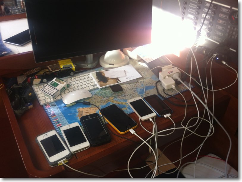
This summer, It's decided, We rent a large catamaran with our family ! Finally, It would be better to say "in extended family" : four adults, Two grown teenagers + their respective boyfriend + a child of 11 years old. We thought of everything : ride, Victualling, clothing, sunscreens, spectacles, Caps, Masks and snorkels, fishing lines… all ! A week before our departure, The skipper sushered us :
— You've thought about phone charging ?
There, a silence, then the answer :
— Uh,, isn't it, What for ?
"You will be nine on board, That's as many smartphones and certainly half of tablets… and there are only two cigarette lighter sockets on the boat !
— Diantre…
Satellite phones : prices increase in France
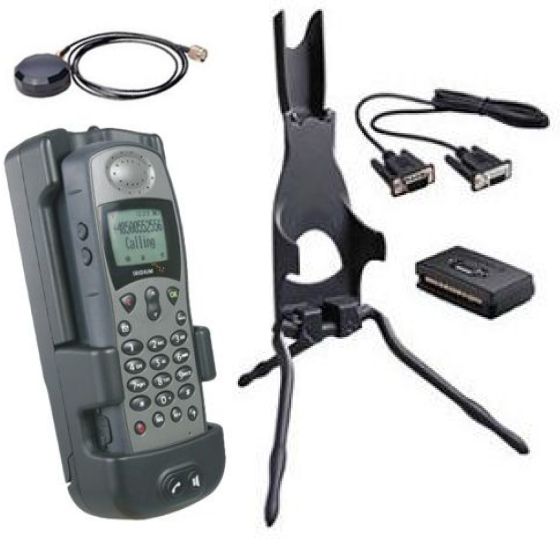 If satellite phone rates, mainly Iridium and Inmarsat, have not evolved in the United States., this is not the case in France. After storage removal of products remained on the shelves, new supplies from distributors saw a sharp increase. Indeed, the combined action of Euro decline and French VAT rise obligated to a significant prices increase, both the material as communication SIM vouchers, prepaid or postpaid. Read more …
Reading : 'Electronic charting' HS48 Voiles et Voiliers
Posted on4 comments
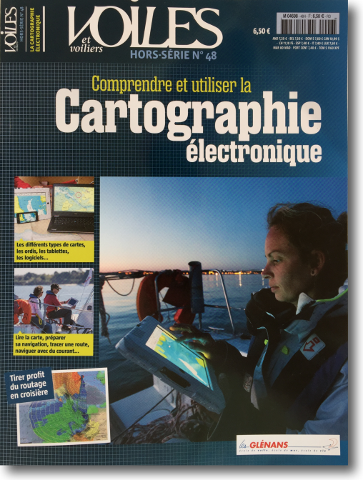 Since end 2012 I found no more of maritime books causing me the overwhelming desire to share, Like the few novels described in this section " Reading ”. Today this feeling comes back to me, in a completely different vein, on reading the excellent Special issue n° 48 of Voiles et Voiliers : " Understand and use electronic charting ”. Read more …
NV Chart extends coasts of France from SHOM
Posted on3 comments
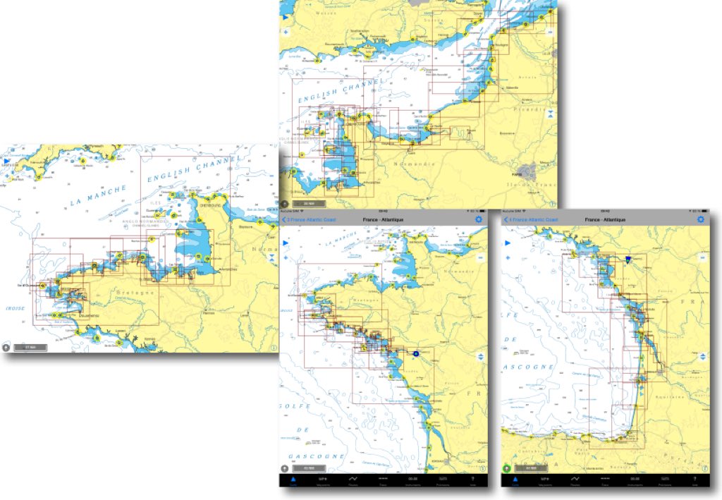
In a previous entry I presented the SHOM raster charts provided by many publishers on iPad. For several weeks the German nautical chart publisher NV Verlag offers two new areas ending coverage of the coasts of France Atlantic and English Channel. These charts are usable both with iNavX on iPad/iPhone, only with GPSNavX and MacENC on Mac. We can therefore, unlike Navionics, use the two available copies of each region on two different media (iPad , iPhone ou Mac).
The new TimeZero arrived
Posted on5 comments
You remember the launch of TimeZero in June 2013 and the interest aroused among the many users of MaxSea on PC. I then wrote :
MaxSea is already planning future developments of its application. A future major release will likely see connection to external instruments over WiFi, File transfers (waypoints, routes and tracks files) with other applications, perhaps openness to other charting editors
We waited, hoped, and then Pschiiitt ! No more evolution since that date except for a few cosmetic improvements in November 2013 before the Paris Boat Show. No more contact for me with the developers (I was a tester for the beta versions). No more news for a year until rumors reported from the last METS in Amsterdam reporting an ongoing development integrating (finally) AIS, and also WiFi radar DRS4W by Furuno. This has now been done since the 23 th. Read more …
Bug iOS 8.3 et GPS Bluetooth
Posted on8 comments
The iTabNav company sent me information regarding all current owners of a GPS Bluetooth-powered for iPad Wi-Fi, like the GNS2000 or BadElf.
Currently Apple iOS 8.3 No longer working with external Bluetooth GPS receivers. It seems that the Apple Location Services in latest version iOS 8.3 doesn't transmit the GPS data Received from these GPS GNS2000 to the application for navigation.
Apple Inc. is aware of this bug iOS and Promises A solution as soon as possible. I hope that this issue will be resolved in the coming days.
Multiple manufacturers applications for navigation Have Warned before The update iOS 8.3 like BadElf, see : http://bad-elf.com/blogs/bad-elf/18013536-alert-compatibility-issue-with-apple-ios-8-3-and-external-gps-receivers
Let's hope for the affected users that an iOS version 8.3.1 will quickly fix this bug. We can hope so because an update should quickly fix another bug that is much more important for Apple : the troubleshoooting of the Touch ID on many devices.

