IsatPhone Pro versus Iridium (continue)

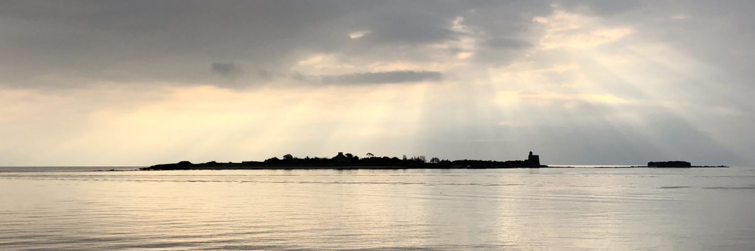
As promised in my post on 15 July, here are the results of the comparative test conducted aboard "Prince d'Oc" for our trip from Port Leucate to Dubrovnik.

Thanks to the loan of a complete IsatPhone Pro, with docking station and outdoor antenna (a big thank you to PYG @voilier_xhosa, who sent me all this from Belgium), and the presence of a similar facility Iridium on board Olivier's boat : Iridium 9575 with Sailor outdoor fixed antenna, We were able to carry out tests in real use situations.

Prince d'Oc vers la Croatie

Prince d'Oc on his way to Croatia

Read more …

It's the holidays !

At sea from July, 20 th until August 3 August, I will use a Mediterranean journey for a report on the use of several devices discussed on this blog :

  • Iridium and Isatphone Pro with Optimizer WXA-102 from Global Marine Network, GRIB file requests with iPad / iPhone.
  • XGate on MacBook Pro with IsatPhone, GRIB file requests with MacENC.
  • Seasmart WiFi and NMEA2000 network with iNavX on iPad / iPhone.

Enough to keep you busy during the ten days of sailing planned between Port-Leucate and Dubrovnik. Hoping that our tests will leave us time to enjoy the sea, few planned stops and some fish have liked to bite our hooks.

There will therefore no more post on this blog before… mid- August, or even early September. But the result of my investigations will be largely developed next autumn.

And as a bonus, but don't say anything to anyone, It's a rumor : a test of the integration of the speed polars into the router function of Weather4D PRO.

Happy sailing to all.

Iridium NEXT the future

Constellation Iridium actuelleThe use of Iridium is taking a growing place among offshore sailors. The security of being able to join your family at sea at any time, or to be able to contact a medical service in the event of an emergency, are arguments often raised by buyers. In addition, The satellite phone offers data services to send and receive SMS and emails, and above all make GRIB weather file requests. Unfortunately, To date, the bandwidth offered for data exchanges is extremely low, not authorizing more than 2400 bits per second on average for use from a mobile phone. Only large fixed installations, out of reach of the average boater, offer speeds up to 128 Kbps.

And tomorrow ? Iridium Communications Inc., based in McLean, Virginia (USA), announced in June 2010, the launch of a major programme to develop a constellation of next-generation satellites, gradually replacing the current one : Iridium NEXT. Read more …

Ocean Atlas, the Pilot Charts revisited

Atlas des OcéansThe Atlas of Oceans by Jimmy and Ivan Cornell is a gold mine in color A3 size of over one kilogram. This one won't fit in an iPad !

60 Pilot Charts Updates to the latest data, 69 transoceanic route charts, Tactical remarks and suggestions for the choice of the best crossing times provided by routers and meteorologists specializing in each area.

It had the passion and experience of the author of famous " World Cruising Routes ” (*) and those of his son to carry out such a work. Read more …

IsatPhone Pro versus Iridium, which one to choose ?

I just read, in the latest issue of Voiles et Voiliers dated May 2012, A comparison Inmarsat-Iridium that leaves me unsatisfied. Quite interesting in form, it presents a lot of approximations in substance, and does not allow the reader to form an opinion on precise and quantified elements of comparison. On the other hand, with all due respect to François-Xavier Ricardou, Mac software solutions have been around for a long time and are perfectly proven : just to see the number of participants provided with Mac or iPad at ARC 2011. I will try to contribute complementary, I hope so, enlighten potential buyers. Read more …

When AIS becomes Virtual Aid to Navigation

The acronym " VAtoN " means in English Virtual Aid to Navigation. In French : Virtual assistance to navigation (¹).

This concept is an extension of the AIS system. It allows, by means of a spacific AIS transponder located onshore, managed by an administration software, reporting virtually unreported hazard. The position of these hazards is plotted by an AIS target as an appropriate icon. For example, a buoy indicating a flush rock may have been temporarily destroyed by a storm. The VAtoN compensates for the absence of this mark while the maritime services put it back in place. Another example, creating an exclusion area of prohibited anchorage has not yet been an update on ENC charts. Read more …

iNAVConnect links iPhone or iPad to Raymarine chartplotters

inavconnectThe company Digital Yacht continues to offer new products for yachting (¹). One of them, iNAVConnect, allows to connect by WiFi iPad or iPhone, featured iNavX, Navionics Marine, or any other compatible application, to Raymarine MFDs C and E series. This allows waypoints and routes to be transferred from Raymarine systems to apps on iPad or iPhone, and vice versa.

It's a start, Digital Yacht hopes other manufacturers implement these transfer functions in the future. Read more …

Testimony : Transquadra and Navigation Mac

Bluestairs
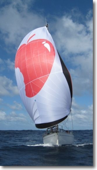
After Jean Debèze, avid supporter of Navigation Mac, made me the pleasure of a detailed tutorial about installing a multiplexer aboard his sailboat, here's a ticket by Jacques Vermeulen, who testifies in a very didactic way to his experience during the recent Transquadra, on board "Bluestairs", with the owner and friend Marc Bolla.

Placed at the Transquadra 2011/2012, We met, during the first stage of the Mediterranean Barcelona-Porto Santo (Madeira), problems receiving and sending GRIB and data files via the Iridium network. Email was impossible to use with the Iridium Airtime cards we used. All we were left with was the possibility of calling with the Iridium.

Back after this first stage, I decided to deepen the subject and educate myself with Francis Fustier whom I had knowledge, Until now, than through his blog, really comprehensive. Read more …