In a previous entry I presented the SHOM raster charts provided by many publishers on iPad. For several weeks the German nautical chart publisher NV Verlag offers two new areas ending coverage of the coasts of France Atlantic and English Channel. These charts are usable both with iNavX on iPad/iPhone, only with GPSNavX and MacENC on Mac. We can therefore, unlike Navionics, use the two available copies of each region on two different media (iPad , iPhone ou Mac).
Label : iNavX

iNavX and iSailor always offer more functions
The year 2015 barely started, the developers are already giving us the developments of their applications, probably made between two glasses of champagne during the holidays. I consider iNavX and iSailor as the two best navigation apps so far under iOS. These are the ones that offer the most extensive functions and the selection of the best charts. They each have their qualities and faults., and I take advantage of the new features brought by their recent update to try a quick function/price comparison.
Warning, this exercise is associated with a snapshot vision, valid today but quickly obsolete tomorrow, as changes are rapid in this domain. On the other hand, it is always difficult to distinguish between objective and subjective aspects in a comparison., I was already confronted in the past (¹). Read more …
How to update charts with iNavX [Update]
With iNavX, with iPhone like iPad, charts update goes through two processes. It is necessary to distinguish individual charts update, and update full charts folders with a new edition. Read more …
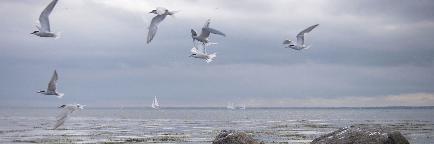
iPad GPS far away from networks
For those who do are not yet fully convinced, despite my assertions in many posts (¹), Here's another example of the accuracy of iPad GPS, cut off from any cellular or terrestrial Wi-Fi network. Already lived in 2011 during a stay in La Reunion (²), this time back from a recent trip to London I brought back the "proofs" below, screenshoted aboard an Airbus A320 : Read more …
iNavX 4.0.0 improves charting [Update]
![]() iNavX 4.0.0 greatly improves the display of raster charts : continuous seamless tiled charts (¹) and access to a new Navionics Gold chart : the 50XG covering almost the entire Pacific Ocean. Read more …
iNavX 4.0.0 greatly improves the display of raster charts : continuous seamless tiled charts (¹) and access to a new Navionics Gold chart : the 50XG covering almost the entire Pacific Ocean. Read more …
iOS7 and navigation applications
The latest version of the iOS operating system for iPad, iPhone and iPod Touch have caused their share of compatibility updates. This time, with iOS7, developers have had hard work to put their interfaces in accordance. As far as we are concerned, the latest versions optimized for iOS7 to date are :
- iNavX 3.7.0
- iSailor 1.5.5
- AyeTides 3.0 (iPhone) and AyeTides XL 2.0 (iPad )
- Weather4D 1.3.2 and Weather4D PRO 1.3.7
Charting compared, a mixed result
 Three weeks and 600 nautical miles of sailing between the mainland and the Balearic Islands have allowed me to test in live some of iPad maritime applications we have.
Warning : There is no question of making a point-by-point comparison between applications, but rather to highlight certain essential aspects of their use. On the other hand, applications used were up-to-date at the beginning of July. Developments are rapid, and updates may have occurred in August or early September that I did not have. Finally, the messaging app iNavX associated with Navionics charting available from the X-Traverse server for me is the "master-standard" marine applications. iNavX is the most complete application in terms of features to date, and Navionics charting (from the X-Traverse server, I specify) closest to the geographical reality observed by many users.
ENCs, Routing and sailing shaves stone
The relationship of a recent experience of an iNavX user and Weather4D PRO routing function invites me to bring a warning to the attention of novices boaters in computer use.
A regatta course, departure from St Helier (Jersey) to arrival Granville, optimized with Weather4D PRO using fine grid GCWF model and MyOcean currents prediction, gave the following route in iNavX :

The optimized route transferred to iNavX
iNavX 3.6.1 with high-resolution GRIB files
Since version 3.6.1 iNavX provides overlay of GRIB weather files in high resolution from theyr.com. This English website owned by Kona Ltd company is the developer of the application GribView which I talked about in a previous post (¹). An active account on x-traverse.com must be open, and done subscription to one of the Theyr subscriptions.
Actually x-traverse.com website allows two subscriptions :
- Theyr Standard – Mobile at the annual price of $9,99 (environ 7,85 €) or monthly of $3,99 (environ 3,10 €)
- Theyr Premium – Mobile at the annual price of $19,99 (environ 15,70 €) or monthly of $6,99 (environ 5,40 €)
Testimony : Transquadra and Navigation Mac
 After Jean Debèze, avid supporter of Navigation Mac, made me the pleasure of a detailed tutorial about installing a multiplexer aboard his sailboat, here's a ticket by Jacques Vermeulen, who testifies in a very didactic way to his experience during the recent Transquadra, on board "Bluestairs", with the owner and friend Marc Bolla.
—
Placed at the Transquadra 2011/2012, We met, during the first stage of the Mediterranean Barcelona-Porto Santo (Madeira), problems receiving and sending GRIB and data files via the Iridium network. Email was impossible to use with the Iridium Airtime cards we used. All we were left with was the possibility of calling with the Iridium.
Back after this first stage, I decided to deepen the subject and educate myself with Francis Fustier whom I had knowledge, Until now, than through his blog, really comprehensive. Read more …